Login

Zabudli ste prihlasovacia meno

Cookies have to be accepted!
Your browser's cookie functionality is disabled. Please enable this functionality.

Not a member yet?

Register now
Login

Available for registred users only

Log in to use this feature.

Zabudli ste prihlasovacia meno

Cookies have to be accepted!
Your browser's cookie functionality is disabled. Please enable this functionality.

Not a member yet?

Register now
Filter
Kategórie
Advanced filters
  • Dĺžka (km)
  • výškomer
Uložiť filter Reset filter

TrackRank

QRCode

Technical data

Dĺžka10,5 km výškomer1254 m Way down1218 m Doba04:03 h:m dátum13.02.2022
ohodnotenia Author Kraj pôžitok z túry kondícia technika

štatistika

162 náhľady ohodnotenia 12 Stiahnutia priemer
Rate
  • list trasy
  • príjazd
  • Stiahnutia

Start in Brennerbad auf dem freigeschobenen Parkplatz (gratis) gleich nach der Bahnunterführung.

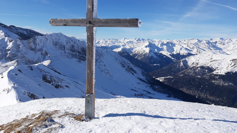
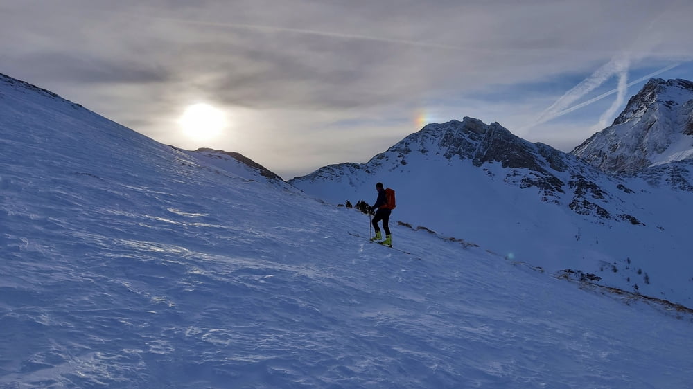
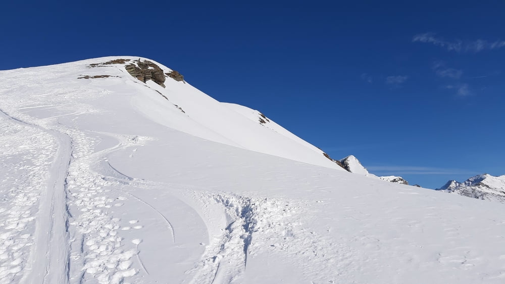
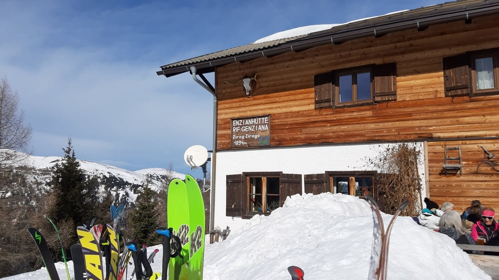
Bis zur Enzianhütte einigermaßen steiler Anstieg auf einer abgefahrenen, pistenähnlichen, schmalen Schneiße. Nach der Hütte kommt man ins offene Gelände. Leider haben wir uns links gehalten. Da war es großteils harschig bis eisig, daher ziemlich mühsam. Oben gibt es eine kurze Gratpassage und dann nochmal ein kleiner Gegenanstieg zum Gipfel. Runter hatten wir in der Mulde fast durchgehend tolle Tiefschneeverhältnisse. Nach einer guten Einkehr in der Enzianhütte sind wir auf Anraten eines Einheimischen durch den Wald im schönen Tiefschnee abgefahren.
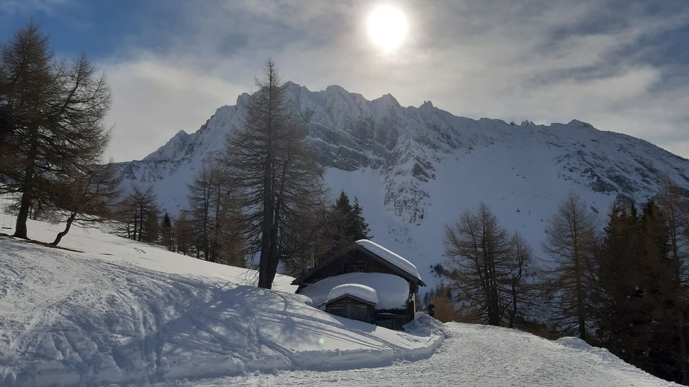
galéria trás

Mapa trasy a výškový profil

  • Open Street Map
  • Google
Minimum height 1283 m Maximum height 2562 m Detailný pohľad

More about the tour author

mitter
Member since 2008

Send private message

komentáre

Start in Brennerbad auf dem freigeschobenen Parkplatz (gratis) gleich nach der Bahnunterführung.

GPS trasy

Trackpoints
  • GPX / Garmin Map Source (gpx) download
  • TCX / Garmin Training Center® (tcx) download
  • CRS / Garmin Training Center® (crs) download
  • Google Earth (kml) download
  • G7ToWin (g7t) download
  • TTQV (trk) download
  • Overlay (ovl) download
  • Fugawi (txt) download
  • Kompass (DAV) Track (tk) download
  • list trasy (pdf) download
  • Original file of the author (gpx) download

More about the tour author

mitter
Member since 2008

Send private message
Share track
Add to my favorites
Remove from my favorites
Edit tags
My score
Rate
trasa: Flatschspitz 220206
Druh: lyže
Dĺžka: 10,5 km
Evaluated on:
Doba:
Day(s)
Hour(s)
Minute(s)
ohodnotenie: Kraj pôžitok z túry kondícia technika