Login

Zabudli ste prihlasovacia meno

Cookies have to be accepted!
Your browser's cookie functionality is disabled. Please enable this functionality.

Not a member yet?

Register now
Login

Available for registred users only

Log in to use this feature.

Zabudli ste prihlasovacia meno

Cookies have to be accepted!
Your browser's cookie functionality is disabled. Please enable this functionality.

Not a member yet?

Register now
Filter
Kategórie
Advanced filters
  • Dĺžka (km)
  • výškomer
Uložiť filter Reset filter

TrackRank

QRCode

Technical data

Dĺžka16,4 km výškomer1437 m Way down1434 m Doba00:00 h:m dátum10.03.2022
ohodnotenia Author Kraj pôžitok z túry kondícia technika

štatistika

121 náhľady ohodnotenia 0 Stiahnutia priemer
Rate
  • list trasy
  • príjazd
  • Stiahnutia
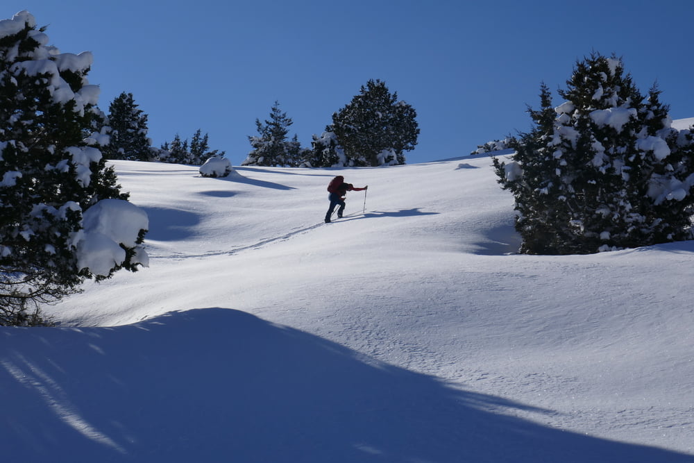
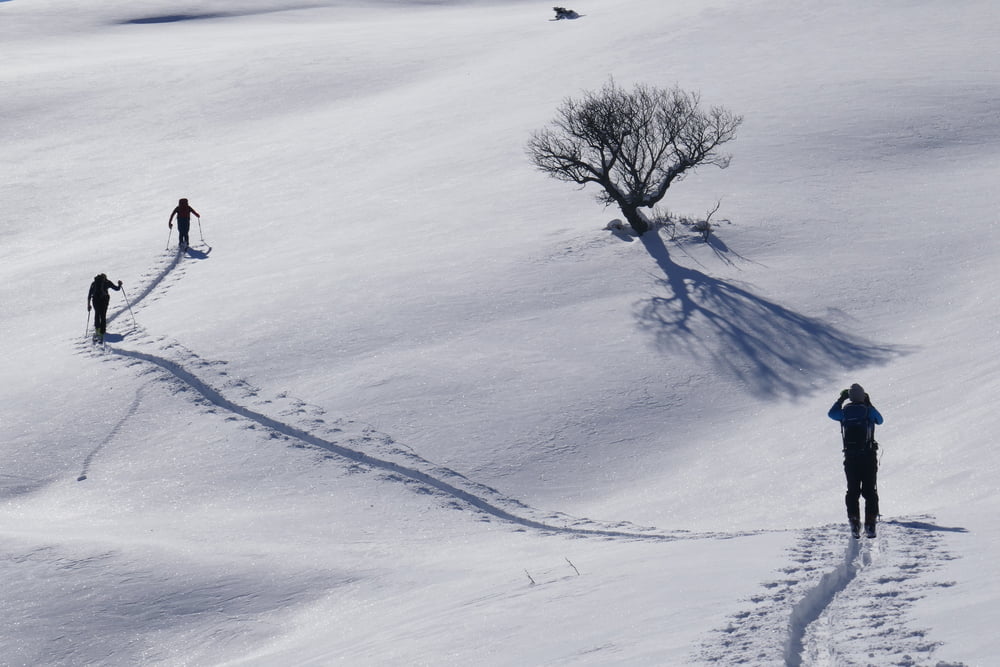
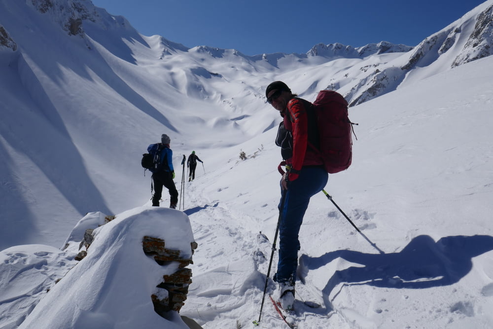
Von Antochori wie bei der Tour aauf den Kalogiros zuerst entlang der zugeschneiten Almstraße. Später kann man eine Kehreabkürzen und weiter an eienr Alm vorbei. Weiter im Talgrund oder (nicht so gut) an seiner rechten Flanke nach Süden. Hier bieten sich 3 Möglichkeiten: 1. Geradeaus im Talgrund weiter bis zur Scharte auf 2015m und dann über den Grat zum Gipfel (vermutlich der einfachste und sicherste Aufstieg) 2. Im Talgrund dem rechten Zweeig folgen bis zur Scharte, ähnlich unserer Abfahrtsspur. 3. Über die rechte Flanke in Stufen bis auf den Punkt 2154. Für uns endete die Tour hier wegen Schlechtwettereinbruch. Ansonsten leicht hinab bis in die Scharte, wo man mit 2. zusammentrifft. Den Lakmos Gipfel nun auf seiner NW-Seite entlang einer Forststraße queren und von SW auf den Gipfel.

galéria trás

Mapa trasy a výškový profil

  • Open Street Map
  • Google
Minimum height 1039 m Maximum height 2180 m Detailný pohľad

More about the tour author

Gi
Member since 2010

Send private message

komentáre

Von Metsovo wie beim Kalogiros nach Antochori zum Fußballplatz

GPS trasy

Trackpoints
  • GPX / Garmin Map Source (gpx) download
  • TCX / Garmin Training Center® (tcx) download
  • CRS / Garmin Training Center® (crs) download
  • Google Earth (kml) download
  • G7ToWin (g7t) download
  • TTQV (trk) download
  • Overlay (ovl) download
  • Fugawi (txt) download
  • Kompass (DAV) Track (tk) download
  • list trasy (pdf) download
  • Original file of the author (gpx) download

More about the tour author

Gi
Member since 2010

Send private message
Share track
Add to my favorites
Remove from my favorites
Edit tags
My score
Rate
trasa: Lakmos (Tsoukarela)
Druh: lyže
Dĺžka: 16,4 km
Evaluated on:
Doba:
Day(s)
Hour(s)
Minute(s)
ohodnotenie: Kraj pôžitok z túry kondícia technika