

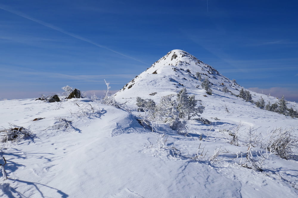
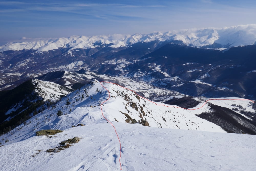
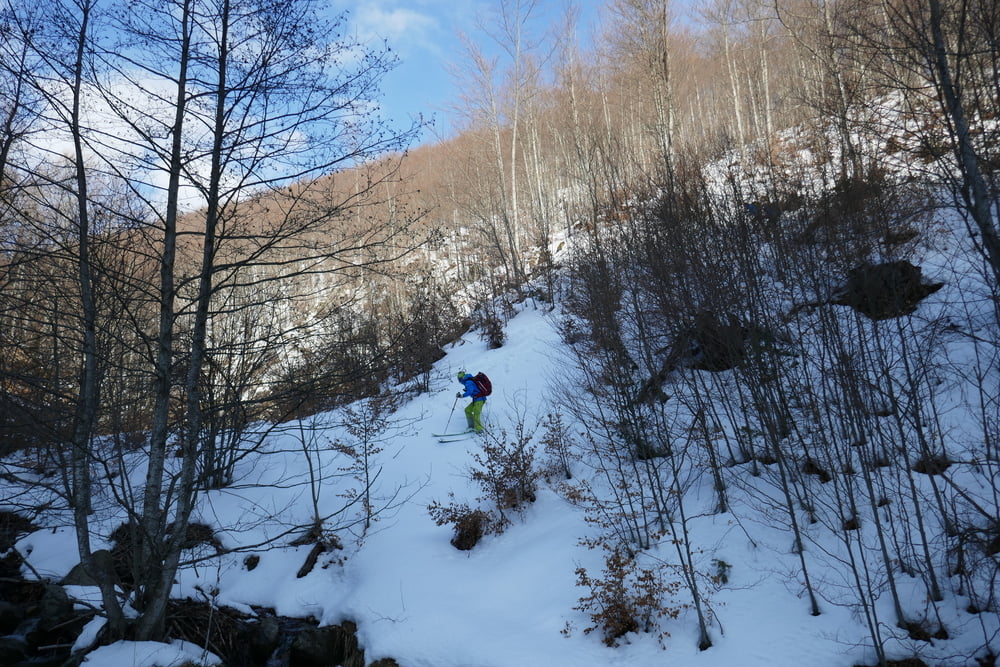
Die ab Sevc ungeräumte Straße weiter das Tal hinein. Bei guter Schneelagee kann auch alternativ gleich über den Südhang aufgestiegen werden. Wo sich der Bach verzweigt dem rechten Bachlauf kurz entlang, ihn überqueren und sinen Durchschlupf durch den steilen bewachsenen Hang suchen. nach 50 Hm wird es schon offener und man sucht den besten Anstieg durch die Dornenbüsche auf dem Rücken. Nun problemlos immer weiter über den Rücken, zwischendurch ein kurzes Flachstück und zuletzt steiler auf den Grat knapp östlich des Gipfels. Über den Grat bis zum Gipfel mit schöner Rundumsicht insbesondere auch auf die Skitouren im Grenzkamm zu Nordmazedonien
galéria trás
Mapa trasy a výškový profil
Minimum height 1128 m
Maximum height 2160 m
More about the tour author

|
Gi |
komentáre

Von Prevalla zurück in Richtung Pristina Kurz vor Brezovica links ab über Jazhince bis nach Sevc. Parkmöglichkeit am Ortsende
GPS trasy
Trackpoints-
GPX / Garmin Map Source (gpx) download
-
TCX / Garmin Training Center® (tcx) download
-
CRS / Garmin Training Center® (crs) download
-
Google Earth (kml) download
-
G7ToWin (g7t) download
-
TTQV (trk) download
-
Overlay (ovl) download
-
Fugawi (txt) download
-
Kompass (DAV) Track (tk) download
-
list trasy (pdf) download
-
Original file of the author (gpx) download
More about the tour author
|
|
Gi |
Add to my favorites
Remove from my favorites
Edit tags
Open track
My score
Rate