


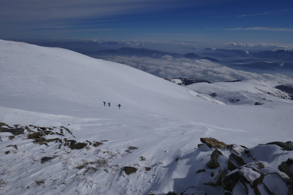
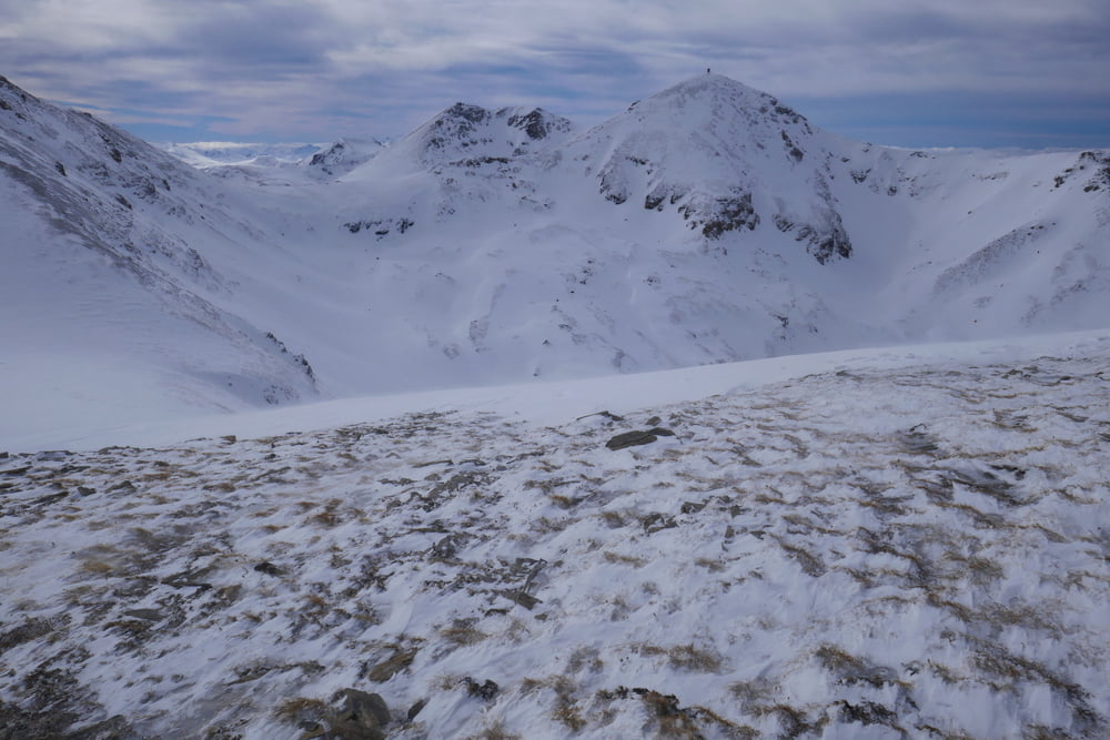
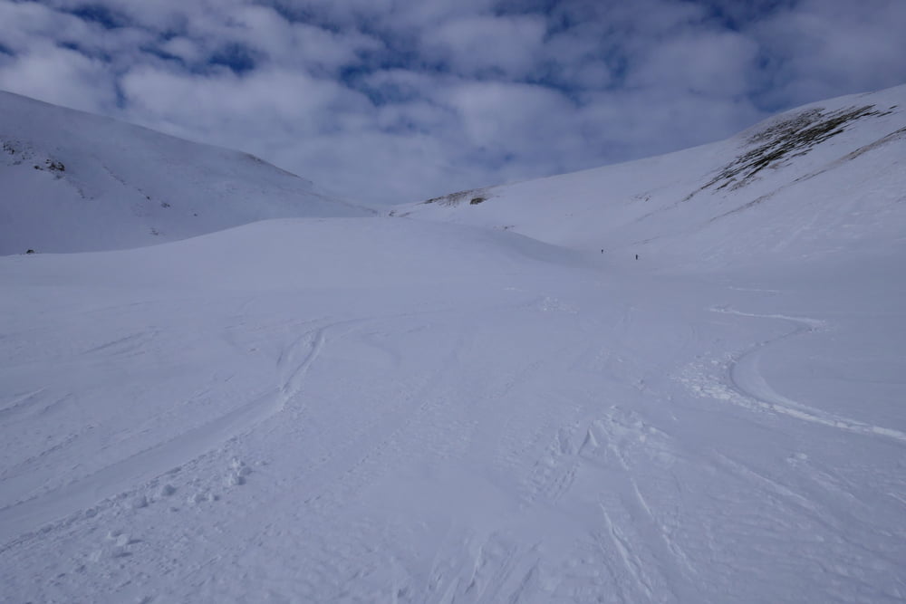
Man quert aus dem Skigebiet zum ersten Gipfel (alternativ mit Liftunterstützung) . Über den Grat dann weiter in Richtung Titov Vrh. Wegen eines Höhensturms gaben wir das Ziel Titov Vrh am Karabinar auf und fuhren nach Süden ab. Dann nochmals Aufstieg zum Sin Brb um die schönen Hänge mitzunehmen und weniger Querung ins skigebiet zu haben. Dann Querung zur Liftstation und über die Piste zurück.
galéria trás
Mapa trasy a výškový profil
Minimum height 1875 m
Maximum height 2767 m
More about the tour author

|
Gi |
komentáre

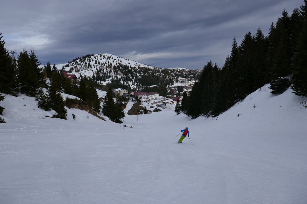
Von Tetovo ins Skigebiet nach Popova Sapka. Das Skigebiet hat schon bessere Tage gesehen. Die angebotene Fereinwohnung war sehr heruntergekommen so sind wir ins Hotel (auch alt, aber ok) ausgewichen. Die Pizza dort war hervorragend. In die Berge um das Skigebiet werden die Skifahrer auch mit Pistenraupen emporgefahren, so dass die Unberührtheit etwas leidet.
GPS trasy
Trackpoints-
GPX / Garmin Map Source (gpx) download
-
TCX / Garmin Training Center® (tcx) download
-
CRS / Garmin Training Center® (crs) download
-
Google Earth (kml) download
-
G7ToWin (g7t) download
-
TTQV (trk) download
-
Overlay (ovl) download
-
Fugawi (txt) download
-
Kompass (DAV) Track (tk) download
-
list trasy (pdf) download
-
Original file of the author (gpx) download
More about the tour author
|
|
Gi |
Add to my favorites
Remove from my favorites
Edit tags
Open track
My score
Rate