


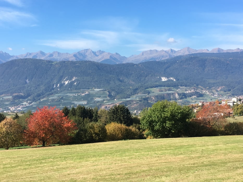
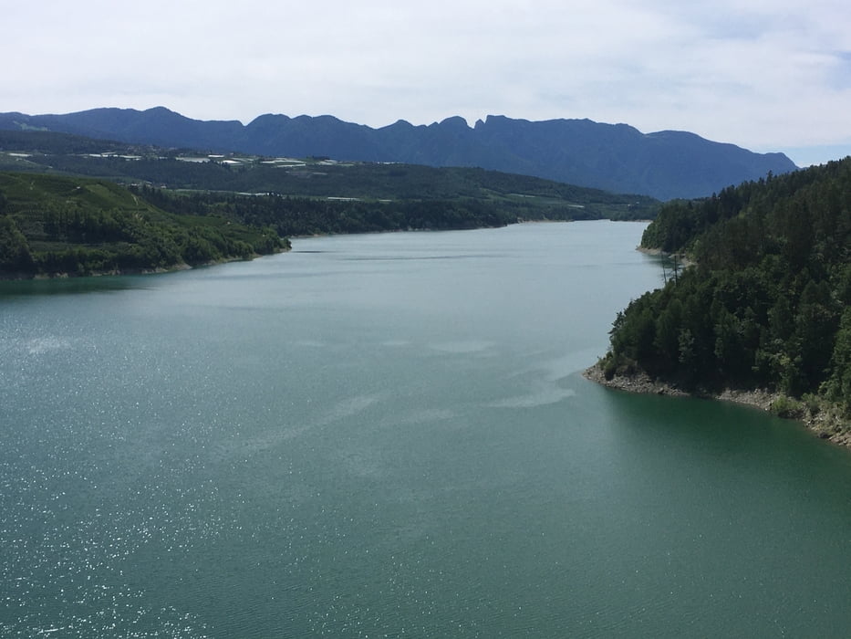
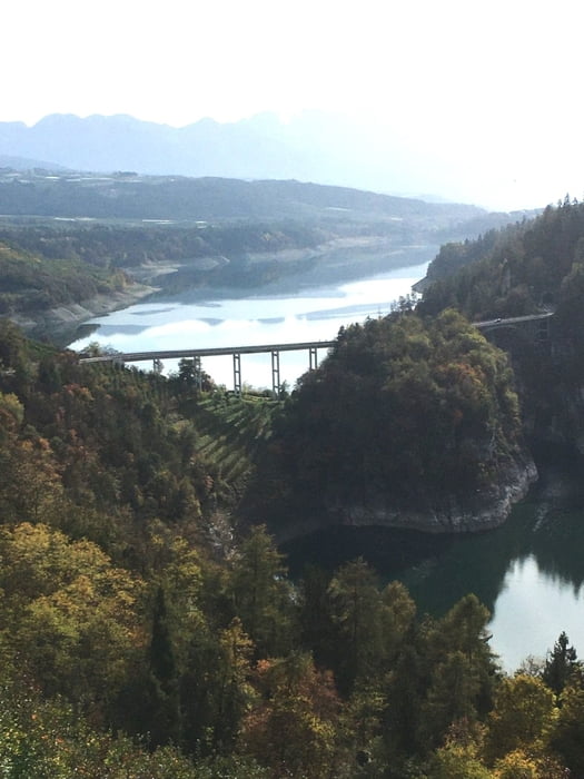
Von Bozen über die Mendel ins Nonstal und durch das Etschtal zurück.
Am Anfang haben wir eine längere Steigung auf die Mendel, die aber angenehm zu fahren ist. Es folgt eine Abfahrt nach Fondo und der nächste Teil der Tour verläuft im hügeligen Bereich über Cles hinunter ins Etschtal und auf Radweg von San Michele zurück nach Bozen.
Im Sommer sollte man die Tour in der Früh beizeiten starten, denn die Auffahrt auf die Mendel ist voll in der Sonne.
Ihr findet alle meine Touren auf Strava .
Further information at
https://www.visittrentino.info/de/erleben/sommerurlaub-in-den-bergengaléria trás
Mapa trasy a výškový profil
Minimum height 224 m
Maximum height 1342 m
More about the tour author
|
|
Califan |
komentáre

https://www.google.com/maps/place/46%C2%B029'54.2%22N+11%C2%B022'35.7%22E/@46.4983979,11.3759443,185m/data=!3m2!1e3!4b1!4m6!3m5!1s0x0:0x43e2f545b1a1926c!7e2!8m2!3d46.4983973!4d11.3765882
GPS trasy
Trackpoints-
GPX / Garmin Map Source (gpx) download
-
TCX / Garmin Training Center® (tcx) download
-
CRS / Garmin Training Center® (crs) download
-
Google Earth (kml) download
-
G7ToWin (g7t) download
-
TTQV (trk) download
-
Overlay (ovl) download
-
Fugawi (txt) download
-
Kompass (DAV) Track (tk) download
-
list trasy (pdf) download
-
Original file of the author (gpx) download
More about the tour author
|
|
Califan |
Add to my favorites
Remove from my favorites
Edit tags
Open track
My score
Rate