Login

Zabudli ste prihlasovacia meno

Cookies have to be accepted!
Your browser's cookie functionality is disabled. Please enable this functionality.

Not a member yet?

Register now
Login

Available for registred users only

Log in to use this feature.

Zabudli ste prihlasovacia meno

Cookies have to be accepted!
Your browser's cookie functionality is disabled. Please enable this functionality.

Not a member yet?

Register now
Filter
Kategórie
Advanced filters
  • Dĺžka (km)
  • výškomer
Uložiť filter Reset filter

TrackRank

QRCode

Technical data

Dĺžka97,5 km výškomer2662 m Way down2642 m Doba05:00 h:m dátum15.05.2022
ohodnotenia Author Kraj pôžitok z túry kondícia technika

štatistika

138 náhľady ohodnotenia 6 Stiahnutia priemer
Rate
  • list trasy
  • príjazd
  • Stiahnutia

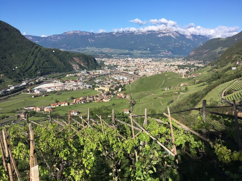
Schöne aber schwere Tour auf verkehrsarmen Straßen.

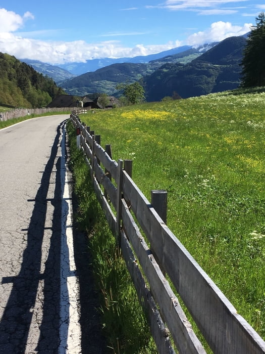
Die Auffahrt auf den Ritten führt über Signat zum Wolfsgrubner See und hat immer wieder Steigungen im zweistelligen Bereich. 

Ritten - Klausen: bergab mit  kurzen Gegenanstiege.

Klausen - Lajen: auch hier einige kurze Steigungen im zweistelligen Bereich

Lajen - Panieder Sattel: bergab bis St.Ulrich mit anschliesenden Anstieg zum höchsten Punkt der Tour (1437m).

Rest bergab bis Bozen.


Further information at

https://www.suedtirol.info/de

galéria trás

Mapa trasy a výškový profil

  • Open Street Map
  • Google
Minimum height 206 m Maximum height 1344 m Detailný pohľad

More about the tour author

Califan
Member since 2010

Send private message

komentáre

https://www.google.com/maps/place/46%C2%B029'54.3%22N+11%C2%B022'35.6%22E/@46.498426,11.3759233,173m/data=!3m2!1e3!4b1!4m6!3m5!1s0x0:0x5fc4af14c7e9c197!7e2!8m2!3d46.4984256!4d11.3765665

GPS trasy

Trackpoints
  • GPX / Garmin Map Source (gpx) download
  • TCX / Garmin Training Center® (tcx) download
  • CRS / Garmin Training Center® (crs) download
  • Google Earth (kml) download
  • G7ToWin (g7t) download
  • TTQV (trk) download
  • Overlay (ovl) download
  • Fugawi (txt) download
  • Kompass (DAV) Track (tk) download
  • list trasy (pdf) download
  • Original file of the author (gpx) download

More about the tour author

Califan
Member since 2010

Send private message
Share track
Add to my favorites
Remove from my favorites
Edit tags
My score
Rate
trasa: Ritten - Klausen - St.Ulrich - Kastelruth
Druh: pretekársky bicykel
Dĺžka: 97,5 km
Evaluated on:
Doba:
Day(s)
Hour(s)
Minute(s)
ohodnotenie: Kraj pôžitok z túry kondícia technika