Login

Zabudli ste prihlasovacia meno

Cookies have to be accepted!
Your browser's cookie functionality is disabled. Please enable this functionality.

Not a member yet?

Register now
Login

Available for registred users only

Log in to use this feature.

Zabudli ste prihlasovacia meno

Cookies have to be accepted!
Your browser's cookie functionality is disabled. Please enable this functionality.

Not a member yet?

Register now
Filter
Kategórie
Advanced filters
  • Dĺžka (km)
  • výškomer
Uložiť filter Reset filter

TrackRank

QRCode

Technical data

Dĺžka84,9 km výškomer2043 m Way down2042 m Doba07:00 h:m dátum18.08.2023
ohodnotenia Author Kraj pôžitok z túry kondícia technika

štatistika

236 náhľady ohodnotenia 9 Stiahnutia priemer
Rate
  • list trasy
  • príjazd
  • Stiahnutia
  • Rundkurs gegen den Uhrzeigersinn.
  • Start/Ziel: Meran.
  • Einfahren auf dem Radweg durch das Passeiertal bis St.Leonhard.
  • Weiter auf asfaltierter Nebenstrasse(kein Verkehr) bis Walten.
  • Abfahrt auf der Jaufenstrasse.
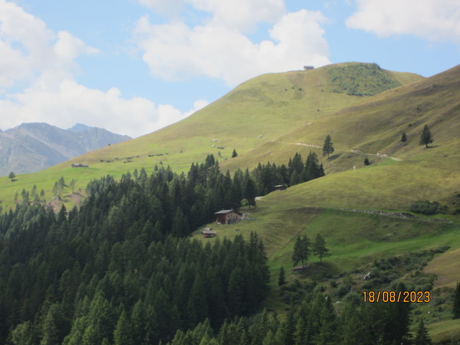
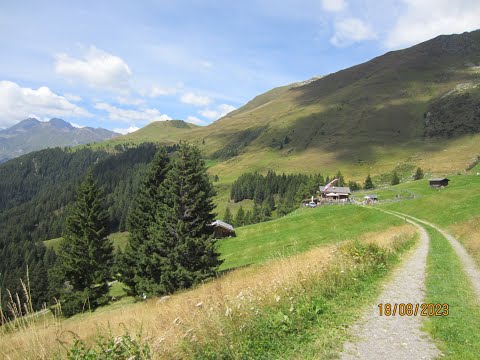
  • Anstieg auf Asfalt zur Kuchelalm 9-15%. Die letzten 200 HM auf Forstweg.
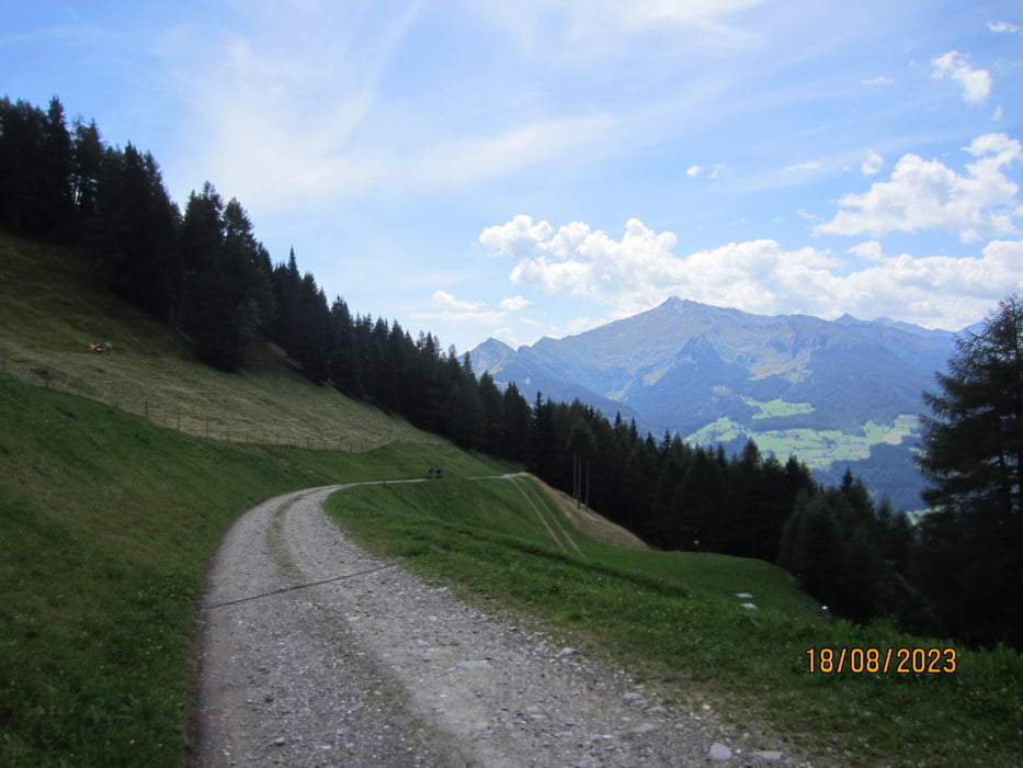
  • Abfahrt auf Schotter/Asfalt nach Stuls. 
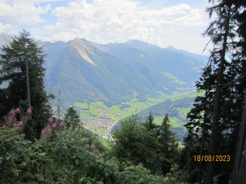
  • Weiter talwärts auf wenig befahrener Provinzstrasse nach Moos.
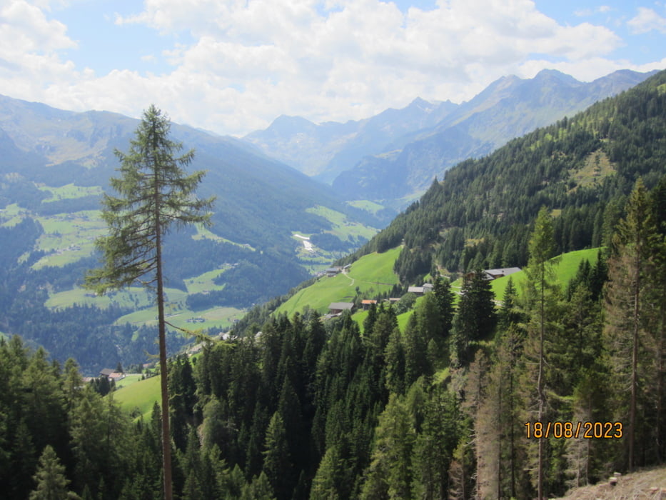
  • Kurzer Aufstieg auf wenig befahrener Provinzstrasse nach Platt.
  • Abfahrt auf asfaltierter Nebenstrasse nach St.Leonhard.
  • Ab St.Leonhard auf dem Radweg nach Meran zurückrollen.
  • Ein Danke an Paulsche für den Tourenvorschlag und die Führung.

galéria trás

Mapa trasy a výškový profil

  • Open Street Map
  • Google
Minimum height 295 m Maximum height 1856 m Detailný pohľad

More about the tour author

MargesinFriedrich
Member since 2012

Send private message

komentáre

GPS trasy

Trackpoints
  • GPX / Garmin Map Source (gpx) download
  • TCX / Garmin Training Center® (tcx) download
  • CRS / Garmin Training Center® (crs) download
  • Google Earth (kml) download
  • G7ToWin (g7t) download
  • TTQV (trk) download
  • Overlay (ovl) download
  • Fugawi (txt) download
  • Kompass (DAV) Track (tk) download
  • list trasy (pdf) download
  • Original file of the author (gpx) download

More about the tour author

MargesinFriedrich
Member since 2012

Send private message
Share track
Add to my favorites
Remove from my favorites
Edit tags
My score
Rate
trasa: Kuchlalm-Stuls-Passeiertal. Von Meran.
Druh: horský bicykel
Dĺžka: 84,9 km
Evaluated on:
Doba:
Day(s)
Hour(s)
Minute(s)
ohodnotenie: Kraj pôžitok z túry kondícia technika