Login

Zabudli ste prihlasovacia meno

Cookies have to be accepted!
Your browser's cookie functionality is disabled. Please enable this functionality.

Not a member yet?

Register now
Login

Available for registred users only

Log in to use this feature.

Zabudli ste prihlasovacia meno

Cookies have to be accepted!
Your browser's cookie functionality is disabled. Please enable this functionality.

Not a member yet?

Register now
Filter
Kategórie
Advanced filters
  • Dĺžka (km)
  • výškomer
Uložiť filter Reset filter

TrackRank

QRCode

Technical data

Dĺžka29,6 km výškomer1725 m Way down5 m Doba03:25 h:m dátum19.11.2023
ohodnotenia Author Kraj pôžitok z túry kondícia technika

štatistika

177 náhľady ohodnotenia 0 Stiahnutia priemer
Rate
  • list trasy
  • príjazd
  • Stiahnutia
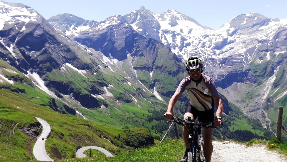
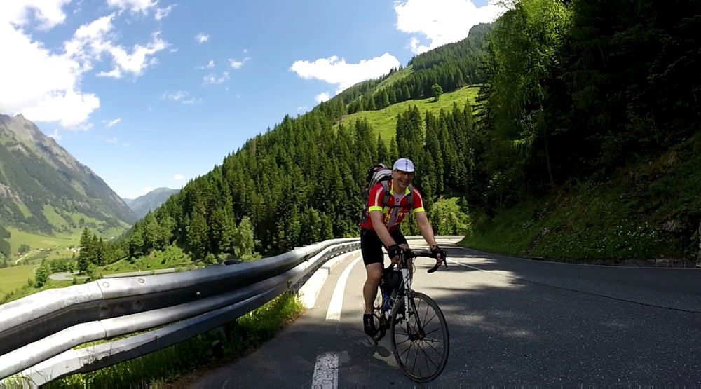
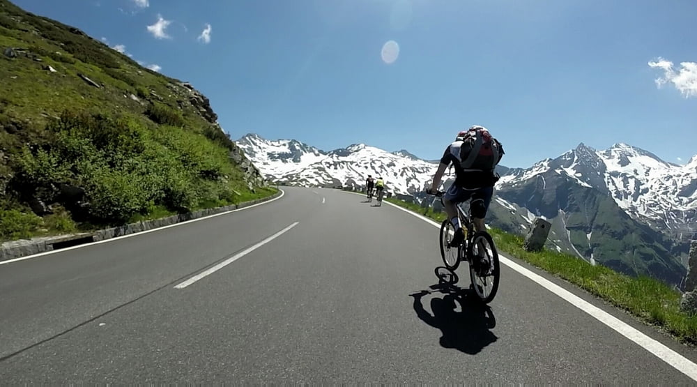
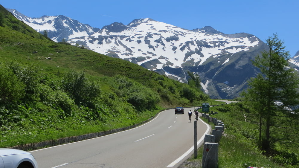
Jeder Radfahrer muss einmal über die Großglockner Hochalpenstraße gefahren sein! Die Strasse ist super breit ausgebaut - dadurch ist der Verkehr weniger schlimm als erwartet. Wir starteten in Bruck Bahnhof. Die ersten 10km teilweise auf Radwegen und Strasse sind mit 3.8% Steigung gut zum warmfahren. In der nächsten 5 km nimmt die Steigung zu un ab der Mautstelle geht es konstant mit 9% Steigung bergauf. Anstrengend - aber das Panorama entschädigt für die Qualen.  

galéria trás

Mapa trasy a výškový profil

  • Open Street Map
  • Google
Minimum height 766 m Maximum height 2499 m Detailný pohľad

More about the tour author

ETTMAYER
Member since 2007

Send private message

komentáre

Mit dem Railjet von Wien via Salzburg ist die Anreise bequem machbar. 

GPS trasy

Trackpoints
  • GPX / Garmin Map Source (gpx) download
  • TCX / Garmin Training Center® (tcx) download
  • CRS / Garmin Training Center® (crs) download
  • Google Earth (kml) download
  • G7ToWin (g7t) download
  • TTQV (trk) download
  • Overlay (ovl) download
  • Fugawi (txt) download
  • Kompass (DAV) Track (tk) download
  • list trasy (pdf) download
  • Original file of the author (gpx) download

More about the tour author

ETTMAYER
Member since 2007

Send private message
Share track
Add to my favorites
Remove from my favorites
Edit tags
My score
Rate
trasa: Großglockner: Bruck-Edelweißspitze
Druh: cykloturistika
Dĺžka: 29,6 km
Evaluated on:
Doba:
Day(s)
Hour(s)
Minute(s)
ohodnotenie: Kraj pôžitok z túry kondícia technika