Login

Zabudli ste prihlasovacia meno

Cookies have to be accepted!
Your browser's cookie functionality is disabled. Please enable this functionality.

Not a member yet?

Register now
Login

Available for registred users only

Log in to use this feature.

Zabudli ste prihlasovacia meno

Cookies have to be accepted!
Your browser's cookie functionality is disabled. Please enable this functionality.

Not a member yet?

Register now
Filter
Kategórie
Advanced filters
  • Dĺžka (km)
  • výškomer
Uložiť filter Reset filter

TrackRank

QRCode

Technical data

Dĺžka12,5 km výškomer13 m Way down22 m Doba04:30 h:m dátum11.09.2009
ohodnotenia Author Kraj pôžitok z túry kondícia technika

štatistika

2062 náhľady ohodnotenia 23 Stiahnutia priemer
Rate
  • list trasy
  • príjazd
  • Stiahnutia

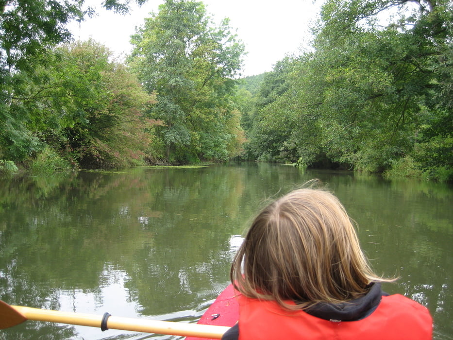
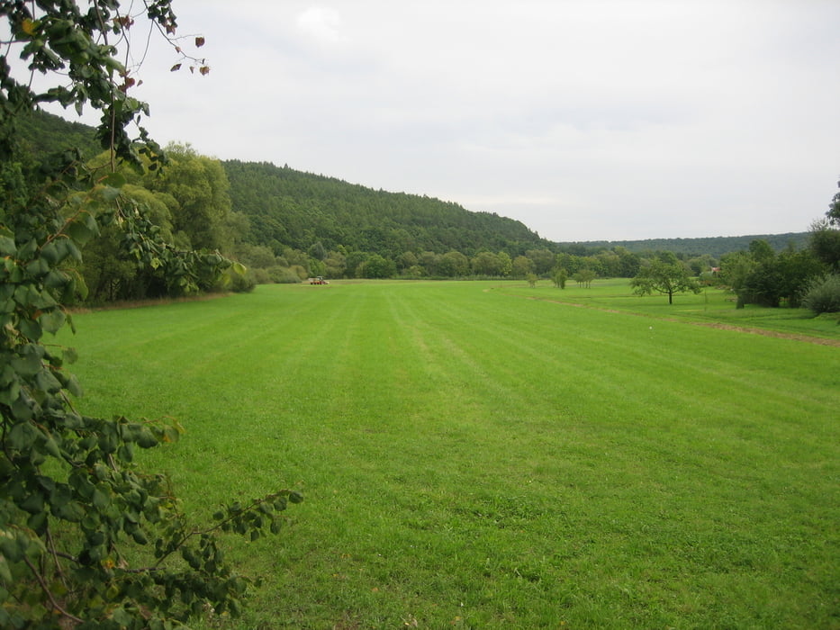
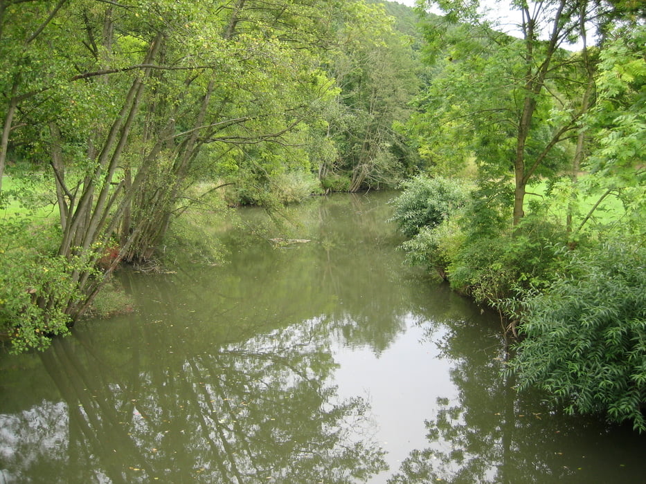
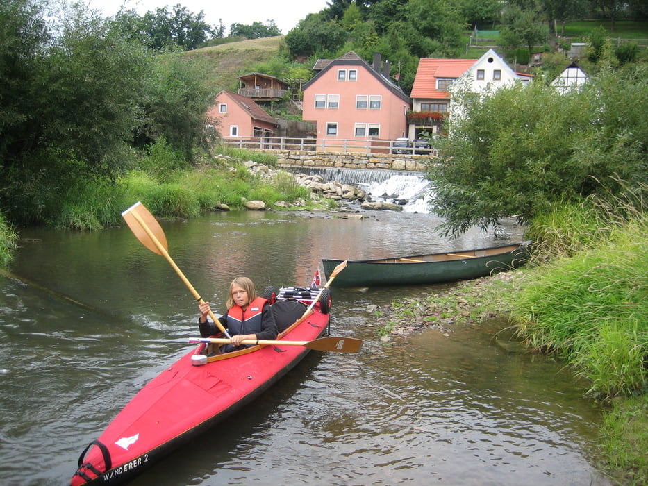
Die Fränkische Saale fließt zumeist in südwestlicher Richtung entlang des Südostrands der Rhön. Ein Fluss, der auch von Anfängern in Verleihkanus befahren wird. Unter einem Pegel von 160 cm sollte auf der Saale in diesem Abschnitt nicht gepaddelt werden.

Pegel Salz 


Weitere Touren auf der Fränkischen Saale:

Further information at

http://de.wikipedia.org/wiki/Fränkische_Saale

galéria trás

Mapa trasy a výškový profil

  • Open Street Map
  • Google
Minimum height 217 m Maximum height 229 m Detailný pohľad

More about the tour author

riemchens
Member since 2009

Send private message

komentáre

Die Einstiegstelle liegt direkt bei Bad Neustadt an der Bundesstrasse. Es ist die früheste Einstiegstelle auf der Saale, oberhalb der Brücke ist die Befahrung der Saale verboten.

GPS trasy

Trackpoints
  • GPX / Garmin Map Source (gpx) download
  • TCX / Garmin Training Center® (tcx) download
  • CRS / Garmin Training Center® (crs) download
  • Google Earth (kml) download
  • G7ToWin (g7t) download
  • TTQV (trk) download
  • Overlay (ovl) download
  • Fugawi (txt) download
  • Kompass (DAV) Track (tk) download
  • list trasy (pdf) download
  • Original file of the author (gpx) download

More about the tour author

riemchens
Member since 2009

Send private message
Share track
Add to my favorites
Remove from my favorites
Edit tags
My score
Rate
trasa: Fränkische Saale - Bad Neustadt bis Roth
Druh: Lodné a kanoe
Dĺžka: 12,5 km
Evaluated on:
Doba:
Day(s)
Hour(s)
Minute(s)
ohodnotenie: Kraj pôžitok z túry kondícia technika