Login

Zabudli ste prihlasovacia meno

Cookies have to be accepted!
Your browser's cookie functionality is disabled. Please enable this functionality.

Not a member yet?

Register now
Login

Available for registred users only

Log in to use this feature.

Zabudli ste prihlasovacia meno

Cookies have to be accepted!
Your browser's cookie functionality is disabled. Please enable this functionality.

Not a member yet?

Register now
Filter
Kategórie
Advanced filters
  • Dĺžka (km)
  • výškomer
Uložiť filter Reset filter

TrackRank

QRCode

Technical data

Dĺžka5,7 km výškomer180 m Way down174 m Doba03:00 h:m dátum22.10.2009
ohodnotenia Author Kraj pôžitok z túry kondícia technika

štatistika

1486 náhľady ohodnotenia 34 Stiahnutia priemer
Rate
  • list trasy
  • príjazd
  • Stiahnutia

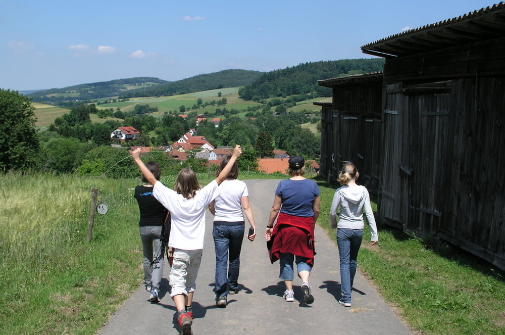
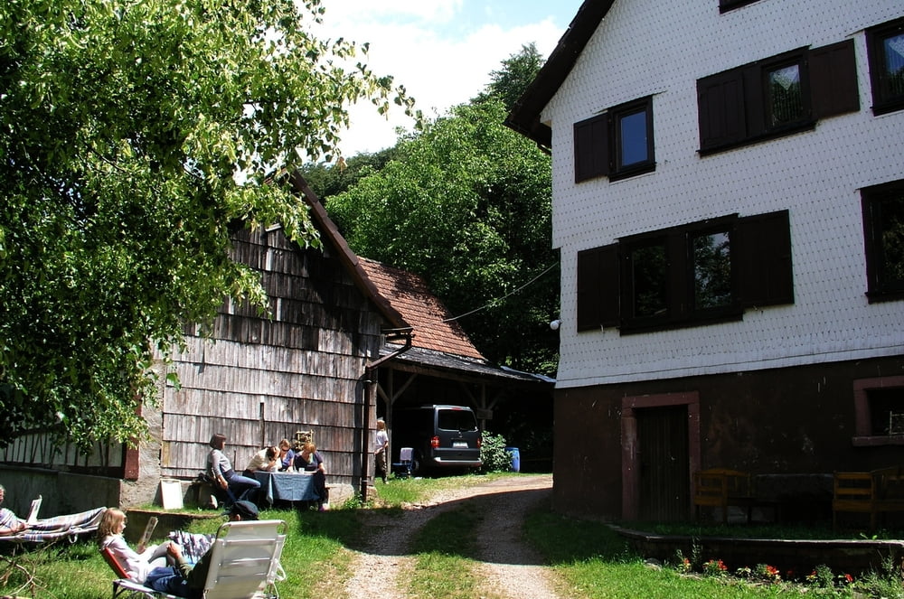
Kleine Rundwanderung von der Stickelmühle in Unter Ostern bis zur Irrbachquelle und zurück - schöner Ausflug!

(Haftungsausschluss: siehe Nutzungsbestimmungen)

Further information at

http://de.wikipedia.org/wiki/Reichelsheim_%28Odenwald%29

galéria trás

Mapa trasy a výškový profil

  • Open Street Map
  • Google
Minimum height 222 m Maximum height 378 m Detailný pohľad

More about the tour author

riemchens
Member since 2009

Send private message

komentáre

Von Reichelsheim auf der B38 nach Osten fahren und nach ca. 2 km rechts auf die L3105 in Richtung Unter-Ostern. Ca. 500m hinter Unter-Ostern geht es rechts ab zur Stickelmühle (ausgeschildert).

GPS trasy

Trackpoints
  • GPX / Garmin Map Source (gpx) download
  • TCX / Garmin Training Center® (tcx) download
  • CRS / Garmin Training Center® (crs) download
  • Google Earth (kml) download
  • G7ToWin (g7t) download
  • TTQV (trk) download
  • Overlay (ovl) download
  • Fugawi (txt) download
  • Kompass (DAV) Track (tk) download
  • list trasy (pdf) download
  • Original file of the author (gpx) download

More about the tour author

riemchens
Member since 2009

Send private message
Share track
Add to my favorites
Remove from my favorites
Edit tags
My score
Rate
trasa: Odenwald Irrbachquelle
Druh: trasa
Dĺžka: 5,7 km
Evaluated on:
Doba:
Day(s)
Hour(s)
Minute(s)
ohodnotenie: Kraj pôžitok z túry kondícia technika