


Along the river Loire from Orléans in the east to Nantes in the west.
The tour mostly follows the "Loire à Velo" cycleway with some detours at which we found some "offroad tracks" nicer or where we wanted to reach a B&B or castles not directly on the route itself.
The gps-track itself is not required on your GPS equipment during the ride, but it supports the planning and helps if you want to find back to the "Loire à Velo" track after visiting something some kilometers aside of the Loire itself.
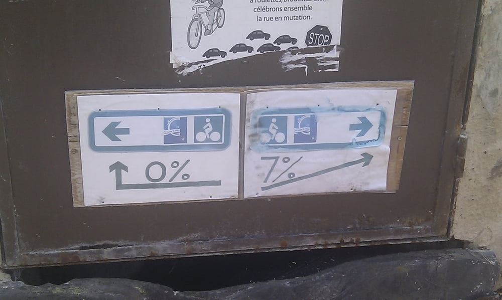
The complete path is very well equiped with signs and even if we found three (on about 600 km!) crossings without a sign the old rule "no sign means straight ahead" always helps.
The path is overall flat and easy to ride - except one uphill of 18% (!), which is a single exception.
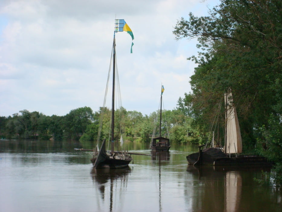
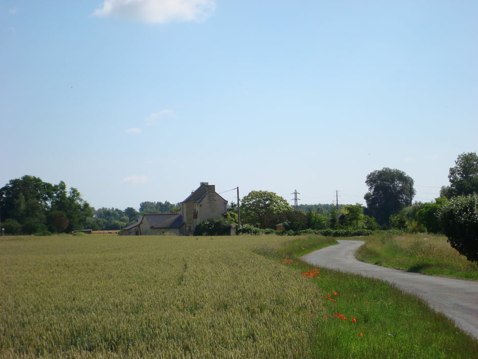
The landscape is awesome due to the fact that the French build a train along the river in the mid 1800s which "killed" the shipping on the Loire and mostly avoided the destruction of the bed of the Loire - okay, they build their first nuclear power plant at the Loire, but everybody is allowed to do mistakes ... ;o)
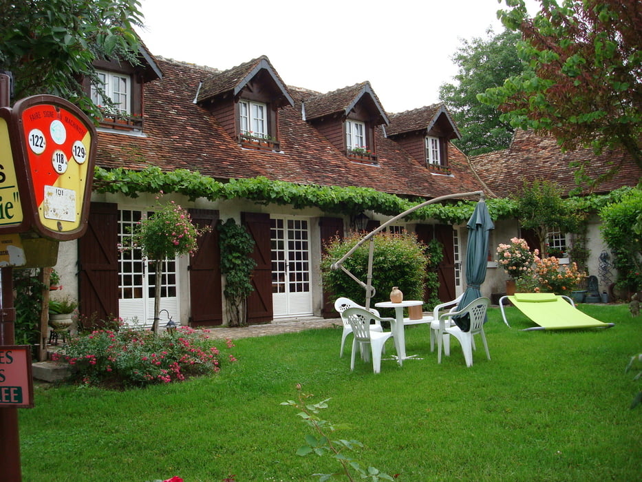
I recommend to stay in B&B (French: chambre d`hôte) which connects you to the people and gives you insights. Some of them offer also "table d`hôte" which means you can eat with them in the evening.
galéria trás
Mapa trasy a výškový profil
Minimum height -31 m
Maximum height 133 m
More about the tour author

|
BIBOBerlin |
komentáre

More about the tour author
|
|
BIBOBerlin |
Add to my favorites
Remove from my favorites
Edit tags
Open track


My score
Rate