


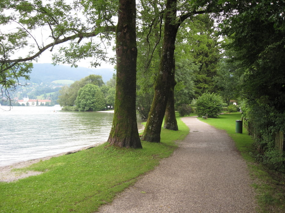
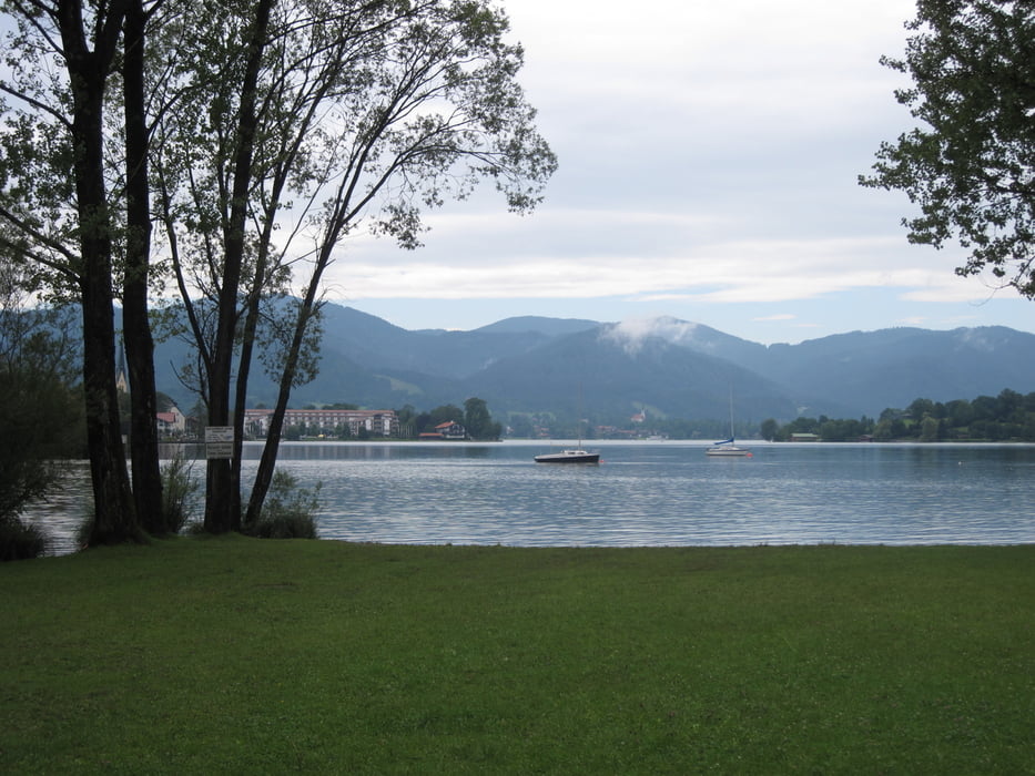
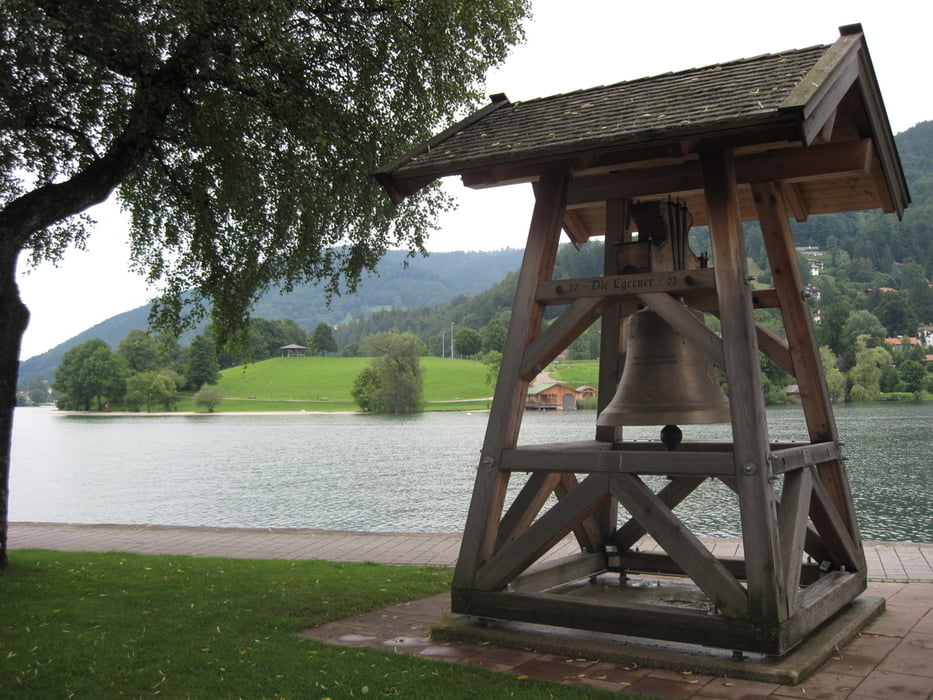
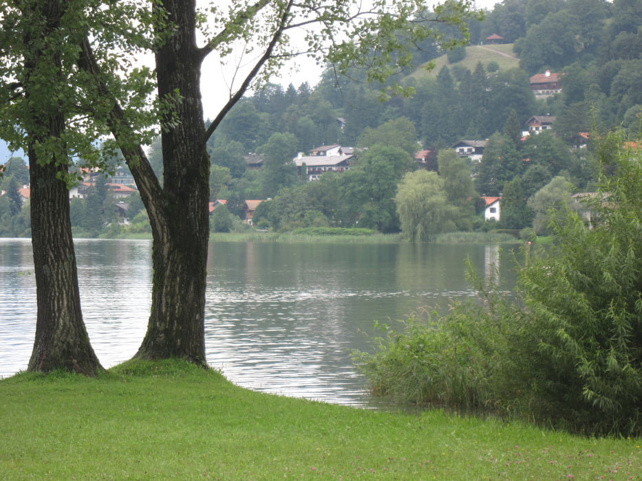
Schöne Rundtour um den Tegernsee. Tourstart und -ende war in Gmund am Tegernsee. Von hieraus ging es auf Fahrradwegen westlich um den See herum. Auf der gesamten Tour hatte ich immer wieder schöne Ausblicke auf den Tegernsee. Einen Stopp kann mann gut in Tegernsee selbst am berühmten Braustüberl einlegen.
In Teegernsee fuhr ich dann weiter bis zum Bahnhof und ab hier hinauf zum Tegernseer Höhenweg. Dieser darf mit dem Fahrrad nicht befahren werden. Es lohnt sich aber trotzdem hinaufzufahren und sein Rad bis kurz vor Gmund über den Höhneweg zu schieben. (Höhenweg siehe Waypoints).
Further information at
http://www.tegernsee.com/galéria trás
Mapa trasy a výškový profil
Minimum height 731 m
Maximum height 817 m
More about the tour author
|
|
riemchens |
komentáre

Von München auf der Autobahn nach Salzburg und bei der Abfahrt Holzkirchen nach Gmund am Tegernsee.
GPS trasy
Trackpoints-
GPX / Garmin Map Source (gpx) download
-
TCX / Garmin Training Center® (tcx) download
-
CRS / Garmin Training Center® (crs) download
-
Google Earth (kml) download
-
G7ToWin (g7t) download
-
TTQV (trk) download
-
Overlay (ovl) download
-
Fugawi (txt) download
-
Kompass (DAV) Track (tk) download
-
list trasy (pdf) download
-
Original file of the author (gpx) download
More about the tour author
|
|
riemchens |
Add to my favorites
Remove from my favorites
Edit tags
Open track
My score
Rate