Login

Elfelejtetted a jelszód?

Cookies have to be accepted!
Your browser's cookie functionality is disabled. Please enable this functionality.

Not a member yet?

Register now
Login

Available for registred users only

Log in to use this feature.

Elfelejtetted a jelszód?

Cookies have to be accepted!
Your browser's cookie functionality is disabled. Please enable this functionality.

Not a member yet?

Register now
Filter
Kategóriák
Advanced filters
  • Hosszúság (km)
  • Szintkülönbség
Szűrő elmentése Reset filter

TrackRank

QRCode

Technical data

Hosszúság7,7 km Szintkülönbség724 m Way down721 m Tartam00:00 h:m Dátum07.10.2012
Értékelések Author Vidék Szórakozás Kondíció Technika

Statisztika

8057 Views Értékelések 266 Letöltések átlag
Rate
  • Túralap
  • Megközelítés
  • Letöltések

Schöne Bergwanderung, welche auch so ähnlich im Rother-Wanderführer beschrieben ist.

Allerdings haben wir diese Tour etwas abgekürzt.

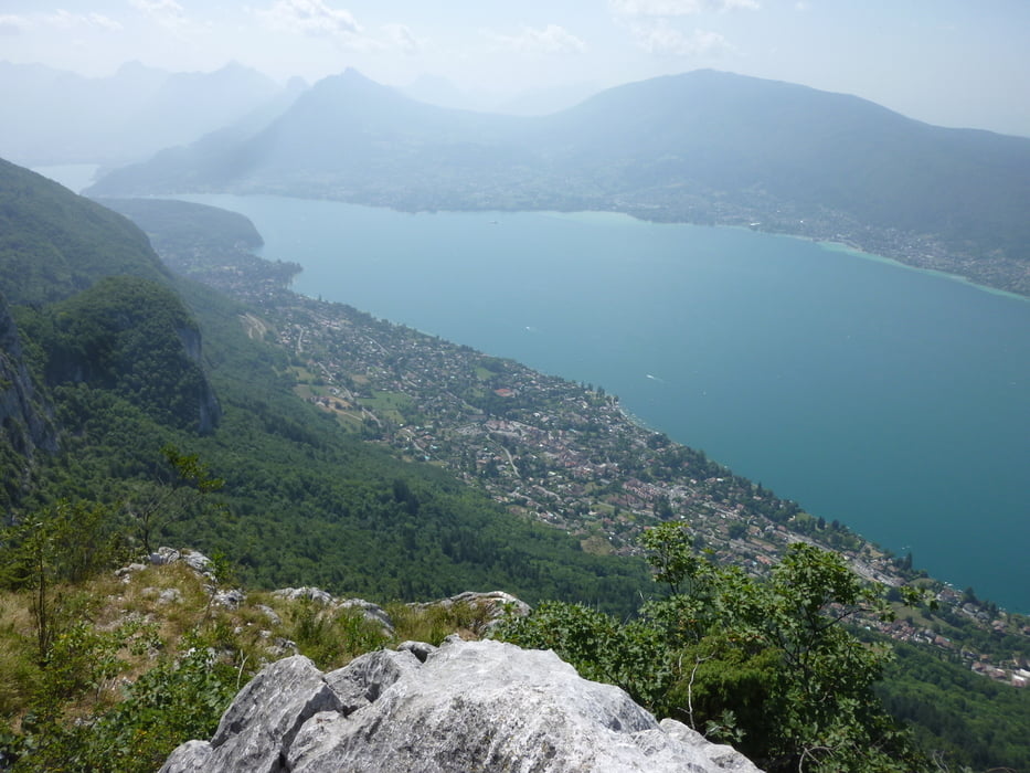
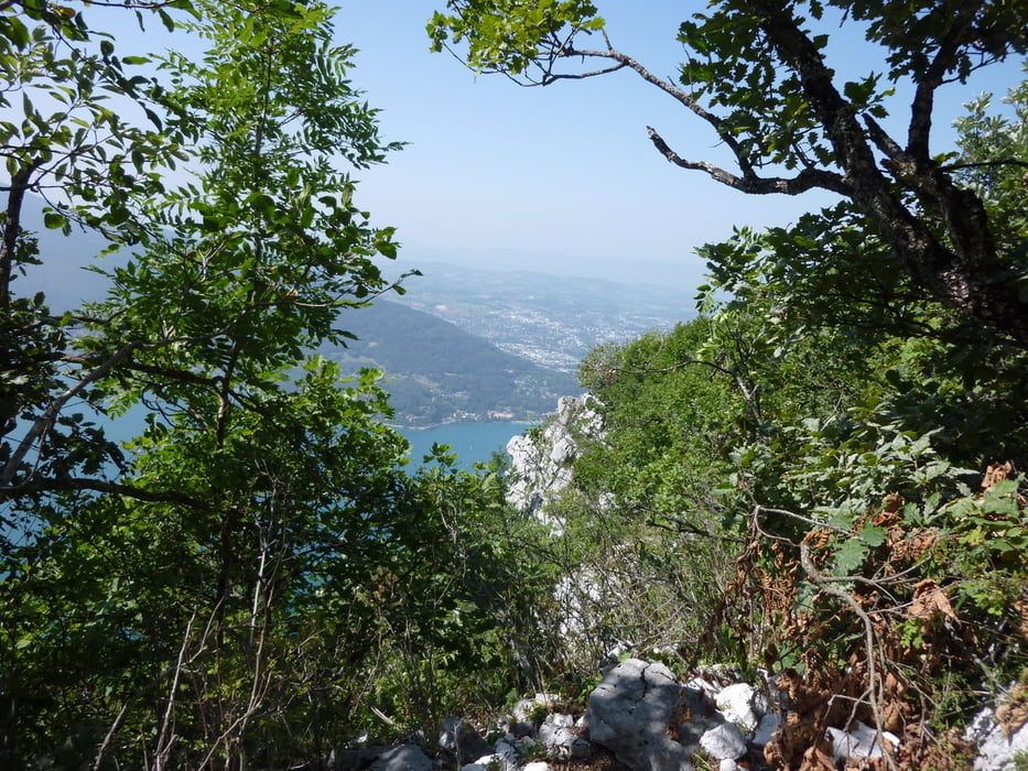
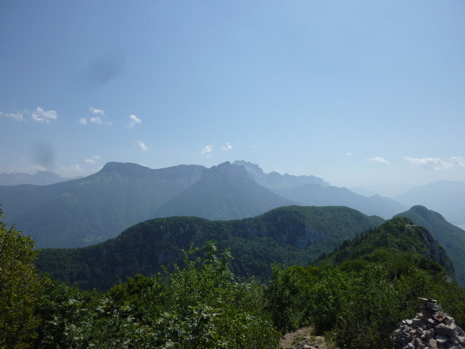
Auf dem Höherkamm hat man eine herrliche Aussicht über die gesamte Region.


Absolut zu empfehlen.


Viel Spass


Further information at

http://www.rother.de/titpage/4321.php

Túra fotóalbuma

Túratérkép és magasságprofil

  • Open Street Map
  • Google
Minimum height 562 m Maximum height 1298 m Részletes nézet

More about the tour author

Tom19
Member since 2008

Send private message

Megjegyzések

siehe Daten.


Achtung: Parkmöglichkeit für nur wenige Autos.


GPS trackek

Trackpoints
  • GPX / Garmin Map Source (gpx) download
  • TCX / Garmin Training Center® (tcx) download
  • CRS / Garmin Training Center® (crs) download
  • Google Earth (kml) download
  • G7ToWin (g7t) download
  • TTQV (trk) download
  • Overlay (ovl) download
  • Fugawi (txt) download
  • Kompass (DAV) Track (tk) download
  • Túralap (pdf) download
  • Original file of the author (gpx) download

More about the tour author

Tom19
Member since 2008

Send private message
Share track
Add to my favorites
Remove from my favorites
Edit tags
My score
Rate
Túra: Wandern am Lac d´Annecy - Mont Veyrier / Mont Baron
jelleg: Gyalogtúrázás
Hosszúság: 7,7 km
Evaluated on:
Tartam:
Day(s)
Hour(s)
Minute(s)
Értékelés: Vidék Szórakozás Kondíció Technika