


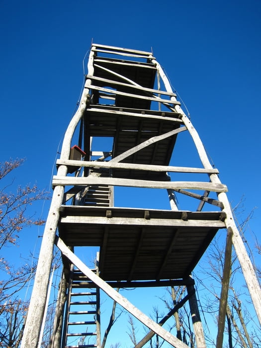
Dal piccolo parcheggio in località Cenc, si segue la stradina che sale a nord, subito le segnalazioni dell'itinerario che proseguono sempre abbastanza evidenti sino all'alta vedetta posta in cima al Spicasti vrh 1128 mt. Per il ritorno ho optato per un itinerario non segnato ma abbastanza intuibile.
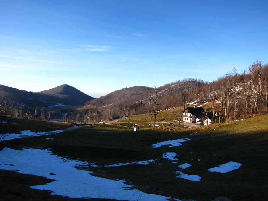
Per la salita allo Spiceck o Speck 986 mt., si segue lungamente la strada, sempre segnata sino ad un bivio che porta alla panoramica cima. Anche qua ho approfittato per inventarmi un ritorno alternativo, attraverando tutta la cresta. Attenzione che diventa molto difficoltosa calzando le cjaspe.
Túra fotóalbuma

Túratérkép és magasságprofil
Minimum height 843 m
Maximum height 1150 m
More about the tour author
|
|
sioni |
Megjegyzések

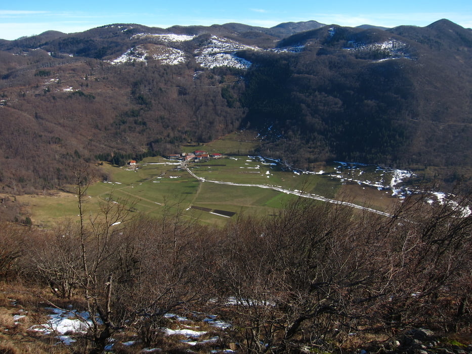
Dal centro di Ajdussina si seguono le indicazioni per Idrjia-Godovic. Attraversando poi il paesino di Cal si arriva in località Cenc. Se tanta neve si puo parcheggiare nella vicina gostilna.
GPS trackek
Trackpoints-
GPX / Garmin Map Source (gpx) download
-
TCX / Garmin Training Center® (tcx) download
-
CRS / Garmin Training Center® (crs) download
-
Google Earth (kml) download
-
G7ToWin (g7t) download
-
TTQV (trk) download
-
Overlay (ovl) download
-
Fugawi (txt) download
-
Kompass (DAV) Track (tk) download
-
Túralap (pdf) download
-
Original file of the author (gpx) download
More about the tour author
|
|
sioni |
Add to my favorites
Remove from my favorites
Edit tags
Open track
My score
Rate