Login

Elfelejtetted a jelszód?

Cookies have to be accepted!
Your browser's cookie functionality is disabled. Please enable this functionality.

Not a member yet?

Register now
Login

Available for registred users only

Log in to use this feature.

Elfelejtetted a jelszód?

Cookies have to be accepted!
Your browser's cookie functionality is disabled. Please enable this functionality.

Not a member yet?

Register now
Filter
Kategóriák
Advanced filters
  • Hosszúság (km)
  • Szintkülönbség
Szűrő elmentése Reset filter

TrackRank

QRCode

Technical data

Hosszúság12,7 km Szintkülönbség373 m Way down380 m Tartam02:14 h:m Dátum24.06.2018
Értékelések Author Vidék Szórakozás Kondíció Technika

Statisztika

931 Views Értékelések 10 Letöltések átlag
Rate
  • Túralap
  • Megközelítés
  • Letöltések
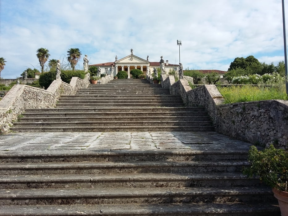
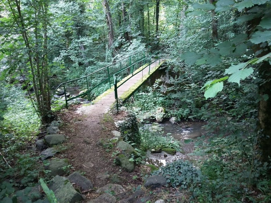
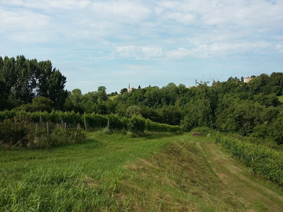
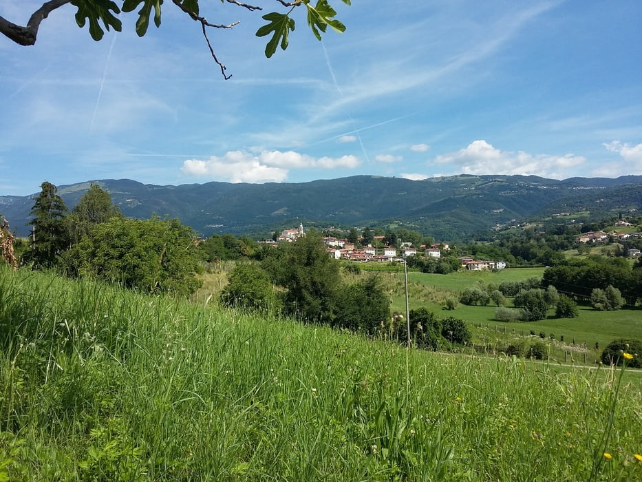
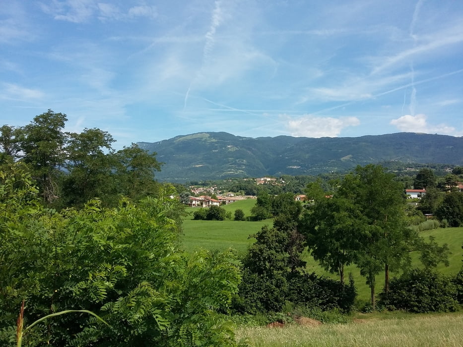
Eccellente marcia nella Pedemontana Vicentina. Percorso misto collinare su terreno quasi completamente sterrato e nel sottobosco.

Further information at

http://www.comune.faravicentino.vi.it/web/faravicentino

Túra fotóalbuma

Túratérkép és magasságprofil

  • Open Street Map
  • Google
Minimum height 120 m Maximum height 261 m Részletes nézet

More about the tour author

agosflavio
Member since 2013

Send private message

Megjegyzések

GPS trackek

Trackpoints
  • GPX / Garmin Map Source (gpx) download
  • TCX / Garmin Training Center® (tcx) download
  • CRS / Garmin Training Center® (crs) download
  • Google Earth (kml) download
  • G7ToWin (g7t) download
  • TTQV (trk) download
  • Overlay (ovl) download
  • Fugawi (txt) download
  • Kompass (DAV) Track (tk) download
  • Túralap (pdf) download
  • Original file of the author (gpx) download

More about the tour author

agosflavio
Member since 2013

Send private message
Share track
Add to my favorites
Remove from my favorites
Edit tags
My score
Rate
Túra: Marcia Sentieri e Valli di Fara Vicentino
jelleg: Hegyi túra
Hosszúság: 12,7 km
Evaluated on:
Tartam:
Day(s)
Hour(s)
Minute(s)
Értékelés: Vidék Szórakozás Kondíció Technika