
Login

Elfelejtetted a jelszód?

Cookies have to be accepted!
Your browser's cookie functionality is disabled. Please enable this functionality.

Not a member yet?

Register now
Login

Available for registred users only

Log in to use this feature.

Elfelejtetted a jelszód?

Cookies have to be accepted!
Your browser's cookie functionality is disabled. Please enable this functionality.

Not a member yet?

Register now
Filter
Kategóriák
Advanced filters
  • Hosszúság (km)
  • Szintkülönbség
Szűrő elmentése Reset filter

TrackRank

QRCode

Technical data

Hosszúság7,3 km Szintkülönbség225 m Way down237 m Tartam04:23 h:m Dátum07.10.2018
Értékelések Author Vidék Szórakozás Kondíció Technika

Statisztika

549 Views Értékelések 35 Letöltések átlag
Rate
  • Túralap
  • Megközelítés
  • Letöltések

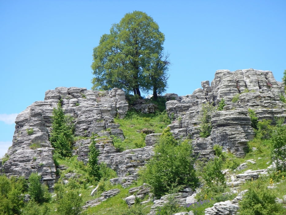
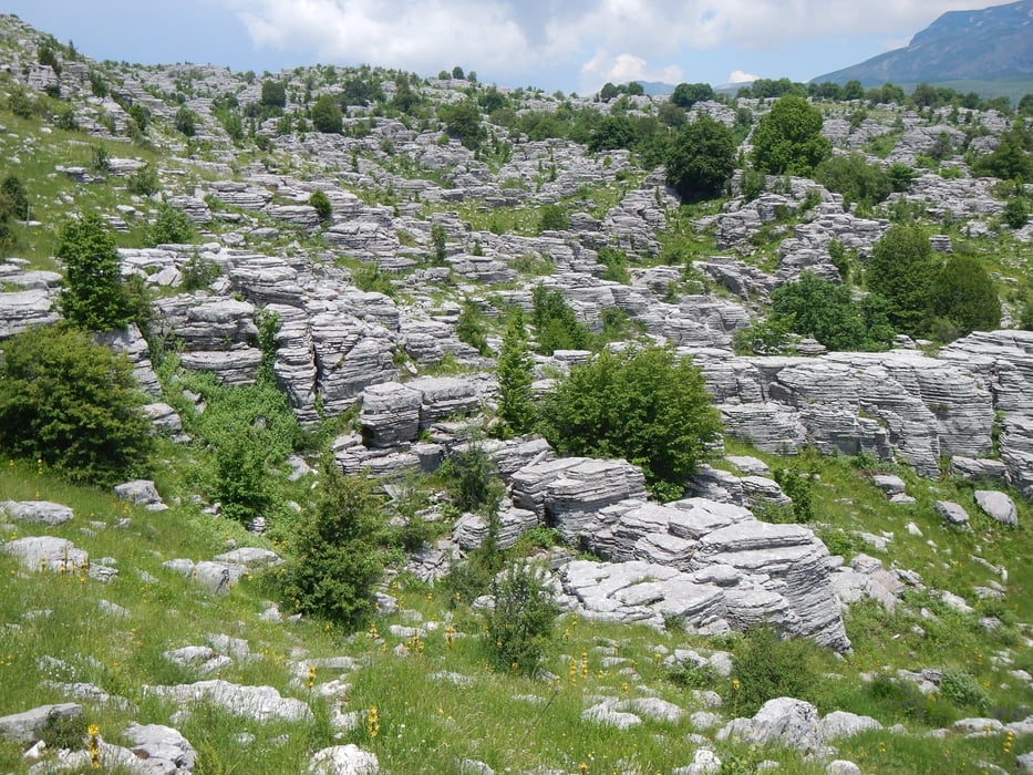
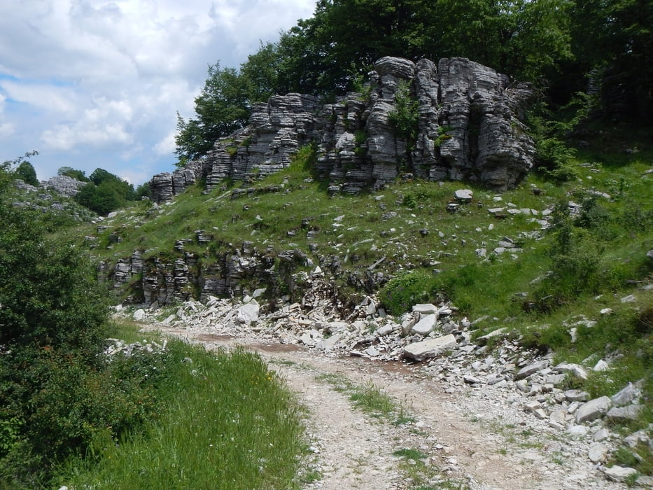
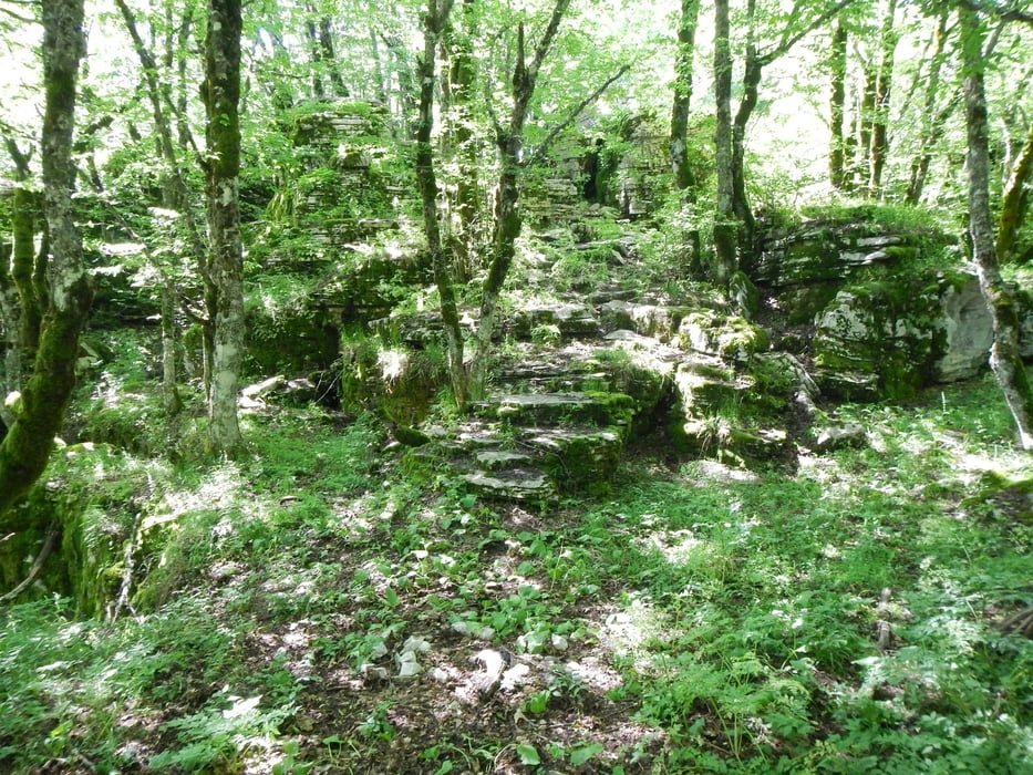
Near the parking place, there starts the trail to the Stouros flat.
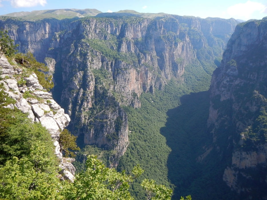
Sometimes the red trail marks are hard to find. If you don’t have a GPS with this track to follow the trail, be careful! There are some gaps in the rocks, and cliffs to the gorge.

From the start to point K1 the trail is signed. From K1 to the trail end, it is not signed.
After the trail end you follow a dust road 2.7km, and the last 900m the paved road.

Túra fotóalbuma
Túratérkép és magasságprofil

  • Open Street Map
  • Google
Minimum height 1296 m Maximum height 1495 m Részletes nézet

More about the tour author

Mapdekode
Member since 2008

Send private message

Megjegyzések

More about the tour author

Mapdekode
Member since 2008

Send private message
Share track
Add to my favorites
Remove from my favorites
Edit tags
My score
Rate
Túra: Greece, Zagori, Stouros flat
jelleg: Gyalogtúrázás
Hosszúság: 7,3 km
Evaluated on:
Tartam:
Day(s)
Hour(s)
Minute(s)
Értékelés: Vidék Szórakozás Kondíció Technika