
")

Start and end point of the tour is the HÉV suburban railway sation of Szentendre.
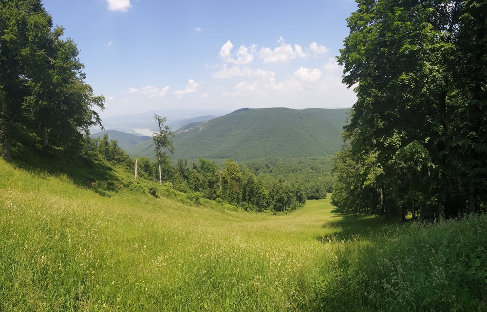
From Szentendre following to 80-90% the hiking trail with yellow stripe sign to Dobogókő mountain (700m)
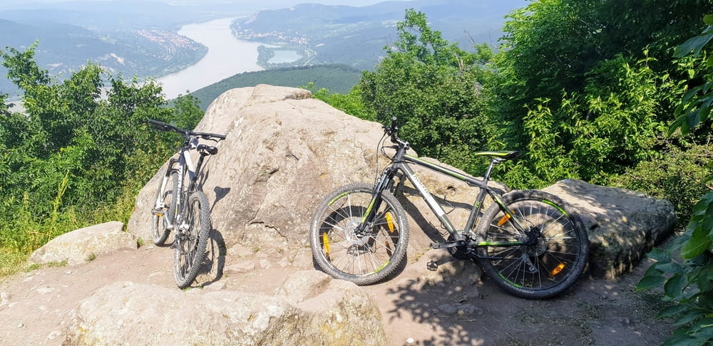
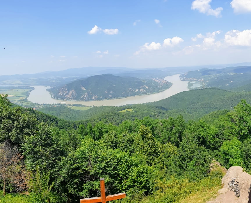
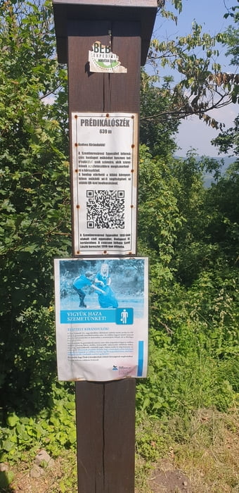
From Dobogókő following to 80-90% the hiking trail with red triangle sign to Prédikálószék mountain (great view on the Danube knee at Visegrád).
From Prédikálószék following the hiking trail with red cross sign to Pilisszentlászló.
From there a short ride on country road and then on paved bicycle road to Szentendre.
We (my 15 year old son and me (56 year old) rented two hardtail mountain bikes at Dynamobike in Budapest. We are both experienced mountainbikers. We do not recommend the tour for novices. (Difficulty is S0 to S2 very easy to intermediate with S2 difficulty only at 5-10% of the route)
Use of a GPS device is highly recommended. (Garmin etrex 30 or similar)
Wildlife: We saw many birds and one wild boar during our tour.
Eat & drink:
Kőhegyi-tó mountain lake (Czibulka János Kőhegyi Menedékház Restaurant) Lajos-forrás (fountain - potable water) Dobogókő(Báró Eötvös Loránd Menedékház & other restaurants) Pilisszentlászló(Kis Rigó Vendéglő Restaurant) Szentendre(many
Túra fotóalbuma
Túratérkép és magasságprofil
Minimum height 98 m
Maximum height 708 m
More about the tour author
|
|
Pjotrek |
Megjegyzések

Suburban train HÉV 5 from Budapest Battányi tér to Szentendre. Separate ticket for bicycle needed. Also Budapest travel cards are not valid till Szentendre => you need to buy additional tickets. Tickets can be bought at Batthányi tér.
Or by car, parking in Szentendre.
GPS trackek
Trackpoints-
GPX / Garmin Map Source (gpx) download
-
TCX / Garmin Training Center® (tcx) download
-
CRS / Garmin Training Center® (crs) download
-
Google Earth (kml) download
-
G7ToWin (g7t) download
-
TTQV (trk) download
-
Overlay (ovl) download
-
Fugawi (txt) download
-
Kompass (DAV) Track (tk) download
-
Túralap (pdf) download
-
Original file of the author (gpx) download
More about the tour author
|
|
Pjotrek |
Add to my favorites
Remove from my favorites
Edit tags
Open track
My score
Rate