
Login

Elfelejtetted a jelszód?

Cookies have to be accepted!
Your browser's cookie functionality is disabled. Please enable this functionality.

Not a member yet?

Register now
Login

Available for registred users only

Log in to use this feature.

Elfelejtetted a jelszód?

Cookies have to be accepted!
Your browser's cookie functionality is disabled. Please enable this functionality.

Not a member yet?

Register now
Filter
Kategóriák
Advanced filters
  • Hosszúság (km)
  • Szintkülönbség
Szűrő elmentése Reset filter

TrackRank

QRCode

Technical data

Hosszúság73,9 km Szintkülönbség1217 m Way down1204 m Tartam20:00 h:m Dátum25.07.2007
Értékelések Author Vidék Szórakozás Kondíció Technika

Statisztika

4799 Views Értékelések 382 Letöltések átlag
Rate
  • Túralap
  • Megközelítés
  • Letöltések
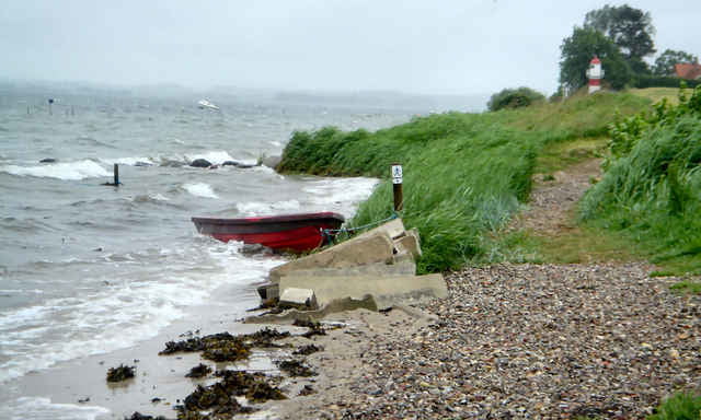
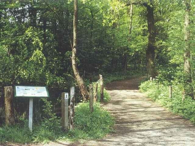
Gendarmstien is based on an old border patrol path that was used from 1920-1958. The trail begins in Padborg near the German/Danish border and ends in a small village on the island Als. The trail runs along the coast of southeastern Jutland and southern Als, but in some areas it swings into the countryside. It may be an advantage to study the Danish border history due to the many historical references along the trail, but the trail can also be enjoyed solely on its varied landscape and scenic views.
A 48 page leaflet with good maps is available from the tourist offices.

Further information at

http://www.sydjylland.com/index.lasso?page=324X4640

Túra fotóalbuma

Túratérkép és magasságprofil

  • Open Street Map
  • Google
Minimum height -49 m Maximum height 79 m Részletes nézet

More about the tour author

sba
Member since 2007

Send private message

Megjegyzések

More about the tour author

sba
Member since 2007

Send private message
Share track
Add to my favorites
Remove from my favorites
Edit tags
My score
Rate
Túra: Gendarmstien
jelleg: Gyalogtúrázás
Hosszúság: 73,9 km
Evaluated on:
Tartam:
Day(s)
Hour(s)
Minute(s)
Értékelés: Vidék Szórakozás Kondíció Technika