
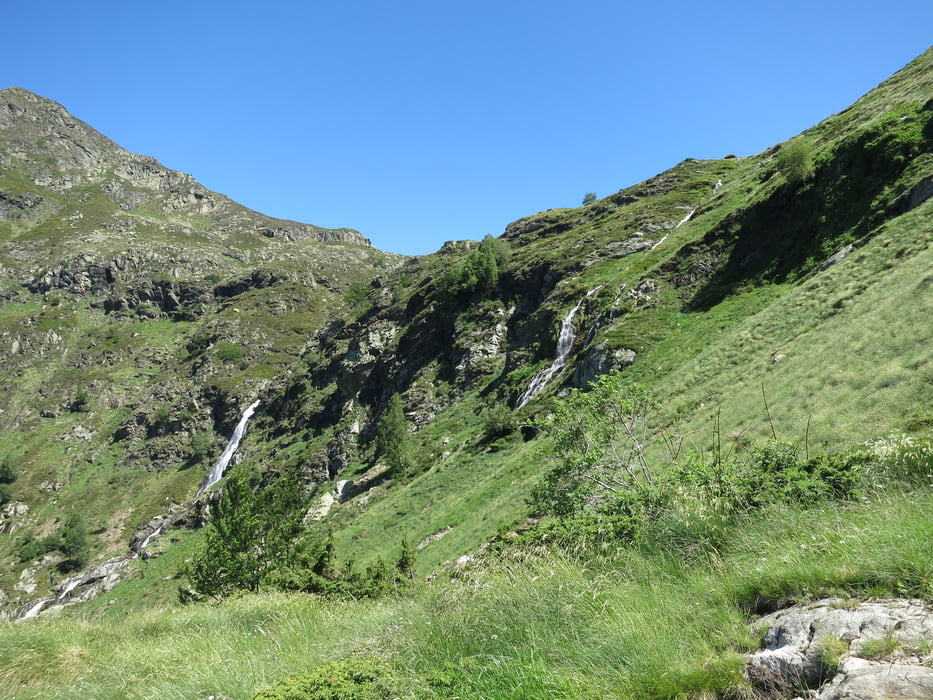

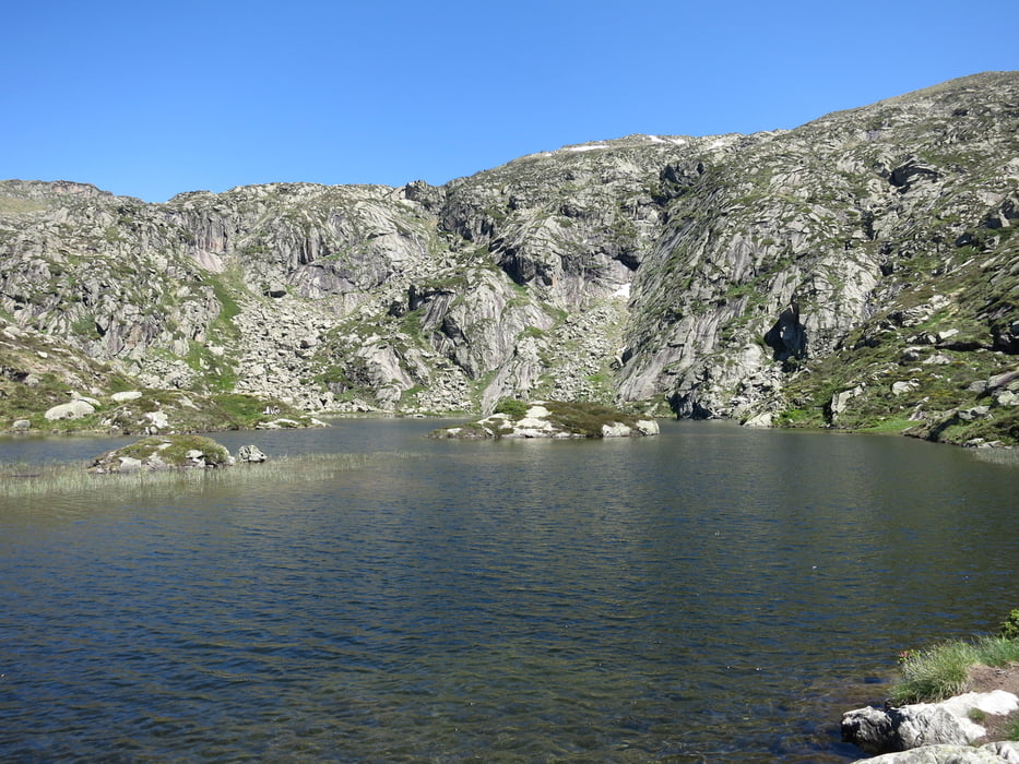
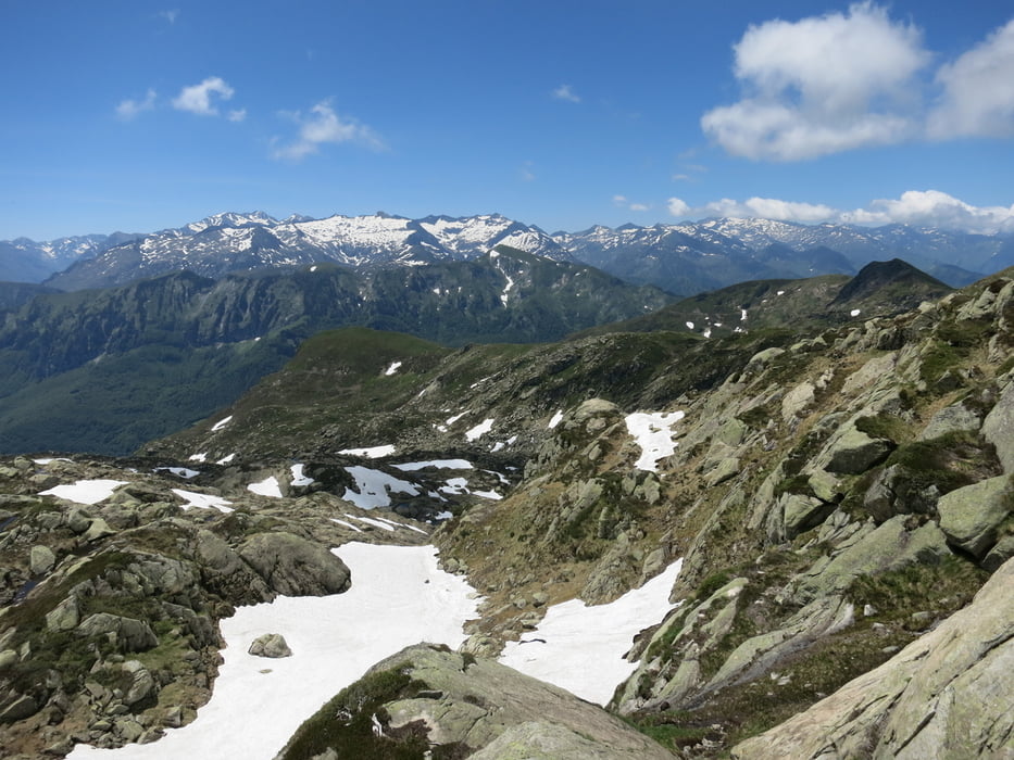
The tour starts with a nice path next to waterfalls and beautiful nature up to a little lake. Then the hike becomes more difficult and a little rock climbing (but still hiking!) is necessary. The ascend to the peak is the most difficult, but fun, part. The descend is easier because it makes a loop along the mountains ridge and down on an easy path. Overall a very nice hike that contains many different aspects of hiking (beauty, rocks, climbing, lake, waterfalls, cool peak).
Galleria itinerari
Mappa itinerario e altimetria
Altezza minima 1364 m
Altezza massima 2174 m
Maggiori informazioni sull'autore del tour

|
lonest4r |
Commenti

Tracce GPS
Punti di traccia-
GPX / Garmin Map Source (gpx) download
-
TCX / Garmin Training Center® (tcx) download
-
CRS / Garmin Training Center® (crs) download
-
Google Earth (kml) download
-
G7ToWin (g7t) download
-
TTQV (trk) download
-
Overlay (ovl) download
-
Fugawi (txt) download
-
Kompass (DAV) Track (tk) download
-
Scheda tecnica (pdf) download
-
File originale dell'autore (gpx) download
Maggiori informazioni sull'autore del tour
|
|
lonest4r |
Aggiungi ai miei preferiti
Rimuovi dai miei preferiti
Modifica dei tag
Tour aperto
Il mio voto
Vota