
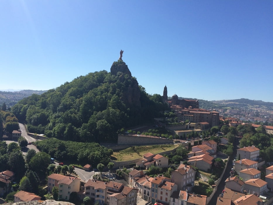

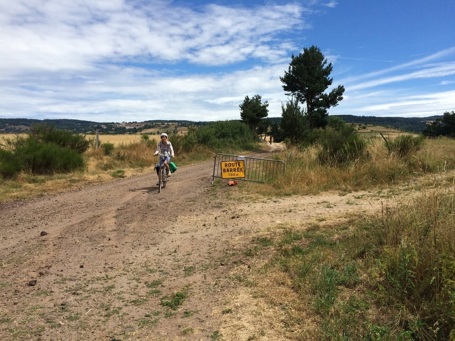
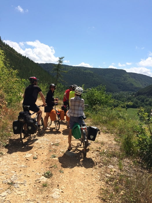
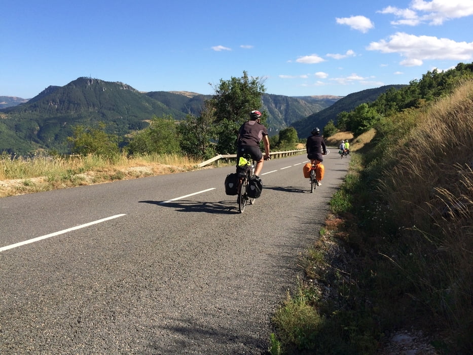
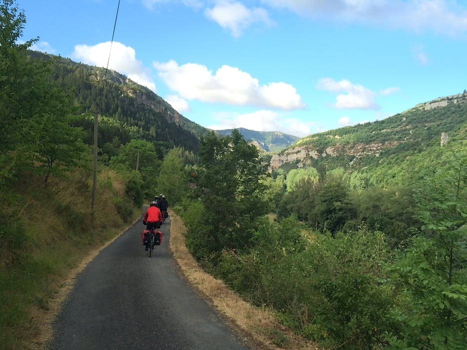
This trip leads from Le-Puy-en-Velay in the Département Haute-Loire over Mende in the Département Lozère to Millau in the Département of Aveyron. It passes through the valleys of the Loire, Lot, L'Allier and the Tarn. The last part of the route is in the spectacular Gorges du Tarn, with magnificent views and beutiful villages. More than 60% of the route consists of low traffic paved roads, about 20% of two-lane paved roads with somewhat more dense traffic (in particular in the Gorges du Tarn), and about 20% of gravel roads, most of which are in good condition for riding a bicycle (some parts of the travel roads are a bit bumpy, but doable). The route is 230 km in total.
Galleria itinerari
Mappa itinerario e altimetria
Altezza minima 279 m
Altezza massima 1433 m
Maggiori informazioni sull'autore del tour

|
WillemBroekaert |
Commenti

Tracce GPS
Punti di traccia-
GPX / Garmin Map Source (gpx) download
-
TCX / Garmin Training Center® (tcx) download
-
CRS / Garmin Training Center® (crs) download
-
Google Earth (kml) download
-
G7ToWin (g7t) download
-
TTQV (trk) download
-
Overlay (ovl) download
-
Fugawi (txt) download
-
Kompass (DAV) Track (tk) download
-
Scheda tecnica (pdf) download
-
File originale dell'autore (gpx) download
Maggiori informazioni sull'autore del tour
|
|
WillemBroekaert |
Aggiungi ai miei preferiti
Rimuovi dai miei preferiti
Modifica dei tag
Tour aperto
Il mio voto
Vota