


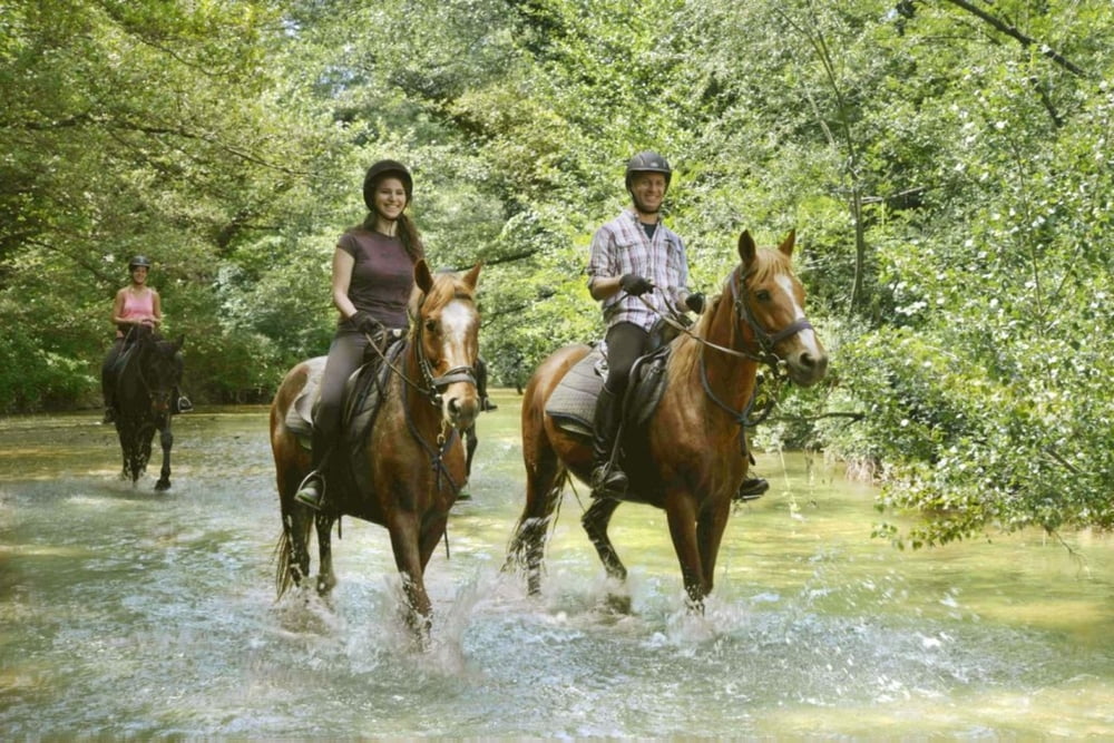
The 2 day trail ride starts in Montieri, in the province of Grosseto. The trail leads to the medieval village of Gerfalco and to the former silver mines of Gerfalco, where we recommend a rest. There is a particular nice view until the coast of all Maremma Tuscany. The ride continues downhill into a remote valley. A steep uphill will leads to the public farm Filetto, where the famous white Maremma cattle with their impressive long horns are breeded.
On the next day you will ride through chestnut woods and enjoy the complete silence of this region. This horseback trail in Tuscany is suitable for fit horses, that are used also to difficult terrains. The Trail Riding Center Rifugio Prategiano is an ideal starting point for this adventure.
Ulteriori informazioni sotto
http://www.hotel-toscana-tuscany.com/horseback_tuscany.htmlGalleria itinerari
Mappa itinerario e altimetria
Altezza minima 382 m
Altezza massima 858 m
Maggiori informazioni sull'autore del tour

|
Rena |
Commenti

DRIVING TO MONTIERI
from Florence
If you come from Bologna, take the new highway “Variante1” between Bologna and Florence . Surround Florence direction Roma/Siena and take the exit „Impruneta“, then take the fast road direction Siena, after driving for 30 minutes take the exit Colle Val D’ Elsa Sud
Drive straight ahead on 3 circles direction Radicondoli. next crossing right direction Radicondoli/ Follonica. Leave the main road 10 km after Colle Val D‘Elsa, right direction Radicondoli/ Grosseto, climb up following the indicators Massa Marritima until 1 km before Montieri, turn right direction Massa Marittima, after 500 m left direction, after 50 m turn left to the stables Prategiano.
GPS: N 43°08,02' / E 11°00,41'
Tracce GPS
Punti di traccia-
GPX / Garmin Map Source (gpx) download
-
TCX / Garmin Training Center® (tcx) download
-
CRS / Garmin Training Center® (crs) download
-
Google Earth (kml) download
-
G7ToWin (g7t) download
-
TTQV (trk) download
-
Overlay (ovl) download
-
Fugawi (txt) download
-
Kompass (DAV) Track (tk) download
-
Scheda tecnica (pdf) download
-
File originale dell'autore (gpx) download
Maggiori informazioni sull'autore del tour
|
|
Rena |
Aggiungi ai miei preferiti
Rimuovi dai miei preferiti
Modifica dei tag
Tour aperto
Il mio voto
Vota