


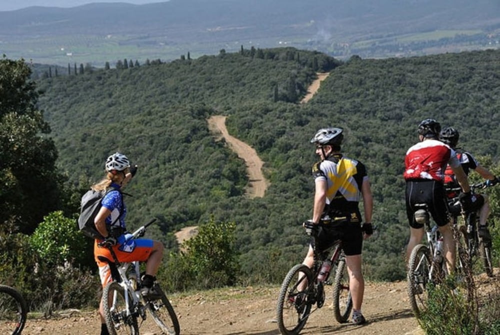
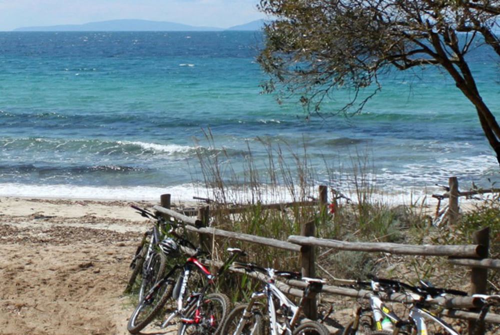
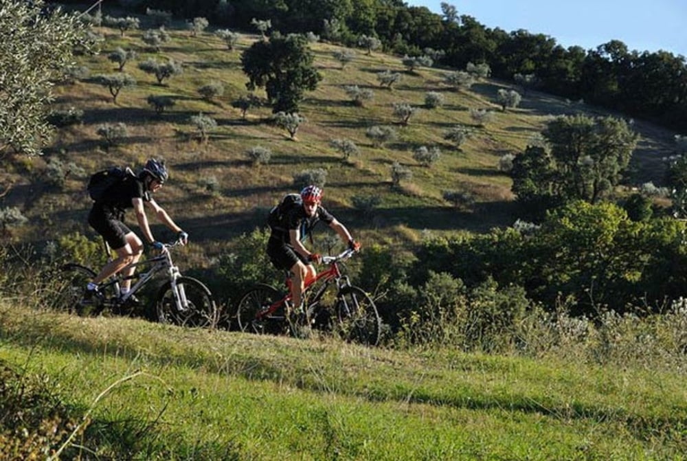
Starting point of this MTB tour is the medieval village of Montieri. You can overnight in the comfortable small bikehotel Prategiano. The trail leads through big chestnut woods before you arrive to the village of Prata, where you can stop for a break. The first part of the bike tour leads through one of the most deserted regions of Italy. Continue a long downhill before arriving to the vallies around Massa Marittima. The vegetation changes to evergreen mediterrenian macchia before arriving to Follonica, where you could also bike along the beach.
On this mountainbike tour through Tuscany the countryside changes dramatically every hour and you see alll beauties that the Maremma Toscana offers to its visitors.
Verdere informatie onder
http://www.hotel-toscana-tuscany.com/biking_tuscany.htmlFotogalerie van de tocht
Kaart en hoogteprofiel van de tocht
Minimumhoogte 16 m
Maximale hoogte 858 m
Meer over de tour auteur

|
Rena |
Commentaren

GPS-tracks
Trackpoints-
GPX / Garmin Map Source (gpx) download
-
TCX / Garmin Training Center® (tcx) download
-
CRS / Garmin Training Center® (crs) download
-
Google Earth (kml) download
-
G7ToWin (g7t) download
-
TTQV (trk) download
-
Overlay (ovl) download
-
Fugawi (txt) download
-
Kompass (DAV) Track (tk) download
-
Pagina van de tocht (pdf) download
-
Origineel dossier van de auteur (gpx) download
Meer over de tour auteur
|
|
Rena |
Toevoegen aan mijn favorieten
Uit mijn favorieten verwijderen
Tags bewerken
Open track
Mijn waardering
Tarief