


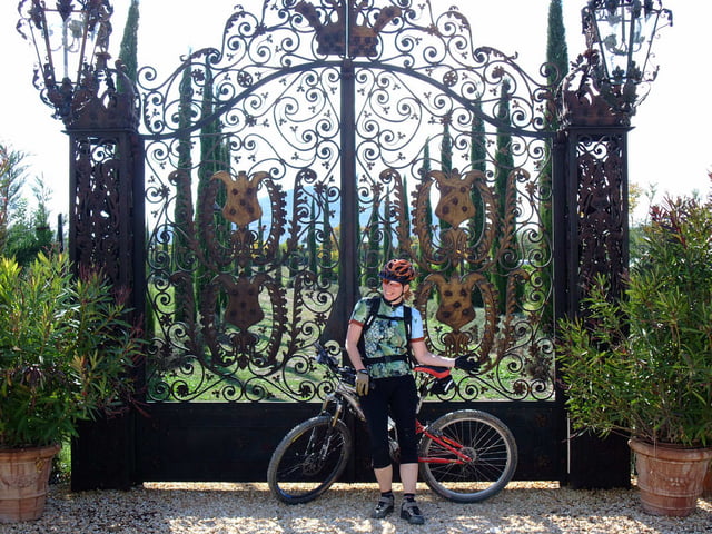
MTB IN THE LESSER KNOWN PARTS OF TUSCANY
Tours
Val di Merse is situated just south of Siena. For more route tips visit the link below.
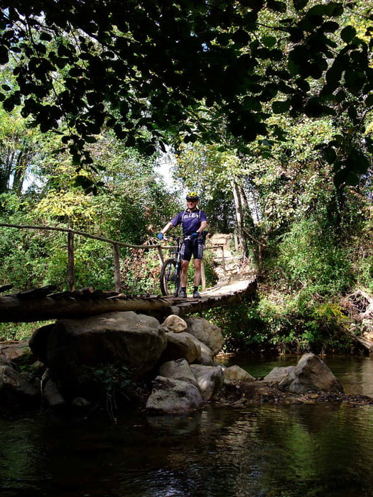
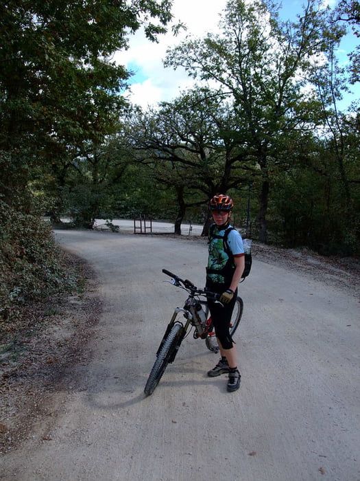
Not that much single trails but lots of white dirt roads, "strade bianche".
This tour starts and ends at the monastery of San Galgano. Note that the fee for the car park is quite expensive. We parked for free along the main road.
Food: There is a restaurant/bar at the monastery. Bring your own stuff if you want something en-route.
Maps
It's hard to get good maps of this area. There is the Kompass 661 Siena-Chianti Colline Senesi 1:50000, a bit crappy if you ask me. The best map we could get our hands on is Montagnola Senese 1:35000, Globalmap ISBN 88-7914-351-4. None of the maps are GPS compatible.
Accomodation
More than you can shake a stick at. Try this web site: www.agrituristsiena.com
Verdere informatie onder
http://bici.terresiena.it/Fotogalerie van de tocht
Kaart en hoogteprofiel van de tocht
Minimumhoogte 259 m
Maximale hoogte 487 m
Meer over de tour auteur
|
|
Eva |
Commentaren

GPS-tracks
Trackpoints-
GPX / Garmin Map Source (gpx) download
-
TCX / Garmin Training Center® (tcx) download
-
CRS / Garmin Training Center® (crs) download
-
Google Earth (kml) download
-
G7ToWin (g7t) download
-
TTQV (trk) download
-
Overlay (ovl) download
-
Fugawi (txt) download
-
Kompass (DAV) Track (tk) download
-
Pagina van de tocht (pdf) download
-
Origineel dossier van de auteur (gpx) download
Meer over de tour auteur
|
|
Eva |
Toevoegen aan mijn favorieten
Uit mijn favorieten verwijderen
Tags bewerken
Open track
Mijn waardering
Tarief