


This tour was record with Garmin Colorado 300 and post-worked with Map Source.
This cross-country skiing tour starts in Campitello close to the Col Rodella cable railway bus parking and it can be combined with the 4.5 km Campitello-Canazei Loop, GPS-Tour #50632.
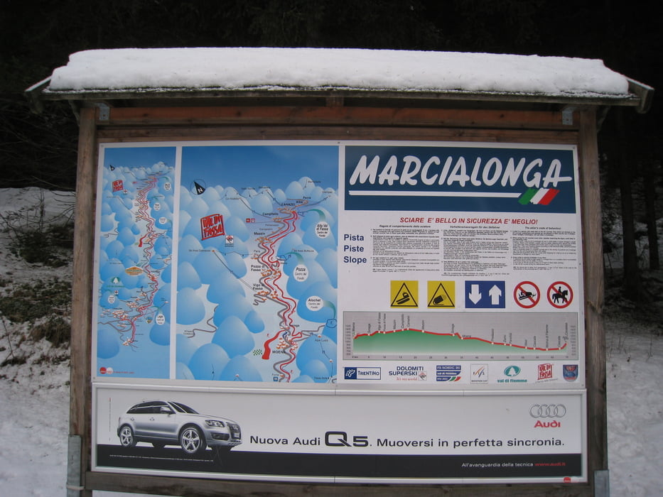
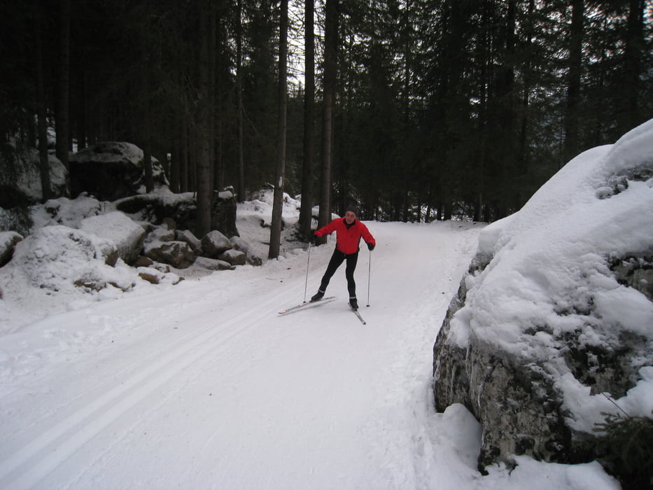
The cross-country ski track is build in two parts, for classic cross-country with one track and a broad part for skating. It is part of the famous 70 km long Marcialonga cross-country race course.
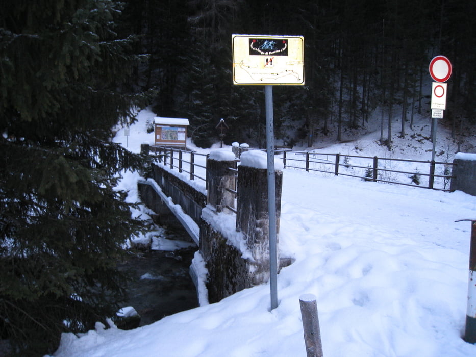
First the trail goes downhill following the small creek in a nice area with some hilly parts. At the first brige you can make the decision to go clockwise or counterclockwise – or you do it both after each other. One lab has about 3 km downhill and 3 km uphill. Left side of creek leads via open land.
At the second bridge there is a possibility to make a short cut.
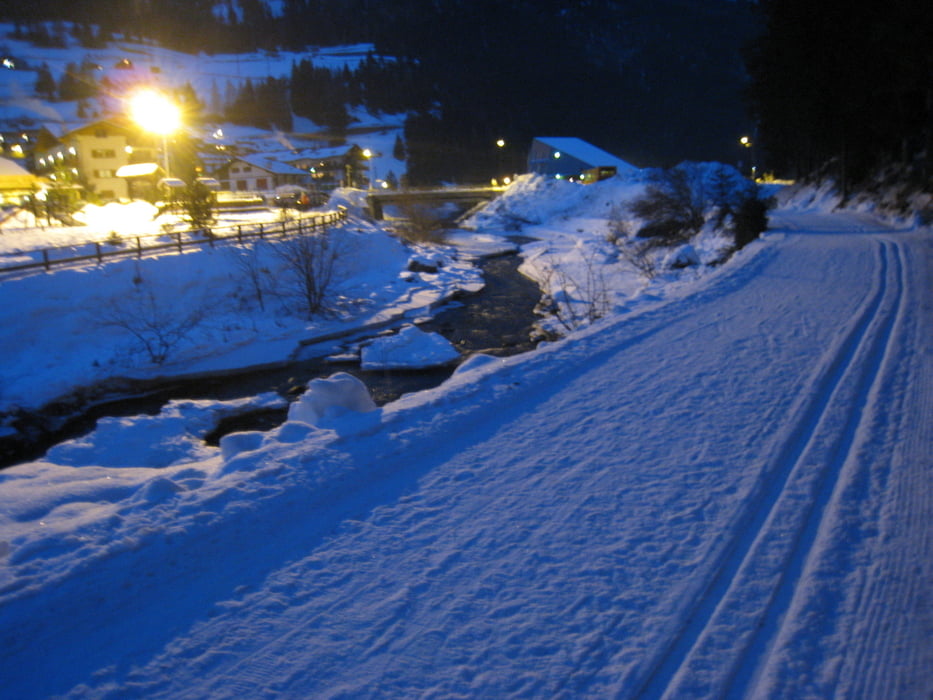
At this trail you will have a wonderful outlook to the unique Dolomiti mountains environment.
Have fun at this nice cross-country skiing track.
If you like running - you can use this trail too.
P.S. Videos clips to my gps-tours with different categories you can find under the attached link in further information. It will guide you to YouTube.
Verdere informatie onder
http://hvdh.info/Fotogalerie van de tocht
Kaart en hoogteprofiel van de tocht
Minimumhoogte 2339 m
Maximale hoogte 2401 m
Meer over de tour auteur
|
|
HvdH |
Commentaren

The start of this cross-country skiing trail is in Campitello close to the Col Rodella cable railway. From the areas arrount you can use the skiing busses to go to this place.
From Canazei you can use the cross-country trail to Campitello.
GPS-tracks
Trackpoints-
GPX / Garmin Map Source (gpx) download
-
TCX / Garmin Training Center® (tcx) download
-
CRS / Garmin Training Center® (crs) download
-
Google Earth (kml) download
-
G7ToWin (g7t) download
-
TTQV (trk) download
-
Overlay (ovl) download
-
Fugawi (txt) download
-
Kompass (DAV) Track (tk) download
-
Pagina van de tocht (pdf) download
-
Origineel dossier van de auteur (gpx) download
Meer over de tour auteur
|
|
HvdH |
Toevoegen aan mijn favorieten
Uit mijn favorieten verwijderen
Tags bewerken
Open track
Mijn waardering
Tarief