


Kleine Warnung vorneweg: Die Tour wird nur fahrtechnisch sehr geübten Bikern Spaß machen!
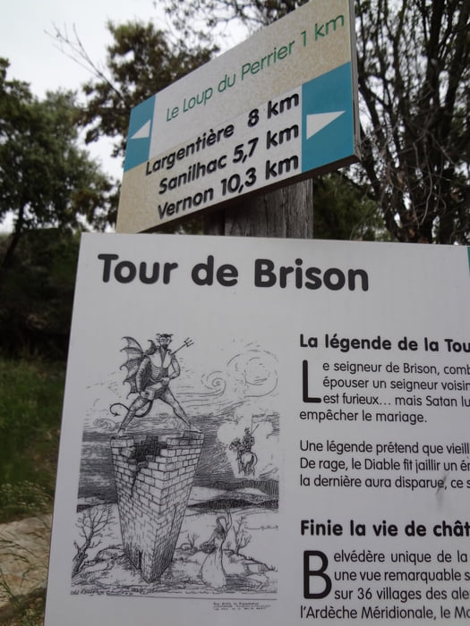
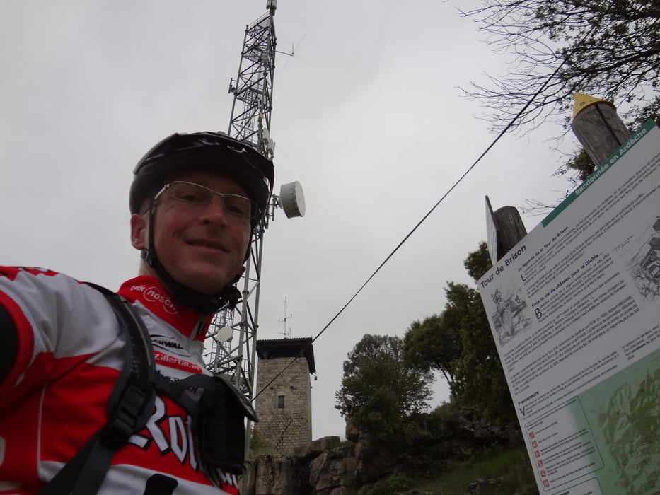
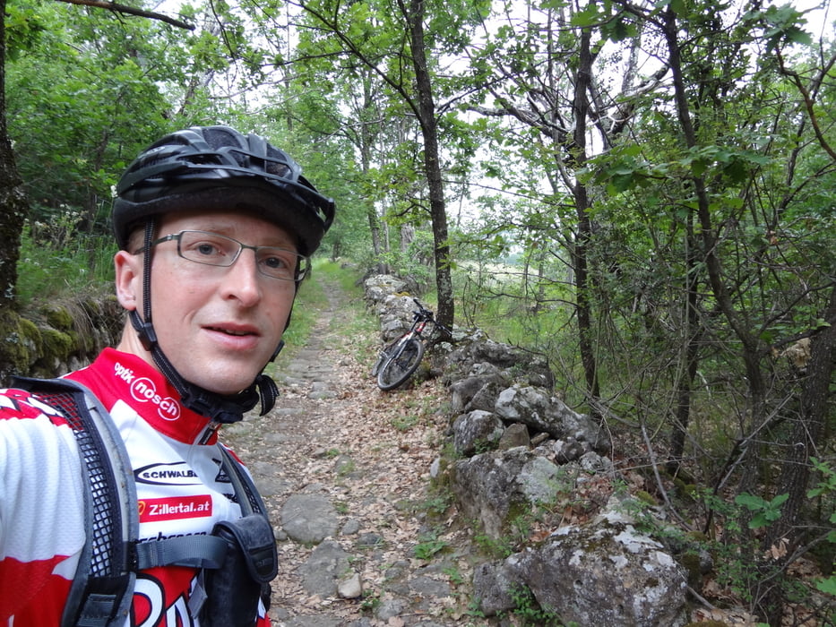
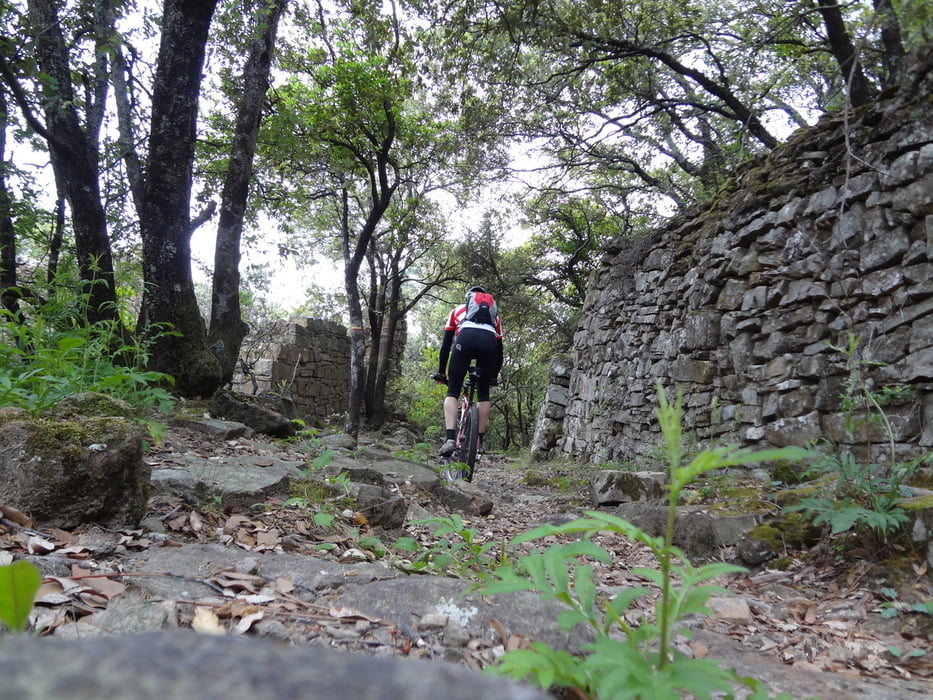
Der Aufstieg führt auf wenig befahrenen Straßen durch das malerische Örtchten Monreal (Einkehrmöglichkeit) hoch zum Funkturm "Tour de Braison". Von dort hat man eine tolle Aussicht über die Region. Von dort geht es zunächst auf einem sehr anspruchsvollen aber zu 99% fahrbaren Wanderweg (gelb/rote Markierung Richtung Sanhilac) zu einem kleinen Weiler, den man beim Aufstieg schon einmal durchquert hat. Dort aufpassen, man muß nochmal weniger Meter der Straße berghoch folgen bis rechts der Wanderweg mit der gelb/roten Markeirung weitergeht. Ab hier geht es auf sehr schmalen steingepflasterten alten Wirtschaftswegen weiter hinab bis nach Montreal. Auf diesem Weg freut man sich über eine gute Federung (ich hatte nur ein Hardtail).
------------------------------------------------------
Little warning: Only experienced biker will have fun on this tour!
The climb up goes on roads with very low trafic to the beatifull vilage Monreal an from then more and more steep up to the radio tower Tour de Braison. FThere you have a beautifull view over the region. Then you follow a hiking trail with yellow/red marks in direction of Sanhilac. This path is quiet steep and difficult but about 99% driveable for experienced bikers. When you reach some houses be careful not to loose the way. You have to drive some meters up the road until the red/yellow marked hiking trail starts again. Then the trail goes on old stony roads down to Monreal. On this trail you are glad to have good suspension, 150 mm is not too much. (I only had a hard tail bike)
Galeria trasy
Mapa trasy i profil wysokości
Minimum height 293 m
Maximum height 884 m
More about the tour author
|
|
H_SND |
Komentarze

More about the tour author
|
|
H_SND |
Add to my favorites
Remove from my favorites
Edit tags
Open track


My score
Rate