Login

Zapomniałeś swój login?

Cookies have to be accepted!
Your browser's cookie functionality is disabled. Please enable this functionality.

Not a member yet?

Register now
Login

Available for registred users only

Log in to use this feature.

Zapomniałeś swój login?

Cookies have to be accepted!
Your browser's cookie functionality is disabled. Please enable this functionality.

Not a member yet?

Register now
Filter
Kategorie
Advanced filters
  • Długość (km)
  • Wysokość
Zapisz filtr Reset filter

TrackRank

QRCode

Technical data

Długość8,8 km Wysokość459 m Way down1009 m Czas trwania04:00 h:m Data16.01.2005
Oceny Author Krajobraz Czynnik zadowolenia Kondycja Technika

Statystyka

3325 Widoki Oceny 255 Downloads / Pliki do pobrania Przeciętnie
Rate
  • Karta trasy
  • Dojazd
  • Downloads / Pliki do pobrania
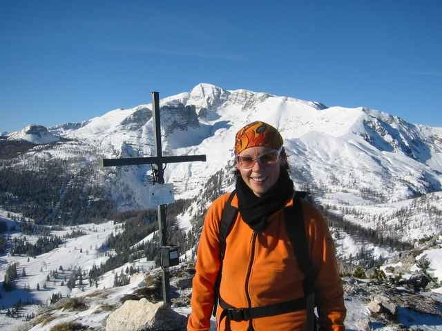
Tolle Tour auf der Wurzeralm!
Zuerst mit der Standseilbahn hinauf auf den Teichelboden, richtung Dümlerhuette anschl. rechtshalten und auf der Rückseite des Berges hinaufgehen (Nordseite). Retur den gleichen Weg. (man hat die Moeglichkeit auch mit der Bahn nach unten zu fahren, wir sind gegangen)

Galeria trasy

Mapa trasy i profil wysokości

  • Open Street Map
  • Google
Minimum height 843 m Maximum height 1786 m Widok szczegółowy

More about the tour author

juergen
Member since 2003

Send private message

Komentarze

Anfahrt wie ins Skigebiet Wurzeralm (ist gut Beschildert)
Parkplatz von den Wurzeralmbahnen benutzen.

GPS tracks

Trackpoints
  • GPX / Garmin Map Source (gpx) download
  • TCX / Garmin Training Center® (tcx) download
  • CRS / Garmin Training Center® (crs) download
  • Google Earth (kml) download
  • G7ToWin (g7t) download
  • TTQV (trk) download
  • Overlay (ovl) download
  • Fugawi (txt) download
  • Kompass (DAV) Track (tk) download
  • Karta trasy (pdf) download
  • Original file of the author (g7t) download

More about the tour author

juergen
Member since 2003

Send private message
Share track
Add to my favorites
Remove from my favorites
Edit tags
My score
Rate
Trasa: Stubwieswipfel
Rodzaj: Rakiety śnieżne
Długość: 8,8 km
Evaluated on:
Czas trwania:
Day(s)
Hour(s)
Minute(s)
Ocena: Krajobraz Czynnik zadowolenia Kondycja Technika