Login

Zapomniałeś swój login?

Cookies have to be accepted!
Your browser's cookie functionality is disabled. Please enable this functionality.

Not a member yet?

Register now
Login

Available for registred users only

Log in to use this feature.

Zapomniałeś swój login?

Cookies have to be accepted!
Your browser's cookie functionality is disabled. Please enable this functionality.

Not a member yet?

Register now
Filter
Kategorie
Advanced filters
  • Długość (km)
  • Wysokość
Zapisz filtr Reset filter

TrackRank

QRCode

Technical data

Długość63,6 km Wysokość1811 m Way down1809 m Czas trwania04:00 h:m Data30.10.2011
Oceny Author User Krajobraz Czynnik zadowolenia Kondycja Technika

Statystyka

1517 Widoki 1 Ocena 258 Downloads / Pliki do pobrania 4.00 Przeciętnie
Rate
  • Karta trasy
  • Dojazd
  • Downloads / Pliki do pobrania
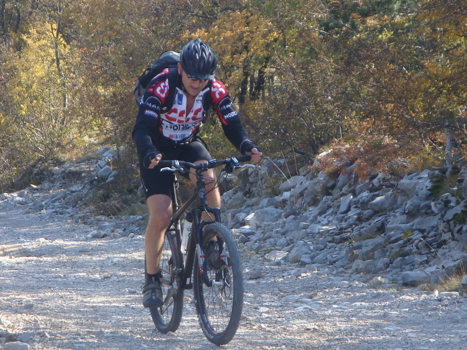
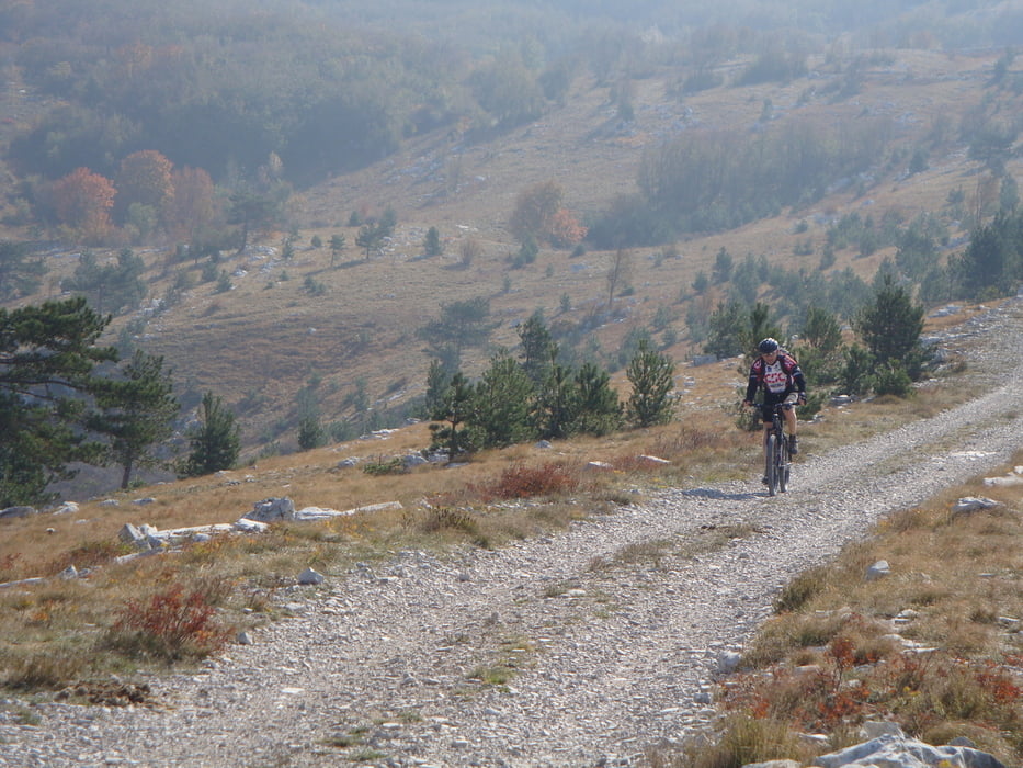
Lovran-Moščenica-Sv.Jelena-Bodaj-Vela Ućka-Vojak-Veprinac-Ičiči-Lovran

Further information at

https://mtb-itd.si/poti/ucka

Galeria trasy

Mapa trasy i profil wysokości

  • Open Street Map
  • Google
Minimum height 39 m 
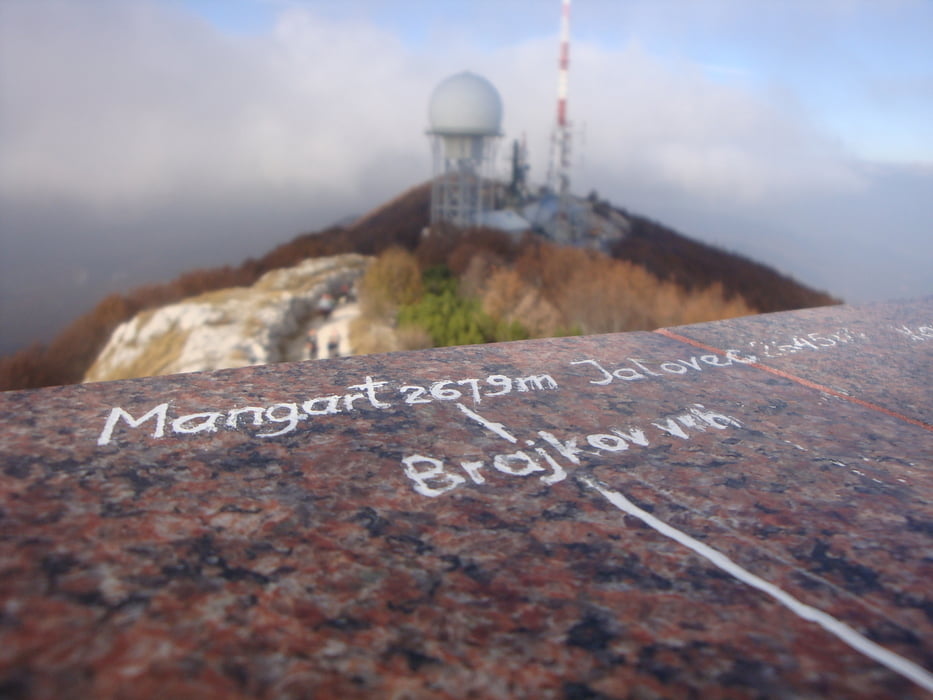
Maximum height 1442 m Widok szczegółowy

More about the tour author

andrejno
Member since 2012

Send private message

Komentarze

GPS tracks

Trackpoints
  • GPX / Garmin Map Source (gpx) download
  • TCX / Garmin Training Center® (tcx) download
  • CRS / Garmin Training Center® (crs) download
  • Google Earth (kml) download
  • G7ToWin (g7t) download
  • TTQV (trk) download
  • Overlay (ovl) download
  • Fugawi (txt) download
  • Kompass (DAV) Track (tk) download
  • Karta trasy (pdf) download
  • Original file of the author (gpx) download

More about the tour author

andrejno
Member since 2012

Send private message
Share track
Add to my favorites
Remove from my favorites
Edit tags
My score
Rate
Trasa: Učka
Rodzaj: Rower górski (MTB)
Długość: 63,6 km
Evaluated on:
Czas trwania:
Day(s)
Hour(s)
Minute(s)
Ocena: Krajobraz Czynnik zadowolenia Kondycja Technika