Login

Zapomniałeś swój login?

Cookies have to be accepted!
Your browser's cookie functionality is disabled. Please enable this functionality.

Not a member yet?

Register now
Login

Available for registred users only

Log in to use this feature.

Zapomniałeś swój login?

Cookies have to be accepted!
Your browser's cookie functionality is disabled. Please enable this functionality.

Not a member yet?

Register now
Filter
Kategorie
Advanced filters
  • Długość (km)
  • Wysokość
Zapisz filtr Reset filter

TrackRank

QRCode

Technical data

Długość15,7 km Wysokość399 m Way down407 m Czas trwania02:45 h:m Data02.10.2013
Oceny Author Krajobraz Czynnik zadowolenia Kondycja Technika

Statystyka

1904 Widoki Oceny 85 Downloads / Pliki do pobrania Przeciętnie
Rate
  • Karta trasy
  • Dojazd
  • Downloads / Pliki do pobrania

nach Wanderführer ROTHER       ISBN 978-3-7633-4371-3

Tour blau 1

Ausgangspunkt: Arillas, Strandpromenade
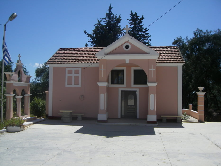
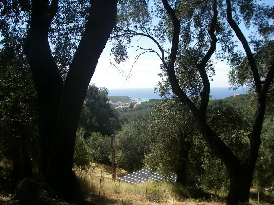
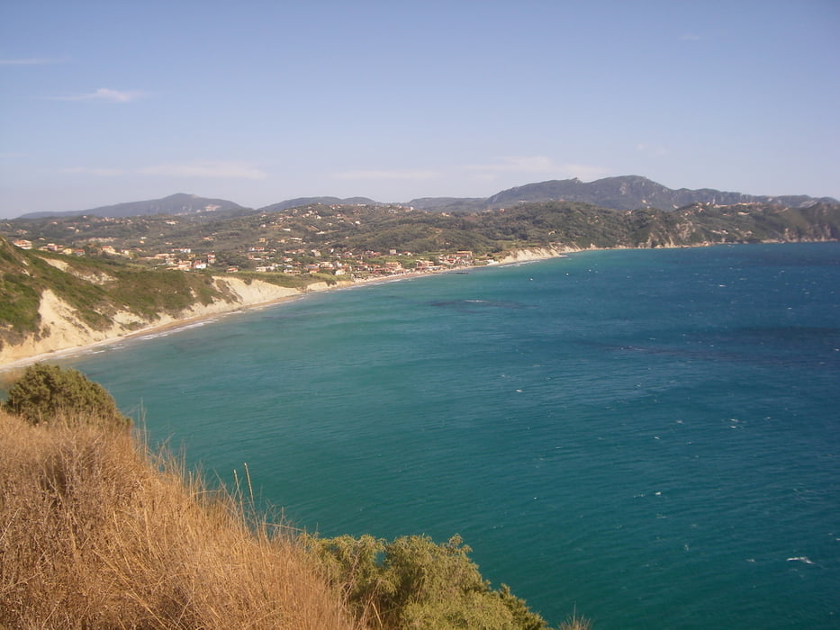
Galeria trasy

Mapa trasy i profil wysokości

  • Open Street Map
  • Google
Minimum height -10 m Maximum height 134 m Widok szczegółowy

More about the tour author

scholle-d
Member since 2011

Send private message

Komentarze

GPS tracks

Trackpoints
  • GPX / Garmin Map Source (gpx) download
  • TCX / Garmin Training Center® (tcx) download
  • CRS / Garmin Training Center® (crs) download
  • Google Earth (kml) download
  • G7ToWin (g7t) download
  • TTQV (trk) download
  • Overlay (ovl) download
  • Fugawi (txt) download
  • Kompass (DAV) Track (tk) download
  • Karta trasy (pdf) download
  • Original file of the author (gpx) download

More about the tour author

scholle-d
Member since 2011

Send private message
Share track
Add to my favorites
Remove from my favorites
Edit tags
My score
Rate
Trasa: Rundwanderung bei Arillas & Agios Stefanos
Rodzaj: Wędrówki
Długość: 15,7 km
Evaluated on:
Czas trwania:
Day(s)
Hour(s)
Minute(s)
Ocena: Krajobraz Czynnik zadowolenia Kondycja Technika