

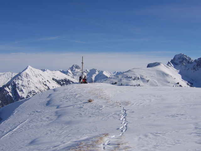

einfache Skitour (bei LW3 meist machbar) von Au aus auf der Nordseite zum Hohen Lug.
Start in Au bei der Kirche, Richtung Bergstation Grundholzlift, weiter auf dem Güterweg Richtung Kristalhütte. Am Waldende dann auf Almwiesen zum Hohen Lug.
Der Track startet bei der Ailinger Hütte.
Der Hohe Lug kann von der Argenbrücke (nach Au Richtung Damüls) auch auf der Südseite bestiegen / befahren werden (Weg siehe Radtour).
Start in Au bei der Kirche, Richtung Bergstation Grundholzlift, weiter auf dem Güterweg Richtung Kristalhütte. Am Waldende dann auf Almwiesen zum Hohen Lug.
Der Track startet bei der Ailinger Hütte.
Der Hohe Lug kann von der Argenbrücke (nach Au Richtung Damüls) auch auf der Südseite bestiegen / befahren werden (Weg siehe Radtour).
Galeria trasy

Mapa trasy i profil wysokości
Minimum height 819 m
Maximum height 1780 m
More about the tour author
|
|
skyhopper |
Komentarze

More about the tour author
|
|
skyhopper |
Add to my favorites
Remove from my favorites
Edit tags
Open track


My score
Rate