Login

Zapomniałeś swój login?

Cookies have to be accepted!
Your browser's cookie functionality is disabled. Please enable this functionality.

Not a member yet?

Register now
Login

Available for registred users only

Log in to use this feature.

Zapomniałeś swój login?

Cookies have to be accepted!
Your browser's cookie functionality is disabled. Please enable this functionality.

Not a member yet?

Register now
Filter
Kategorie
Advanced filters
  • Długość (km)
  • Wysokość
Zapisz filtr Reset filter

TrackRank

QRCode

Technical data

Długość20,1 km Wysokość321 m Way down321 m Czas trwania00:00 h:m Data26.05.2015
Oceny Author Krajobraz Czynnik zadowolenia Kondycja Technika

Statystyka

636 Widoki Oceny 6 Downloads / Pliki do pobrania Przeciętnie
Rate
  • Karta trasy
  • Dojazd
  • Downloads / Pliki do pobrania

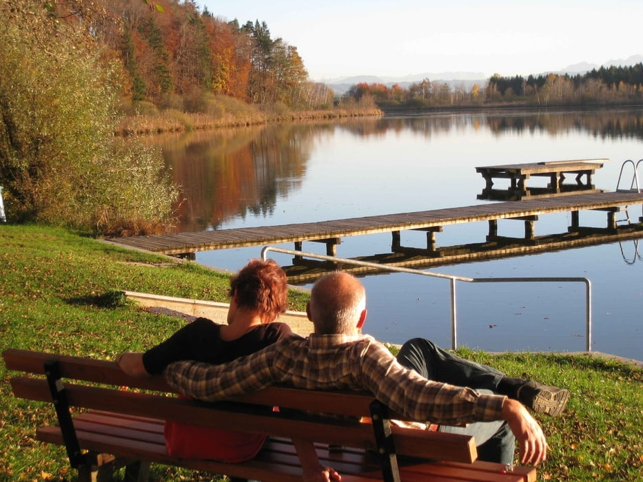
Strecke 9 - Motto: Wunderbare Ausblicke

Beschreibung:

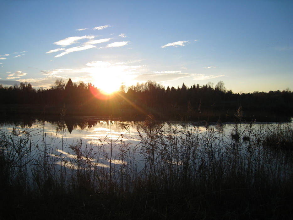
Sie starten Richtung Pippmannsberg, queren die Aicher Straße und folgen dem Waldweg bis zur Straße. Halten Sie sich rechts und queren die Oberinnviertler Landesstraße nach Weilbuch. In Haselreith bewegen Sie sich links und gelangen via Miesling nach Heimhausen, Trametshausen und Bergstetten. Den Gruberberg beschreiten Sie abwärts bis Untergrub und am Waldrand, Richtung Café Bambi, zum Ibmer See. Beim Strandbad folgen Sie links dem Naturpfad zur Hackenbucher Straße, der sie nach links in den Ortskern von Ibm folgen. Links in Richtung Untergrub und über Autmannsdorf gelangen Sie bergauf zurück nach Eggelsberg.

Further information at

http://www.moor-ausflug.at

Galeria trasy

Mapa trasy i profil wysokości

  • Open Street Map
  • Google
Minimum height 427 m Maximum height 549 m Widok szczegółowy

More about the tour author

seelentiumregion
Member since 2009

Send private message

Komentarze

GPS tracks

Trackpoints
  • GPX / Garmin Map Source (gpx) download
  • TCX / Garmin Training Center® (tcx) download
  • CRS / Garmin Training Center® (crs) download
  • Google Earth (kml) download
  • G7ToWin (g7t) download
  • TTQV (trk) download
  • Overlay (ovl) download
  • Fugawi (txt) download
  • Kompass (DAV) Track (tk) download
  • Karta trasy (pdf) download
  • Original file of the author (gpx) download

More about the tour author

seelentiumregion
Member since 2009

Send private message
Share track
Add to my favorites
Remove from my favorites
Edit tags
My score
Rate
Trasa: Eggelsberger Bewegungswelt "Panorama-Runde
Rodzaj: Nordic walking
Długość: 20,1 km
Evaluated on:
Czas trwania:
Day(s)
Hour(s)
Minute(s)
Ocena: Krajobraz Czynnik zadowolenia Kondycja Technika