Login

Zapomniałeś swój login?

Cookies have to be accepted!
Your browser's cookie functionality is disabled. Please enable this functionality.

Not a member yet?

Register now
Login

Available for registred users only

Log in to use this feature.

Zapomniałeś swój login?

Cookies have to be accepted!
Your browser's cookie functionality is disabled. Please enable this functionality.

Not a member yet?

Register now
Filter
Kategorie
Advanced filters
  • Długość (km)
  • Wysokość
Zapisz filtr Reset filter

TrackRank

QRCode

Technical data

Długość3,4 km Wysokość25 m Way down31 m Czas trwania01:30 h:m Data07.06.2015
Oceny Author Krajobraz Czynnik zadowolenia Kondycja Technika

Statystyka

711 Widoki 1 Ocena 38 Downloads / Pliki do pobrania 3.00 Przeciętnie
Rate
  • Karta trasy
  • Dojazd
  • Downloads / Pliki do pobrania

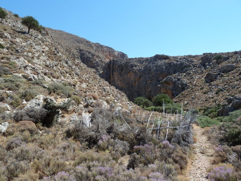
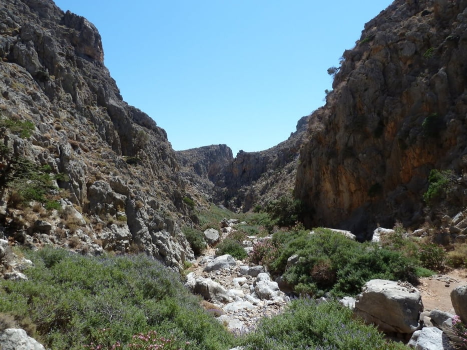
This is a hiking-track in the area between Palekastro and Zakros (Eastern End of Crete).

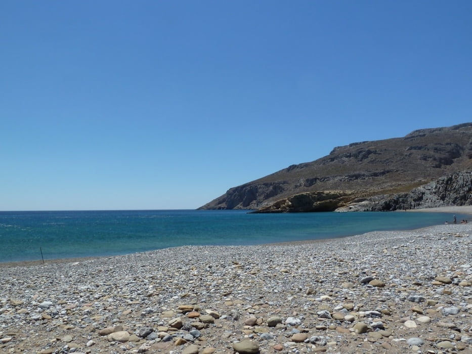
It is a nice trip through Chochlakies Gorge, ending on the broad beach of Karoumes. The walk of the Gorge is fairly easy, although we had to abort our first hike in April 20111 since the Gorge was still full of water at a narrow point. Karoumes beach offers nice possibilities for swimming, but there is not too much shadow available.

No Taverns or villages can be found on the whole trip, so water and sun protection is essential.

From Karoumes you can either return through the Gorge, or you can walk southwards towards pelekita cave and continue to Kato Zakros. I have not made this trip yet, but right at the beginning it will mount in some high ledges.

Further information at

http://www.sitia-geopark.gr/en.aspx

Galeria trasy

Mapa trasy i profil wysokości

  • Open Street Map
  • Google
Minimum height -8 m Maximum height 20 m Widok szczegółowy

More about the tour author

Kretakulk
Member since 2009

Send private message

Komentarze

The best point to begin is at the small Chapel behind the village of Chochlakies. You will have to drive thorugh a narrow alley in Chochlakies to reach this parking.


GPS tracks

Trackpoints
  • GPX / Garmin Map Source (gpx) download
  • TCX / Garmin Training Center® (tcx) download
  • CRS / Garmin Training Center® (crs) download
  • Google Earth (kml) download
  • G7ToWin (g7t) download
  • TTQV (trk) download
  • Overlay (ovl) download
  • Fugawi (txt) download
  • Kompass (DAV) Track (tk) download
  • Karta trasy (pdf) download
  • Original file of the author (gpx) download

More about the tour author

Kretakulk
Member since 2009

Send private message
Share track
Add to my favorites
Remove from my favorites
Edit tags
My score
Rate
Trasa: Chochlakies Gorge to Karoumes Beach
Rodzaj: Wędrówki
Długość: 3,4 km
Evaluated on:
Czas trwania:
Day(s)
Hour(s)
Minute(s)
Ocena: Krajobraz Czynnik zadowolenia Kondycja Technika