Login

Zapomniałeś swój login?

Cookies have to be accepted!
Your browser's cookie functionality is disabled. Please enable this functionality.

Not a member yet?

Register now
Login

Available for registred users only

Log in to use this feature.

Zapomniałeś swój login?

Cookies have to be accepted!
Your browser's cookie functionality is disabled. Please enable this functionality.

Not a member yet?

Register now
Filter
Kategorie
Advanced filters
  • Długość (km)
  • Wysokość
Zapisz filtr Reset filter

TrackRank

QRCode

Technical data

Długość11,8 km Wysokość19 m Way down26 m Czas trwania4 days 4 h Data12.09.2015
Oceny Author Krajobraz Czynnik zadowolenia Kondycja Technika

Statystyka

515 Widoki Oceny 4 Downloads / Pliki do pobrania Przeciętnie
Rate
  • Karta trasy
  • Dojazd
  • Downloads / Pliki do pobrania

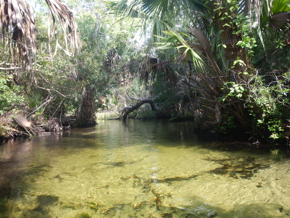
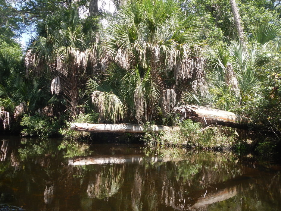
www.juniper-springs.com/recreation/  :  "Named one of the top 25 canoe runs in America by ReserveAmerica and typically a high point of a visit to Florida, Juniper Run is a narrow, winding waterway set under a dense canopy of old-growth forest and few places solid enough to get out of your canoe"


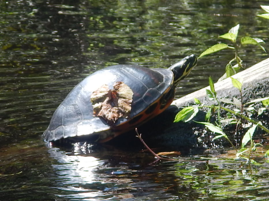
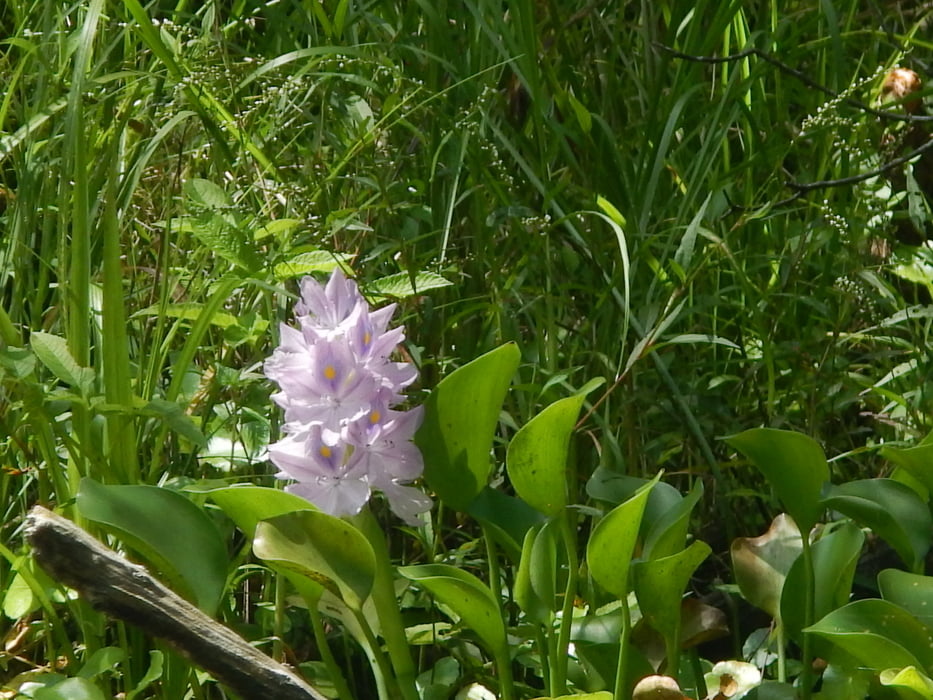
Canoeing is extremely popular year-round at Juniper springs. Canoes and kayaks are available to be rented. The seven-mile journey down Juniper Run offers a unique perspective on the Juniper Prairie Wilderness, where you might see otters at play or alligators drifting through the shallows.

 All pictures of this tour: www.panoramio.com/photo/124625093

Further information at

http://www.juniper-springs.com

Galeria trasy

Mapa trasy i profil wysokości

  • Open Street Map
  • Google
Minimum height -3 m Maximum height 13 m Widok szczegółowy

More about the tour author

MatthiasBy
Member since 2008

Send private message

Komentarze

From the intersection of Highway 19 and Highway 40, 4.6 miles west on Highway 40. Entrance on north side of Highway 40.


GPS tracks

Trackpoints
  • GPX / Garmin Map Source (gpx) download
  • TCX / Garmin Training Center® (tcx) download
  • CRS / Garmin Training Center® (crs) download
  • Google Earth (kml) download
  • G7ToWin (g7t) download
  • TTQV (trk) download
  • Overlay (ovl) download
  • Fugawi (txt) download
  • Kompass (DAV) Track (tk) download
  • Karta trasy (pdf) download
  • Original file of the author (gpx) download

More about the tour author

MatthiasBy
Member since 2008

Send private message
Share track
Add to my favorites
Remove from my favorites
Edit tags
My score
Rate
Trasa: Juniper Run: A narrow, winding waterway
Rodzaj: Łodzi i kajaków
Długość: 11,8 km
Evaluated on:
Czas trwania:
Day(s)
Hour(s)
Minute(s)
Ocena: Krajobraz Czynnik zadowolenia Kondycja Technika