Login

Zapomniałeś swój login?

Cookies have to be accepted!
Your browser's cookie functionality is disabled. Please enable this functionality.

Not a member yet?

Register now
Login

Available for registred users only

Log in to use this feature.

Zapomniałeś swój login?

Cookies have to be accepted!
Your browser's cookie functionality is disabled. Please enable this functionality.

Not a member yet?

Register now
Filter
Kategorie
Advanced filters
  • Długość (km)
  • Wysokość
Zapisz filtr Reset filter

TrackRank

QRCode

Technical data

Długość16,0 km Wysokość0 m Way down0 m Czas trwania02:00 h:m Data02.12.2015
Oceny Author Krajobraz Czynnik zadowolenia Kondycja Technika

Statystyka

218 Widoki Oceny 6 Downloads / Pliki do pobrania Przeciętnie
Rate
  • Karta trasy
  • Dojazd
  • Downloads / Pliki do pobrania
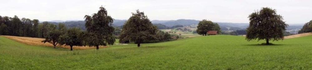
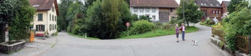
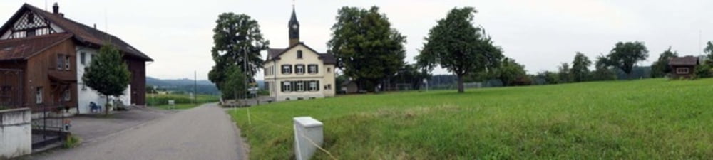
Es geht alles praktisch alles über offenes Gelände mit Weiden und schöner Aussicht. Nur ein kleines Stück führt nach Eidberg durch den Wald. Kurze Zeit muss man auch an Autostrassen vorbei, aber wenn man in der Stadt ist, dann läuft man lediglich durch ruhige Wohnquartiere.

Further information at

https://www.youtube.com/watch?v=ceaaA63XuC4

Galeria trasy

Mapa trasy i profil wysokości

  • Open Street Map
  • Google
Minimum height 99999 m Maximum height -99999 m Widok szczegółowy

More about the tour author

Iandelay
Member since 2015

Send private message

Komentarze

Es geht los vom Parkplatz Technikumstrasse, welcher an Wochenenden gratis ist. Die Tour endet auch wieder an der gleichen Stelle, wobei am Ende ein toller Brunnen auf einen wartet.

GPS tracks

Trackpoints
  • GPX / Garmin Map Source (gpx) download
  • TCX / Garmin Training Center® (tcx) download
  • CRS / Garmin Training Center® (crs) download
  • Google Earth (kml) download
  • G7ToWin (g7t) download
  • TTQV (trk) download
  • Overlay (ovl) download
  • Fugawi (txt) download
  • Kompass (DAV) Track (tk) download
  • Karta trasy (pdf) download
  • Original file of the author (gpx) download

More about the tour author

Iandelay
Member since 2015

Send private message
Share track
Add to my favorites
Remove from my favorites
Edit tags
My score
Rate
Trasa: Winterthur 16km Jogging
Rodzaj: Biegi
Długość: 16,0 km
Evaluated on:
Czas trwania:
Day(s)
Hour(s)
Minute(s)
Ocena: Krajobraz Czynnik zadowolenia Kondycja Technika