Login

Zapomniałeś swój login?

Cookies have to be accepted!
Your browser's cookie functionality is disabled. Please enable this functionality.

Not a member yet?

Register now
Login

Available for registred users only

Log in to use this feature.

Zapomniałeś swój login?

Cookies have to be accepted!
Your browser's cookie functionality is disabled. Please enable this functionality.

Not a member yet?

Register now
Filter
Kategorie
Advanced filters
  • Długość (km)
  • Wysokość
Zapisz filtr Reset filter

TrackRank

QRCode

Technical data

Długość13,2 km Wysokość740 m Way down757 m Czas trwania06:00 h:m Data21.01.2016
Oceny Author Krajobraz Czynnik zadowolenia Kondycja Technika

Statystyka

622 Widoki Oceny 8 Downloads / Pliki do pobrania Przeciętnie
Rate
  • Karta trasy
  • Dojazd
  • Downloads / Pliki do pobrania

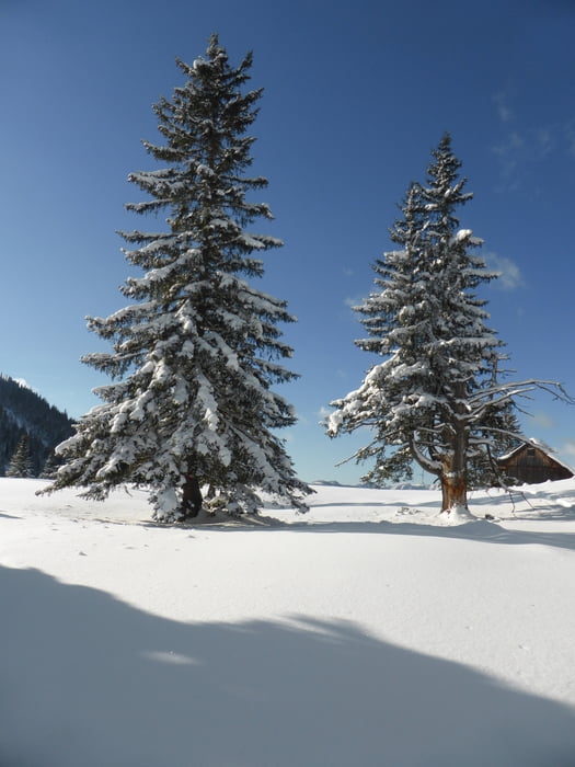
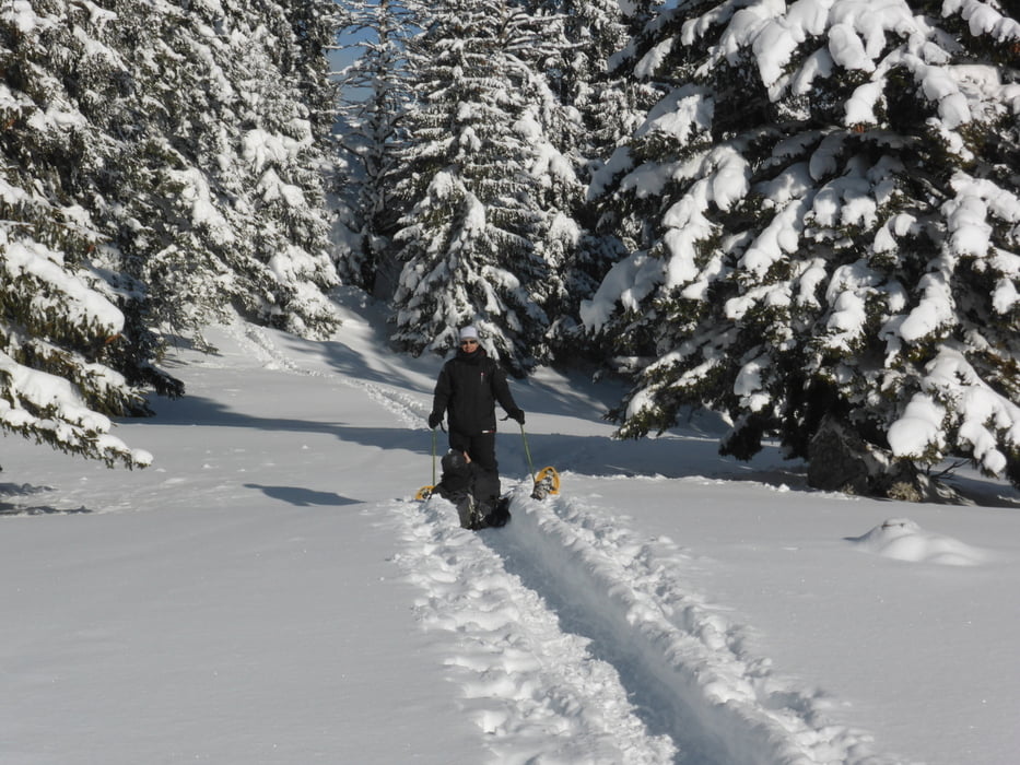
Első hótalpas túránk, ráadásul ekkora csapattal, és tökéletes időjárásban.

Igaz a szendvicsek szarok voltak........


Galeria trasy

Mapa trasy i profil wysokości

  • Open Street Map
  • Google
Minimum height 1190 m Maximum height 1701 m Widok szczegółowy

More about the tour author

anyosati
Member since 2013

Send private message

Komentarze

Paul_K on 29.01.2021

toll aber nacharbeit

Toller Rundgang, das GPS-Gerät vom Autor war aber auf die zeitliche Aufzeichung von Trackpunkten (ca. 10.000) eingestellt, anstatt auf Distanz (z.B. jede 10m). Musste den Track dann "säubern" und auf 600 Tracks reduzieren.

GPS tracks

Trackpoints
  • GPX / Garmin Map Source (gpx) download
  • TCX / Garmin Training Center® (tcx) download
  • CRS / Garmin Training Center® (crs) download
  • Google Earth (kml) download
  • G7ToWin (g7t) download
  • TTQV (trk) download
  • Overlay (ovl) download
  • Fugawi (txt) download
  • Kompass (DAV) Track (tk) download
  • Karta trasy (pdf) download
  • Original file of the author (gpx) download

More about the tour author

anyosati
Member since 2013

Send private message
Share track
Add to my favorites
Remove from my favorites
Edit tags
My score
Rate
Trasa: Hohe Veitsch majdnem
Rodzaj: Rakiety śnieżne
Długość: 13,2 km
Evaluated on:
Czas trwania:
Day(s)
Hour(s)
Minute(s)
Ocena: Krajobraz Czynnik zadowolenia Kondycja Technika