Login

Zapomniałeś swój login?

Cookies have to be accepted!
Your browser's cookie functionality is disabled. Please enable this functionality.

Not a member yet?

Register now
Login

Available for registred users only

Log in to use this feature.

Zapomniałeś swój login?

Cookies have to be accepted!
Your browser's cookie functionality is disabled. Please enable this functionality.

Not a member yet?

Register now
Filter
Kategorie
Advanced filters
  • Długość (km)
  • Wysokość
Zapisz filtr Reset filter

TrackRank

QRCode

Technical data

Długość53,1 km Wysokość2387 m Way down2325 m Czas trwania04:15 h:m Data30.04.2016
Oceny Author Krajobraz Czynnik zadowolenia Kondycja Technika

Statystyka

506 Widoki Oceny 137 Downloads / Pliki do pobrania Przeciętnie
Rate
  • Karta trasy
  • Dojazd
  • Downloads / Pliki do pobrania
Ičići-Opatija-Pobri-Mihotići-Rukavac-Planinski dom Lisina-Šija vrh-Vodice-Dol-Veprinac-Poljane-Ičići

Further information at
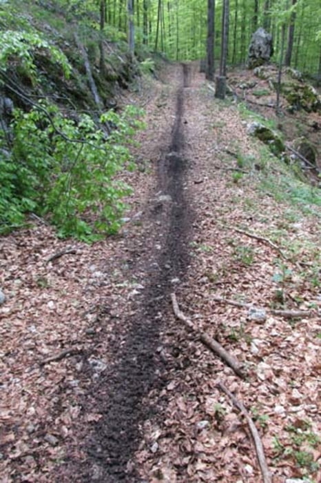
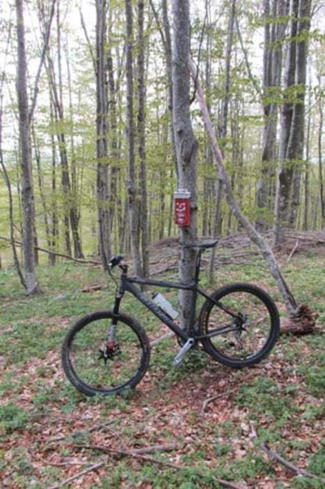
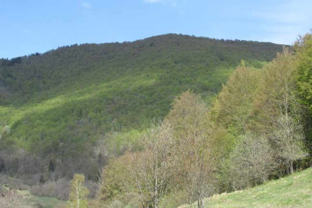
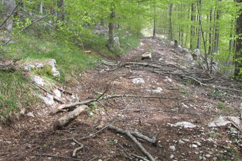
https://mtb-itd.si/poti/sija_vrh_gomila

Galeria trasy

Mapa trasy i profil wysokości

  • Open Street Map
  • Google
Minimum height -59 m Maximum height 1262 m Widok szczegółowy

More about the tour author

andrejno
Member since 2012

Send private message

Komentarze

GPS tracks

Trackpoints
  • GPX / Garmin Map Source (gpx) download
  • TCX / Garmin Training Center® (tcx) download
  • CRS / Garmin Training Center® (crs) download
  • Google Earth (kml) download
  • G7ToWin (g7t) download
  • TTQV (trk) download
  • Overlay (ovl) download
  • Fugawi (txt) download
  • Kompass (DAV) Track (tk) download
  • Karta trasy (pdf) download
  • Original file of the author (gpx) download

More about the tour author

andrejno
Member since 2012

Send private message
Share track
Add to my favorites
Remove from my favorites
Edit tags
My score
Rate
Trasa: Šija vrh (Gomila)
Rodzaj: Rower górski (MTB)
Długość: 53,1 km
Evaluated on:
Czas trwania:
Day(s)
Hour(s)
Minute(s)
Ocena: Krajobraz Czynnik zadowolenia Kondycja Technika