Login

Zapomniałeś swój login?

Cookies have to be accepted!
Your browser's cookie functionality is disabled. Please enable this functionality.

Not a member yet?

Register now
Login

Available for registred users only

Log in to use this feature.

Zapomniałeś swój login?

Cookies have to be accepted!
Your browser's cookie functionality is disabled. Please enable this functionality.

Not a member yet?

Register now
Filter
Kategorie
Advanced filters
  • Długość (km)
  • Wysokość
Zapisz filtr Reset filter

TrackRank

QRCode

Technical data

Długość3,8 km Wysokość197 m Way down206 m Czas trwania02:05 h:m Data05.06.2016
Oceny Author Krajobraz Czynnik zadowolenia Kondycja Technika

Statystyka

108 Widoki Oceny 10 Downloads / Pliki do pobrania Przeciętnie
Rate
  • Karta trasy
  • Dojazd
  • Downloads / Pliki do pobrania

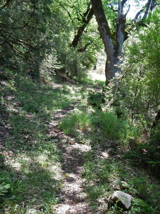
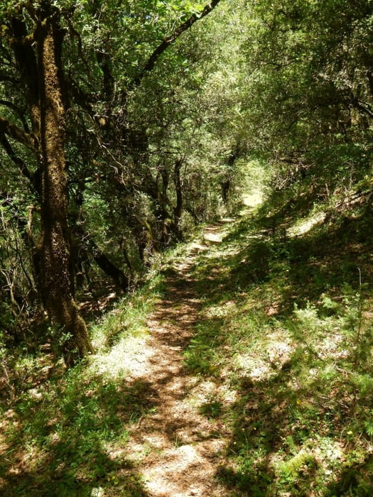
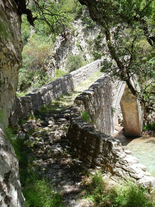
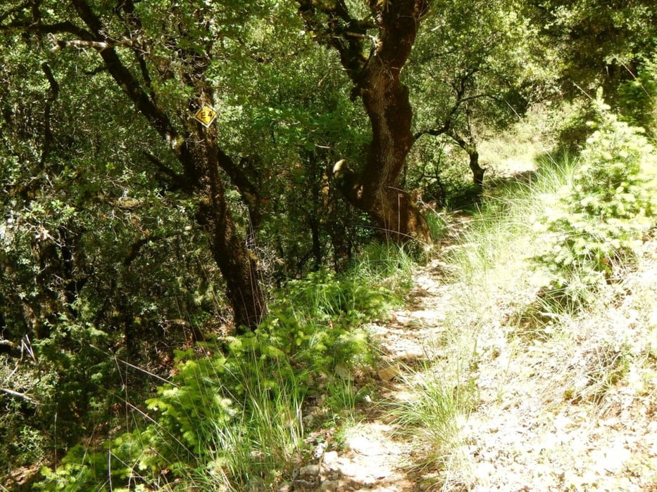
Easy trail to the stone bridge of Viniani. Part of the European trail E4. 99% in the wood, easy to find (except on time).


Galeria trasy

Mapa trasy i profil wysokości

  • Open Street Map
  • Google
Minimum height 329 m Maximum height 539 m Widok szczegółowy

More about the tour author

Mapdekode
Member since 2008

Send private message

Komentarze

From the national road 38, 2.8km before Karpanisi, left, 14km till a dust road (1.2km before Stenoma). On the dust road 3.1km till the start of the E4 (2016 it was eays to drive with a nomal car).

You can also reach the bridge from the side of Nea Viniani, a 2.5km dust road from the national road 38. But there is no shadow, full sun.

GPS tracks

Trackpoints
  • GPX / Garmin Map Source (gpx) download
  • TCX / Garmin Training Center® (tcx) download
  • CRS / Garmin Training Center® (crs) download
  • Google Earth (kml) download
  • G7ToWin (g7t) download
  • TTQV (trk) download
  • Overlay (ovl) download
  • Fugawi (txt) download
  • Kompass (DAV) Track (tk) download
  • Karta trasy (pdf) download
  • Original file of the author (gpx) download

More about the tour author

Mapdekode
Member since 2008

Send private message
Share track
Add to my favorites
Remove from my favorites
Edit tags
My score
Rate
Trasa: Greece, Evritania: trail to stone bridge Viniani
Rodzaj: Wędrówki
Długość: 3,8 km
Evaluated on:
Czas trwania:
Day(s)
Hour(s)
Minute(s)
Ocena: Krajobraz Czynnik zadowolenia Kondycja Technika