Login

Zapomniałeś swój login?

Cookies have to be accepted!
Your browser's cookie functionality is disabled. Please enable this functionality.

Not a member yet?

Register now
Login

Available for registred users only

Log in to use this feature.

Zapomniałeś swój login?

Cookies have to be accepted!
Your browser's cookie functionality is disabled. Please enable this functionality.

Not a member yet?

Register now
Filter
Kategorie
Advanced filters
  • Długość (km)
  • Wysokość
Zapisz filtr Reset filter

TrackRank

QRCode

Technical data

Długość18,8 km Wysokość360 m Way down611 m Czas trwania06:00 h:m Data12.10.2016
Oceny Author Krajobraz Czynnik zadowolenia Kondycja Technika

Statystyka

659 Widoki Oceny 17 Downloads / Pliki do pobrania Przeciętnie
Rate
  • Karta trasy
  • Dojazd
  • Downloads / Pliki do pobrania

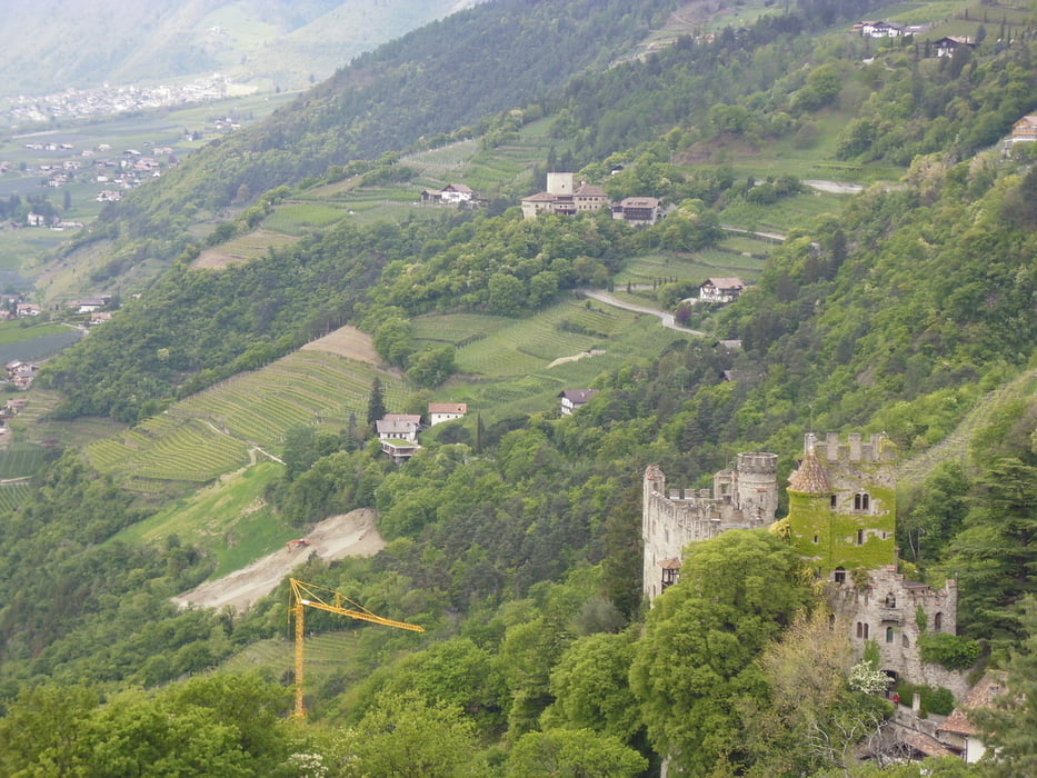
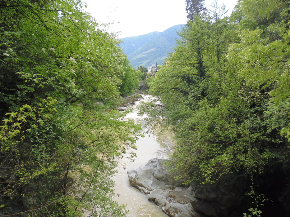
Dieser Streckenabschnitt auf unserer 3 Tages-Wanderung von Prad nach Meran gestaltete sich als der schönste.

Wunderschöne Blicke auf eine einzigartiges Berg- und Landschaftspanorama erlebten wir auf den Algunder- und Meraner Waalwegen.

Über das Dorf Tirol, das mit seiner tollen Lage weiterhin herrliche Ausblicke bietet, bishin beim Erreichen von Meran war alles dabei, was das Wanderherz begehrt.

Klasse Einkehrmöglichkeiten, traumhafte Wege und vieles mehr.


Da wir Gäste in Prad waren, hatten wir die Vinschgaukarte kostenlos erhalten, welche uns die Rückfahrt mit der Vinschgauer-Bahn gratis ermöglichte.


Galeria trasy

Mapa trasy i profil wysokości

  • Open Street Map
  • Google
Minimum height 316 m Maximum height 681 m Widok szczegółowy

More about the tour author

volker67
Member since 2010

Send private message

Komentarze

GPS tracks

Trackpoints
  • GPX / Garmin Map Source (gpx) download
  • TCX / Garmin Training Center® (tcx) download
  • CRS / Garmin Training Center® (crs) download
  • Google Earth (kml) download
  • G7ToWin (g7t) download
  • TTQV (trk) download
  • Overlay (ovl) download
  • Fugawi (txt) download
  • Kompass (DAV) Track (tk) download
  • Karta trasy (pdf) download
  • Original file of the author (gpx) download

More about the tour author

volker67
Member since 2010

Send private message
Share track
Add to my favorites
Remove from my favorites
Edit tags
My score
Rate
Trasa: 3. Etappe Rabland nach Meran
Rodzaj: Wędrówki
Długość: 18,8 km
Evaluated on:
Czas trwania:
Day(s)
Hour(s)
Minute(s)
Ocena: Krajobraz Czynnik zadowolenia Kondycja Technika