


Auf die Altkaseralm(Spitzstein) v. Windshausen
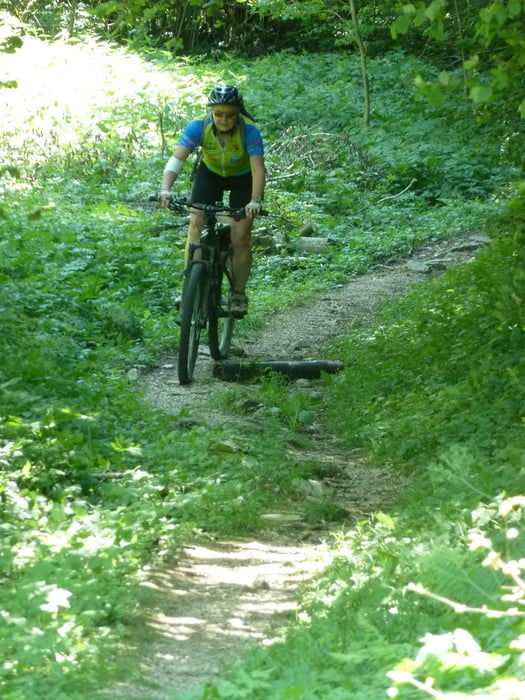
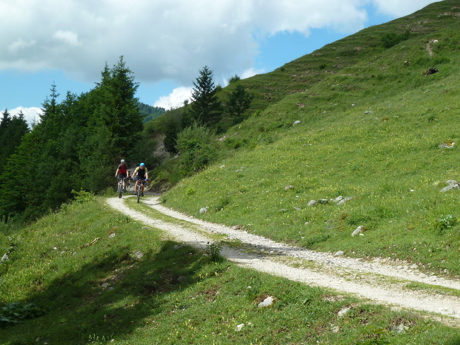
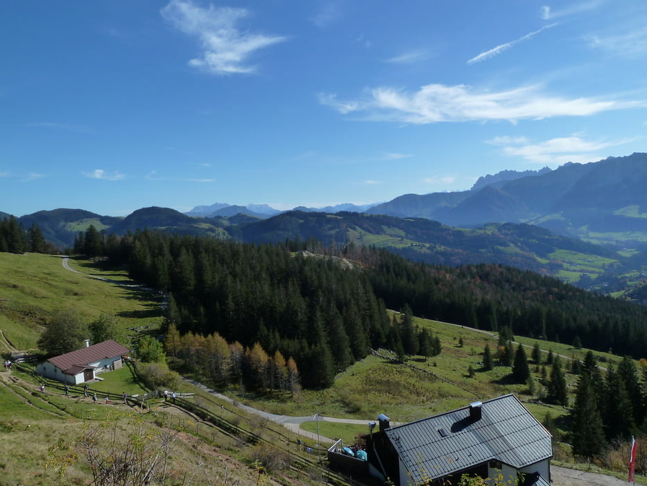
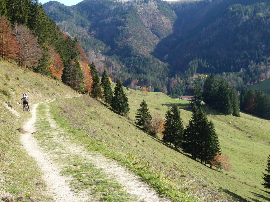
Aussichtsreiche Tour auf die Altkaseralm mit einigen Trails bei der Abfahrt. Besonders an warmen Sommertagen zu empfehlen da die Auffahrt sehr schattig ist. Erste Auffahrt ist 5 km lang, Wald ohne großartige Ausblicke, bis zur Abfahrt ins Trockenbachtal. Die ersten 2,5 km allerdings anspuchsvoll, durchschnittliche Steigung 15 %. Vom Trockenbachtal aus geht dann an der Nordseite vom Spitzstein in normaler Steigung Richtung Altkaseralm. Kleine Schiebestrecke inklusive. Altkaser empfielt sich bestens für eine Einkehr.
Die Trails beim Downhill sind für normal technisch geübte Biker bei trockenen Verhältnissen zu 100 % fahrbar, bis auf ein paar Weidegatter.
Galeria trasy
Mapa trasy i profil wysokości
Minimum height 389 m
Maximum height 1286 m
More about the tour author
|
|
MegaGuenter |
Komentarze

Anfahrt über A 93 (Kiefersfelden) Ausfahrt Nussdorf.
GPS tracks
Trackpoints-
GPX / Garmin Map Source (gpx) download
-
TCX / Garmin Training Center® (tcx) download
-
CRS / Garmin Training Center® (crs) download
-
Google Earth (kml) download
-
G7ToWin (g7t) download
-
TTQV (trk) download
-
Overlay (ovl) download
-
Fugawi (txt) download
-
Kompass (DAV) Track (tk) download
-
Karta trasy (pdf) download
-
Original file of the author (gpx) download
More about the tour author
|
|
MegaGuenter |
Add to my favorites
Remove from my favorites
Edit tags
Open track
My score
Rate