


We start on the road 20, on the trail to stone bridge Svoliani. Till to the bridge, the way is easy to find.
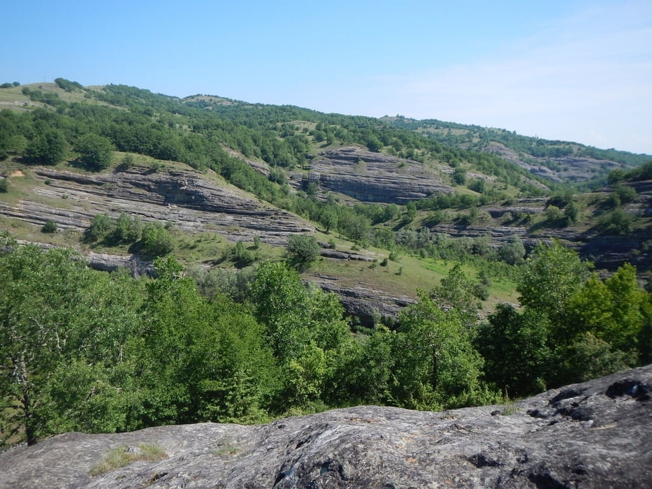
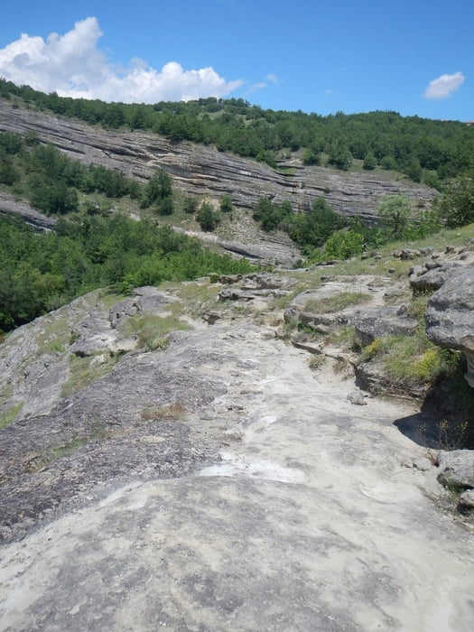
After there is no real trail, you go in the green nature. Without GPS, to follow the track, it’s hart to find the right way.
You must up the hill, to the dust road. On the dust road it goes down to a crossing.
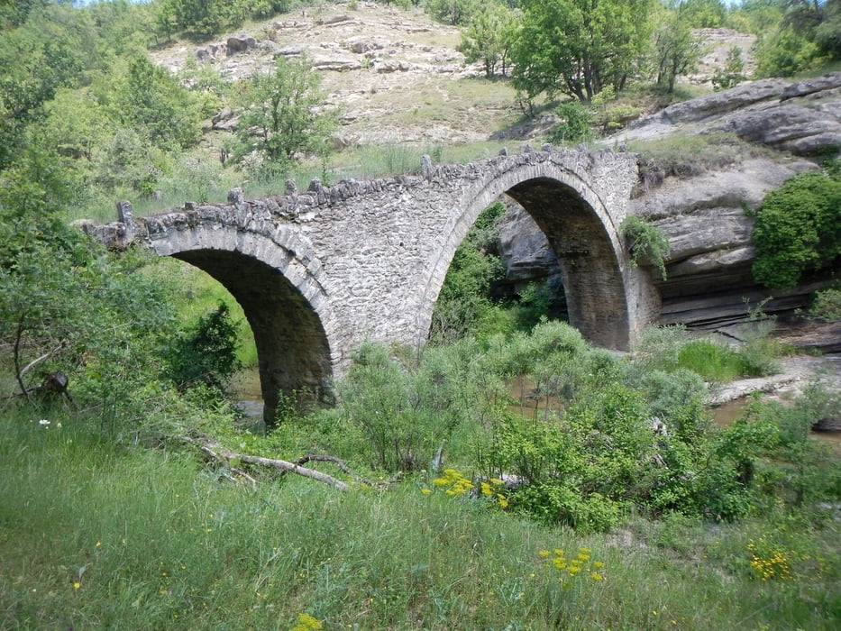
Follow left the road to the path to the stone bridge Tsoukas. The last part of this path was also not easy to find.
From bridge Tsoukas, the trail is good to see, up the hill, to the road 20.
The last part you go on the main road back to start.
After there is no real trail, you go in the green nature. Without GPS, to follow the track, it’s hart to find the right way.
You must up the hill, to the dust road. On the dust road it goes down to a crossing.
Follow left the road to the path to the stone bridge Tsoukas. The last part of this path was also not easy to find.
From bridge Tsoukas, the trail is good to see, up the hill, to the road 20.
The last part you go on the main road back to start.
Galeria trasy
Mapa trasy i profil wysokości
Minimum height 704 m
Maximum height 960 m
More about the tour author

|
Mapdekode |
Komentarze

More about the tour author
|
|
Mapdekode |
Add to my favorites
Remove from my favorites
Edit tags
Open track
My score
Rate