Login

Zapomniałeś swój login?

Cookies have to be accepted!
Your browser's cookie functionality is disabled. Please enable this functionality.

Not a member yet?

Register now
Login

Available for registred users only

Log in to use this feature.

Zapomniałeś swój login?

Cookies have to be accepted!
Your browser's cookie functionality is disabled. Please enable this functionality.

Not a member yet?

Register now
Filter
Kategorie
Advanced filters
  • Długość (km)
  • Wysokość
Zapisz filtr Reset filter

TrackRank

QRCode

Technical data

Długość9,8 km Wysokość649 m Way down649 m Czas trwania04:30 h:m Data07.01.2018
Oceny Author Krajobraz Czynnik zadowolenia Kondycja Technika

Statystyka

490 Widoki Oceny 14 Downloads / Pliki do pobrania Przeciętnie
Rate
  • Karta trasy
  • Dojazd
  • Downloads / Pliki do pobrania

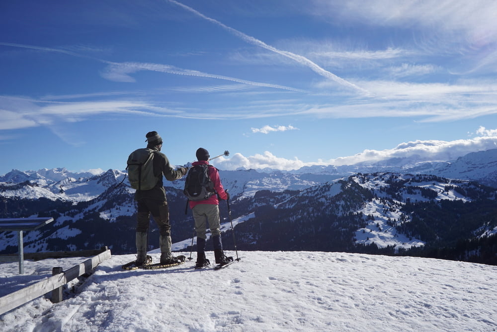
Eine signalisierte Schneeschuhtour ohne grosse technische Herausforderungen.

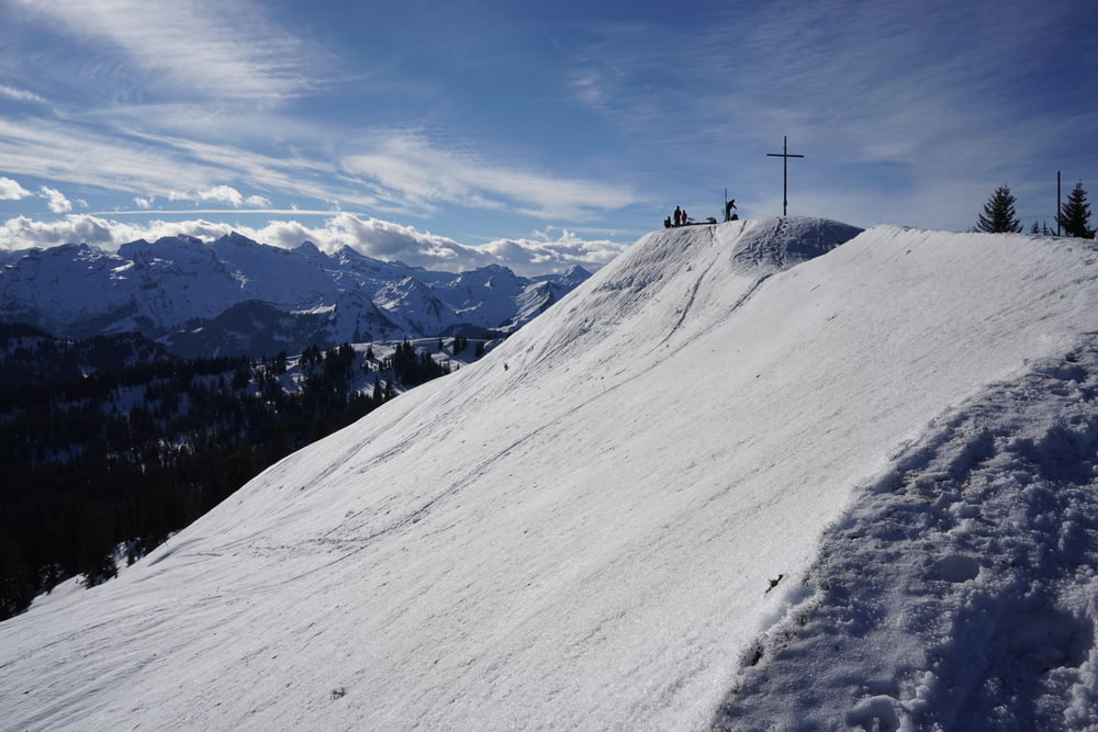
Lediglich der Austieg zum Furgelenstock ist recht steil, hier braucht es etwas Erfahrung. Es gibt allerdings eine Alternativoute, die am Gipfel vorbeiführt. Hierbei verpasst man aber dann auch die traumhafte Aussicht vom Gipfel.

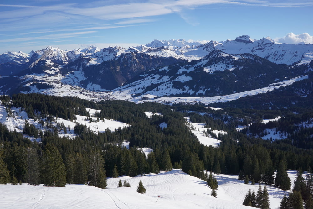
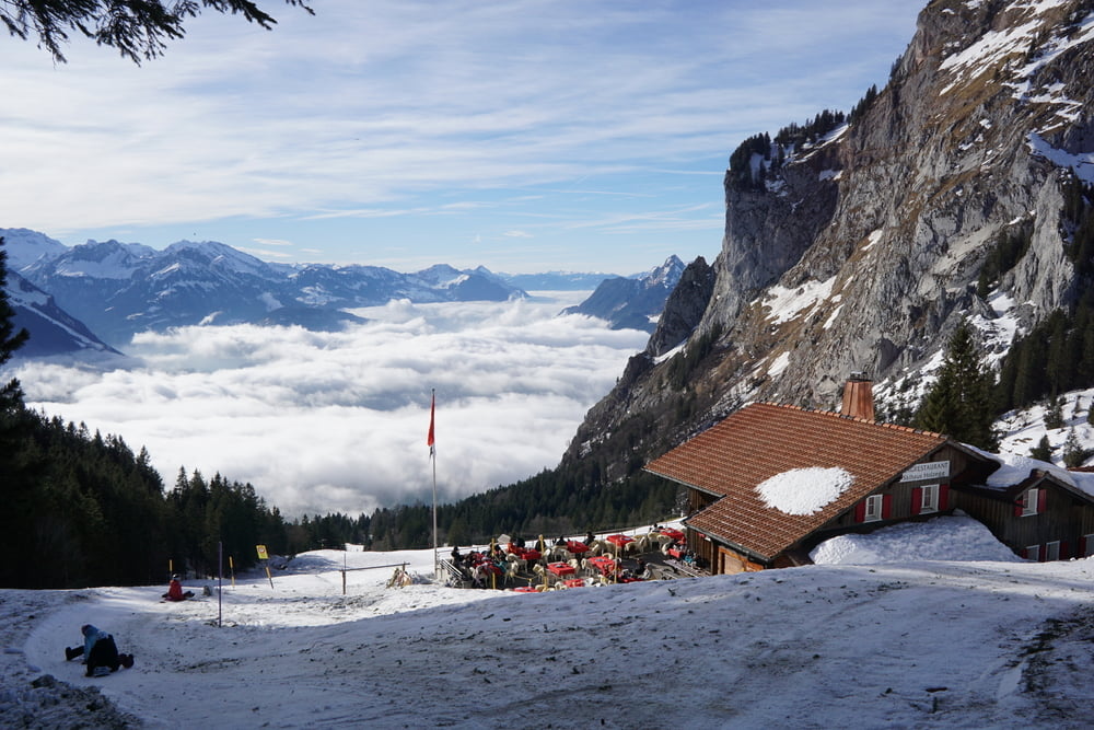
Die Tour ist recht abwechslungsreich, am Anfang und am Ende durch Wald, später durch offenes Gelände, mal abgeschieden, mal am Rande der Skipisten.


Galeria trasy

Mapa trasy i profil wysokości

  • Open Street Map
  • Google
Minimum height 1087 m Maximum height 1656 m Widok szczegółowy

More about the tour author

s-braeutigam
Member since 2009

Send private message

Komentarze

Ausgangspunkt ist Bruni, wo es ausreichend Parkplätze (5,- CHF / Tag, 2018) gibt. Hier ist auch die Endhaltestelle eine Postautolinie (nach Einsiedeln).

GPS tracks

Trackpoints
  • GPX / Garmin Map Source (gpx) download
  • TCX / Garmin Training Center® (tcx) download
  • CRS / Garmin Training Center® (crs) download
  • Google Earth (kml) download
  • G7ToWin (g7t) download
  • TTQV (trk) download
  • Overlay (ovl) download
  • Fugawi (txt) download
  • Kompass (DAV) Track (tk) download
  • Karta trasy (pdf) download
  • Original file of the author (gpx) download

More about the tour author

s-braeutigam
Member since 2009

Send private message
Share track
Add to my favorites
Remove from my favorites
Edit tags
My score
Rate
Trasa: Alpthal
Rodzaj: Rakiety śnieżne
Długość: 9,8 km
Evaluated on:
Czas trwania:
Day(s)
Hour(s)
Minute(s)
Ocena: Krajobraz Czynnik zadowolenia Kondycja Technika