Login

Zapomniałeś swój login?

Cookies have to be accepted!
Your browser's cookie functionality is disabled. Please enable this functionality.

Not a member yet?

Register now
Login

Available for registred users only

Log in to use this feature.

Zapomniałeś swój login?

Cookies have to be accepted!
Your browser's cookie functionality is disabled. Please enable this functionality.

Not a member yet?

Register now
Filter
Kategorie
Advanced filters
  • Długość (km)
  • Wysokość
Zapisz filtr Reset filter

TrackRank

QRCode

Technical data

Długość18,0 km Wysokość597 m Way down254 m Czas trwania06:45 h:m Data10.06.2008
Oceny Author Krajobraz Czynnik zadowolenia Kondycja Technika

Statystyka

903 Widoki Oceny 223 Downloads / Pliki do pobrania Przeciętnie
Rate
  • Karta trasy
  • Dojazd
  • Downloads / Pliki do pobrania

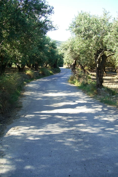
It is a variated tour through green farmland.After Ghallouvas the terrain rices towards Pollirinnia.It could be a good idea to see the ruins at Polirinnia a nother day,as the walk is long enough as it is.

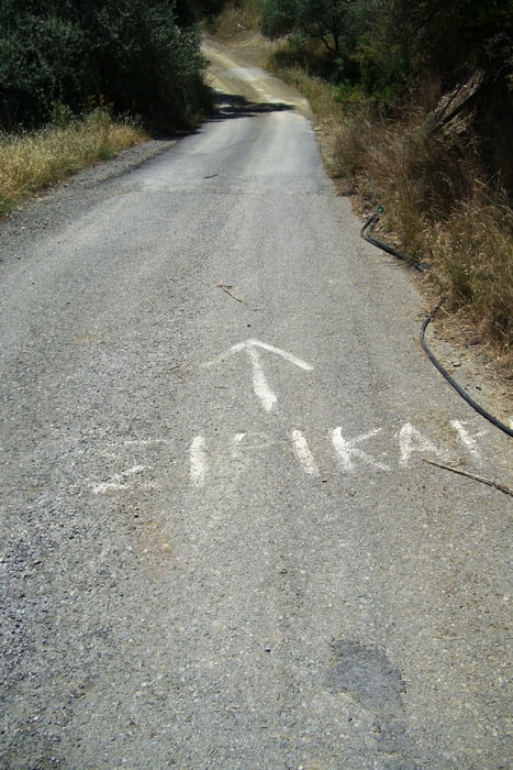
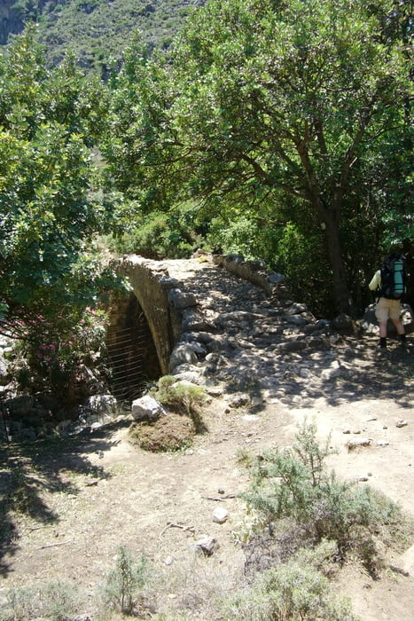
You find the entrance to the gorge by descending the tarmac road from Polirinnia.


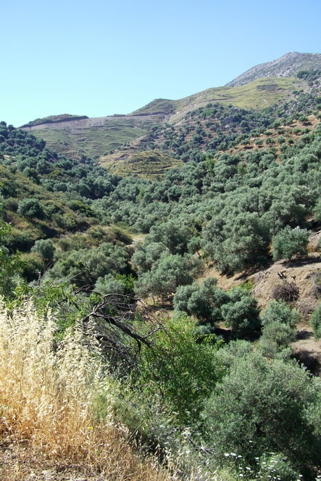
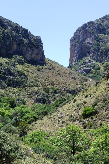
The Sirikari Gorge is very beatifull and not that hard to walk.

If you want to continue to Kambos-a very nice walk to a very different landscape,there is a nice accomodation in Sirikari owned by Spiros. Phone 0030  6945622581


He is very helpfull and can tell you a lot about the area.He can pick you up in the gorge and help you to the trail the next day.  

Galeria trasy

Mapa trasy i profil wysokości

  • Open Street Map
  • Google
Minimum height 8 m Maximum height 364 m Widok szczegółowy

More about the tour author

medoc
Member since 2005

Send private message

Komentarze

Leave Kastelli on a road apx. 500 m E of the paved road to Polirinnia.

The road is easy to find as there is a bank with a Yellov+blue facade.The first 6 km ist straight S to Ghallouvas - a very smal hamlet.Follow the first and only road to the left and follow the blu+yellow marking.

You find the entrance to the gorge by descending the tarmac road from Polirinnia

GPS tracks

Trackpoints
  • GPX / Garmin Map Source (gpx) download
  • TCX / Garmin Training Center® (tcx) download
  • CRS / Garmin Training Center® (crs) download
  • Google Earth (kml) download
  • G7ToWin (g7t) download
  • TTQV (trk) download
  • Overlay (ovl) download
  • Fugawi (txt) download
  • Kompass (DAV) Track (tk) download
  • Karta trasy (pdf) download
  • Original file of the author (gpx) download

More about the tour author

medoc
Member since 2005

Send private message
Share track
Add to my favorites
Remove from my favorites
Edit tags
My score
Rate
Trasa: Kastelli to Sirikari
Rodzaj: Wędrówki
Długość: 18,0 km
Evaluated on:
Czas trwania:
Day(s)
Hour(s)
Minute(s)
Ocena: Krajobraz Czynnik zadowolenia Kondycja Technika