Login

Zapomniałeś swój login?

Cookies have to be accepted!
Your browser's cookie functionality is disabled. Please enable this functionality.

Not a member yet?

Register now
Login

Available for registred users only

Log in to use this feature.

Zapomniałeś swój login?

Cookies have to be accepted!
Your browser's cookie functionality is disabled. Please enable this functionality.

Not a member yet?

Register now
Filter
Kategorie
Advanced filters
  • Długość (km)
  • Wysokość
Zapisz filtr Reset filter

TrackRank

QRCode

Technical data

Długość10,8 km Wysokość1065 m Way down1065 m Czas trwania00:00 h:m Data17.03.2022
Oceny Author Krajobraz Czynnik zadowolenia Kondycja Technika

Statystyka

153 Widoki Oceny 2 Downloads / Pliki do pobrania Przeciętnie
Rate
  • Karta trasy
  • Dojazd
  • Downloads / Pliki do pobrania

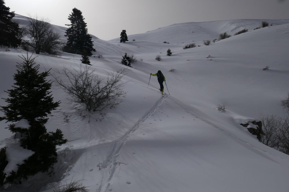
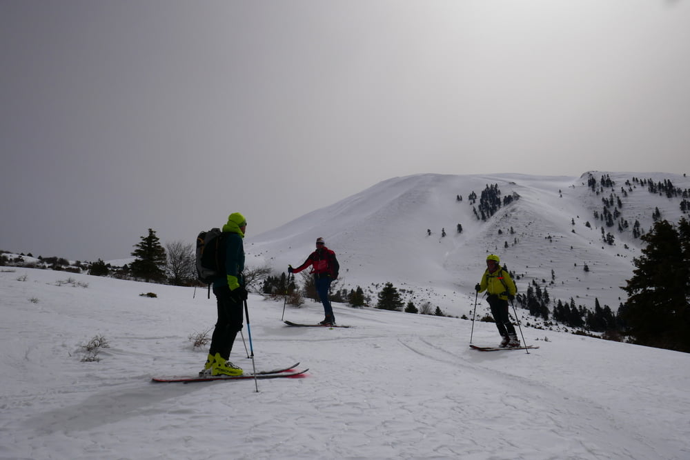
Gradewegs nach Süden bis man weiter oben auf die Straße trifft.Dieser kurz folgen dann verlässt man sie aber nach rechts und geht auf den Gipfel des Ossa zu. Die triebschnee gefüllten Rinnen des Gipfelhanges vermeidet man indem man zuerst weit nach links und dann wieder zurück zum Gipfel quert. Abfahrt wie Aufstieg

Galeria trasy

Mapa trasy i profil wysokości

  • Open Street Map
  • Google
Minimum height 934 m Maximum height 2000 m Widok szczegółowy

More about the tour author

Gi
Member since 2010

Send private message

Komentarze

Von Litochoro die Autobahn in Richtung Athen bis Euaggelismos. Weiter nach Spilia. Von Spilia die Straße weiter bis zur Abzweigung zur Kissavou Hütte.

GPS tracks

Trackpoints
  • GPX / Garmin Map Source (gpx) download
  • TCX / Garmin Training Center® (tcx) download
  • CRS / Garmin Training Center® (crs) download
  • Google Earth (kml) download
  • G7ToWin (g7t) download
  • TTQV (trk) download
  • Overlay (ovl) download
  • Fugawi (txt) download
  • Kompass (DAV) Track (tk) download
  • Karta trasy (pdf) download
  • Original file of the author (gpx) download

More about the tour author

Gi
Member since 2010

Send private message
Share track
Add to my favorites
Remove from my favorites
Edit tags
My score
Rate
Trasa: Ossa
Rodzaj: Narty
Długość: 10,8 km
Evaluated on:
Czas trwania:
Day(s)
Hour(s)
Minute(s)
Ocena: Krajobraz Czynnik zadowolenia Kondycja Technika