Login

Zapomniałeś swój login?

Cookies have to be accepted!
Your browser's cookie functionality is disabled. Please enable this functionality.

Not a member yet?

Register now
Login

Available for registred users only

Log in to use this feature.

Zapomniałeś swój login?

Cookies have to be accepted!
Your browser's cookie functionality is disabled. Please enable this functionality.

Not a member yet?

Register now
Filter
Kategorie
Advanced filters
  • Długość (km)
  • Wysokość
Zapisz filtr Reset filter

TrackRank

QRCode

Technical data

Długość10,9 km Wysokość784 m Way down751 m Czas trwania00:00 h:m Data02.07.2022
Oceny Author Krajobraz Czynnik zadowolenia Kondycja Technika

Statystyka

220 Widoki Oceny 9 Downloads / Pliki do pobrania Przeciętnie
Rate
  • Karta trasy
  • Dojazd
  • Downloads / Pliki do pobrania

Die Auffahrt ist sehr steil, ich musste einiges schieben. Der Weg ist in sehr gutem Zustand und daher technisch einfach "nur" die Steigung ist anspruchsvoll.

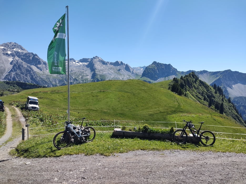
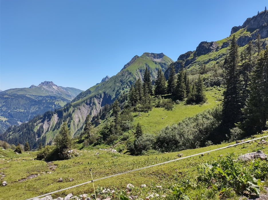
Die Landschaft ist wunderschön. Die Hütte ist erstklassig bewirtschaftet. Auf der Terrasse kann man das Leben genießen.

Abfahrt auf dem gleichen Weg wie die Auffahrt. Steil, Schotter - wenig interessant.

Wer sich die Plagerei bei der Auf(fahrt) noch antun möchte sollte eher wandern. Die geniale Landschaft und die Hütte lohnen aber einen Besuch.

Einschränkungen

This tour has a carry or push section on 2 kilometers

Galeria trasy

Mapa trasy i profil wysokości

  • Open Street Map
  • Google
Minimum height 1078 m Maximum height 1850 m Widok szczegółowy

More about the tour author

Christi0012
Member since 2005

Send private message

Komentarze

Parken an der Bundesstraße zwischen Bad Hopfreben und Unterboden. Es ist Platz zum Parken da, kann an beliebten Wandertagen aber knapp werden.

Einschränkungen

This tour has a carry or push section on 2 kilometers

GPS tracks

Trackpoints
  • GPX / Garmin Map Source (gpx) download
  • TCX / Garmin Training Center® (tcx) download
  • CRS / Garmin Training Center® (crs) download
  • Google Earth (kml) download
  • G7ToWin (g7t) download
  • TTQV (trk) download
  • Overlay (ovl) download
  • Fugawi (txt) download
  • Kompass (DAV) Track (tk) download
  • Karta trasy (pdf) download
  • Original file of the author (gpx) download

More about the tour author

Christi0012
Member since 2005

Send private message
Share track
Add to my favorites
Remove from my favorites
Edit tags
My score
Rate
Trasa: Biberacher Hütte
Rodzaj: Rower górski (MTB)
Długość: 10,9 km
Evaluated on:
Czas trwania:
Day(s)
Hour(s)
Minute(s)
Ocena: Krajobraz Czynnik zadowolenia Kondycja Technika