


Rif. Jumarre-Perosa Argentina
Rif. Jumarre-Colle Vaccera-Rue-Pramollo-
bei Colle Laz Arà-Lago Lauson (2020m)-Clot-Perosa Argentina
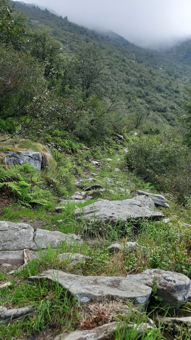
Gute Etappe. Die wenigen hm zum Colle Vaccera sind gleich genmacht, ab da Schotter bis runter nach Rue (ca 680m).Ab da Asphalt aufwärts bis zum Wegpunkt. Kurz vorm Colle Laz Arà links weg auf den sentiero. Zunächst gut zu schieben, tw sogar fahrbar.
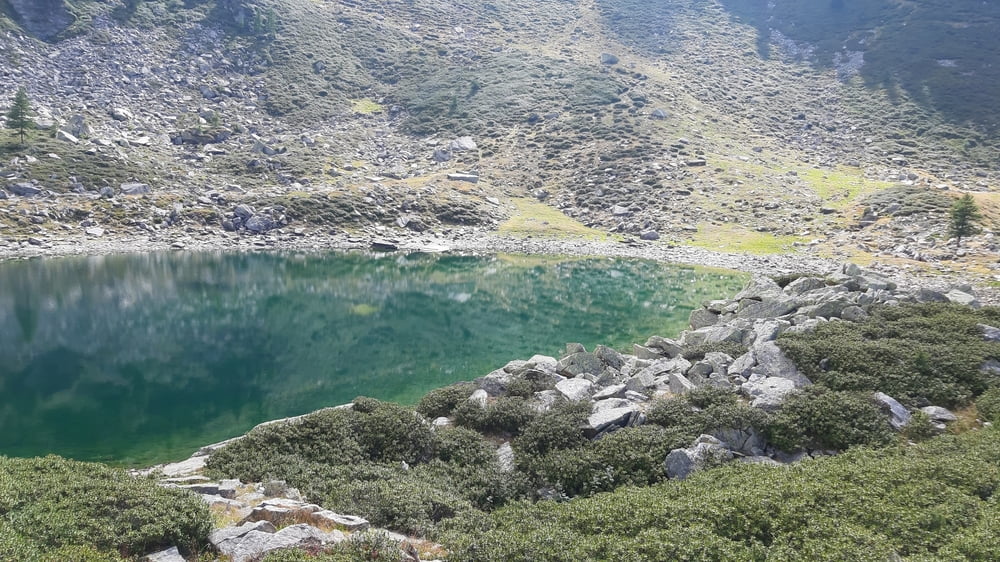
Dann mal kurz runter, ca 50hm, plötzlich "Pramollo Radweg"-Schild mitten im Wald. Bald daruf eine neu angelegte Schotterstraße. Leider geht’s schon bald auf einem Fußweg ins Gebüsch. Ca 1,5 h Schiebung bis kurz vorm Lago Lauson. Dieser ca 1km Abstecher lohnt sich.
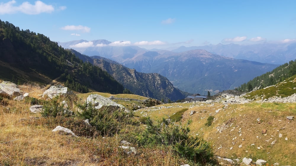
Von da die übliche Rumpelpiste runter bis Clot und dann auf Teer nach Perosa Argentina.
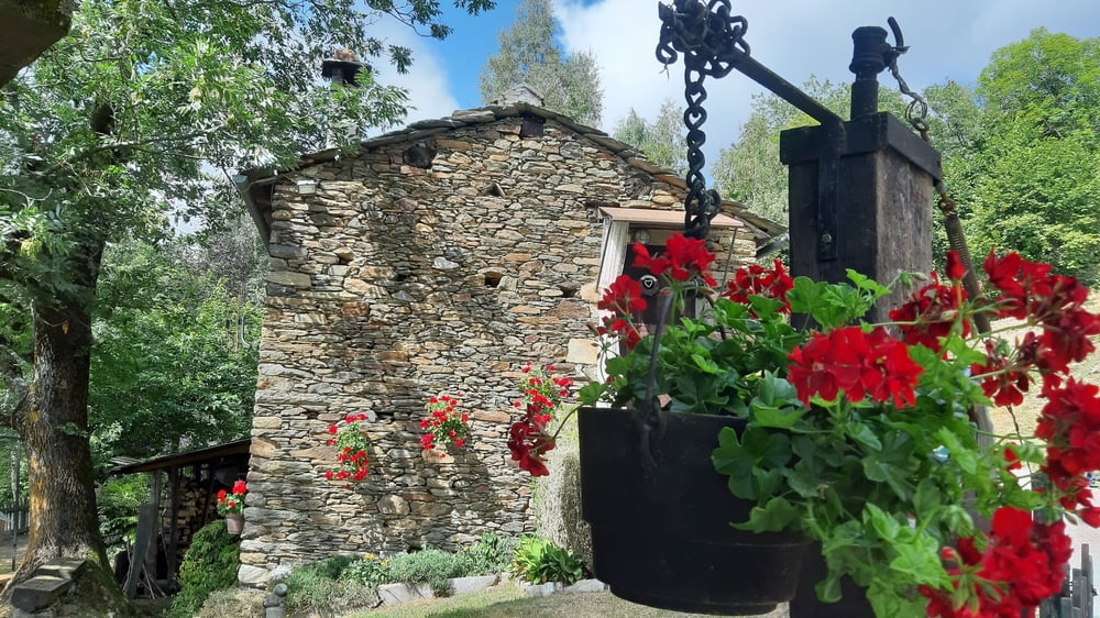
Quartier Hotel Chabriera, NF 70€, ausgezeichnetes Abendessen a la carte. Sehr gut!
Galeria trasy
Mapa trasy i profil wysokości
Minimum height 653 m
Maximum height 2024 m
More about the tour author
|
|
mitter |
Komentarze

Start vom Rif Jumarre.
GPS tracks
Trackpoints-
GPX / Garmin Map Source (gpx) download
-
TCX / Garmin Training Center® (tcx) download
-
CRS / Garmin Training Center® (crs) download
-
Google Earth (kml) download
-
G7ToWin (g7t) download
-
TTQV (trk) download
-
Overlay (ovl) download
-
Fugawi (txt) download
-
Kompass (DAV) Track (tk) download
-
Karta trasy (pdf) download
-
Original file of the author (gpx) download
More about the tour author
|
|
mitter |
Add to my favorites
Remove from my favorites
Edit tags
Open track
My score
Rate