Login

Zapomniałeś swój login?

Cookies have to be accepted!
Your browser's cookie functionality is disabled. Please enable this functionality.

Not a member yet?

Register now
Login

Available for registred users only

Log in to use this feature.

Zapomniałeś swój login?

Cookies have to be accepted!
Your browser's cookie functionality is disabled. Please enable this functionality.

Not a member yet?

Register now
Filter
Kategorie
Advanced filters
  • Długość (km)
  • Wysokość
Zapisz filtr Reset filter

TrackRank

QRCode

Technical data

Długość37,8 km Wysokość1602 m Way down1273 m Czas trwania05:21 h:m Data15.09.2023
Oceny Author Krajobraz Czynnik zadowolenia Kondycja Technika

Statystyka

145 Widoki Oceny 0 Downloads / Pliki do pobrania Przeciętnie
Rate
  • Karta trasy
  • Dojazd
  • Downloads / Pliki do pobrania

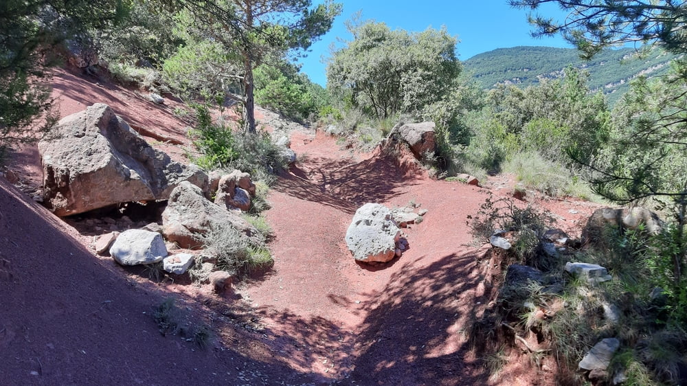
Erster längerer Anstieg (ca 800hm) in angenehmer Steigung zunächst auf Beton, die letzten ca 300hm anspruchsvoller auf teils grobem Schotter, aber gut fahrbar.

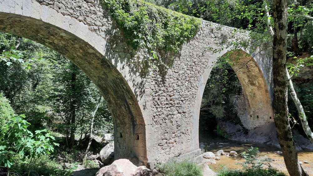
Abfahrt auch gut. Weiter unten einen Brunnen mit gutem Wasser gefunden. Am Fluss in einem idyllischem Cafe (Easy day) eingekehrt. Dann beginnt die schwere Aufschiebung, ca 450hm. Bis zur Kreuzung mit der Schotterstraße, hätten wir besser diese benützt!

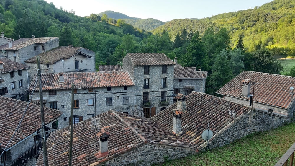
Runter wieder vieles zu schieben. Leider ist auch den letzten "Hügel" rauf und runter wieder einiges zu schieben. Beget ist wieder ein sehr schönes Dörfchen… und wir hatten wieder 3 Patschen.

Quartier: Hostal Al Forn, großes Apartment mit AE,  und F ca 72€, sehr gut!

Galeria trasy

Mapa trasy i profil wysokości

  • Open Street Map
  • Google
Minimum height 210 m Maximum height 992 m Widok szczegółowy

More about the tour author

mitter
Member since 2008

Send private message

Komentarze

Start in Albanyà.

GPS tracks

Trackpoints
  • GPX / Garmin Map Source (gpx) download
  • TCX / Garmin Training Center® (tcx) download
  • CRS / Garmin Training Center® (crs) download
  • Google Earth (kml) download
  • G7ToWin (g7t) download
  • TTQV (trk) download
  • Overlay (ovl) download
  • Fugawi (txt) download
  • Kompass (DAV) Track (tk) download
  • Karta trasy (pdf) download
  • Original file of the author (gpx) download

More about the tour author

mitter
Member since 2008

Send private message
Share track
Add to my favorites
Remove from my favorites
Edit tags
My score
Rate
Trasa: Albanyà-Beget 230805 (3. Transpyration 2023)
Rodzaj: Rower górski (MTB)
Długość: 37,8 km
Evaluated on:
Czas trwania:
Day(s)
Hour(s)
Minute(s)
Ocena: Krajobraz Czynnik zadowolenia Kondycja Technika