Login

Zapomniałeś swój login?

Cookies have to be accepted!
Your browser's cookie functionality is disabled. Please enable this functionality.

Not a member yet?

Register now
Login

Available for registred users only

Log in to use this feature.

Zapomniałeś swój login?

Cookies have to be accepted!
Your browser's cookie functionality is disabled. Please enable this functionality.

Not a member yet?

Register now
Filter
Kategorie
Advanced filters
  • Długość (km)
  • Wysokość
Zapisz filtr Reset filter

TrackRank

QRCode

Technical data

Długość5,9 km Wysokość435 m Way down450 m Czas trwania01:30 h:m Data29.02.2024
Oceny Author Krajobraz Czynnik zadowolenia Kondycja Technika

Statystyka

121 Widoki Oceny 0 Downloads / Pliki do pobrania Przeciętnie
Rate
  • Karta trasy
  • Dojazd
  • Downloads / Pliki do pobrania

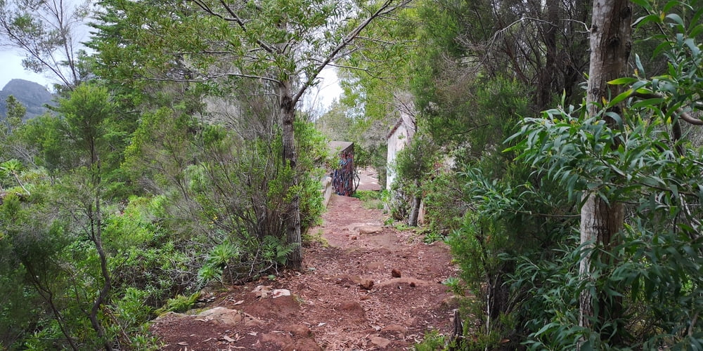
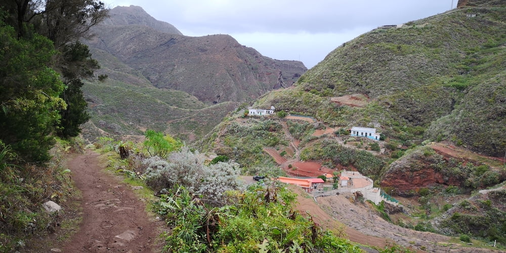
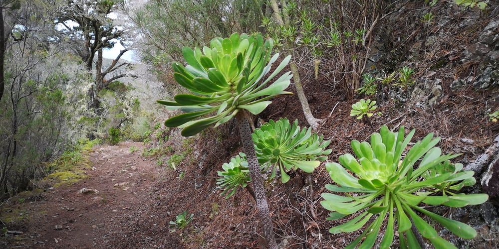
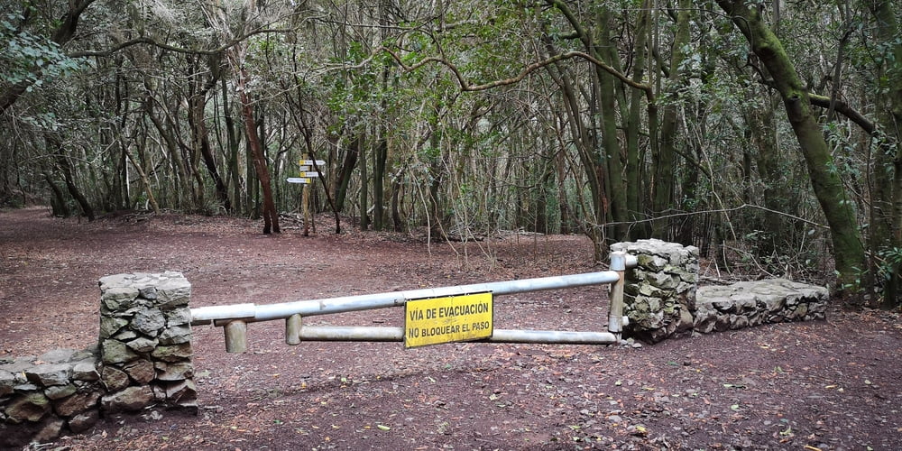
Eine Wanderung zum Eingewöhnen durch Lorbeerblattwald. Ziel ist die Siedlung El Peladero. Sie liegt abgeschieden eingebettet in den Bergen. Hier beginnt dann auch eine Kanalwanderung. Die ist aber offiziell verboten. Die hebe ich mir für einen anderen Tag auf.


Ein Highlight ist die Casa Fuset in etwa in der Mitte der Wanderung. Die Casa Fuset ist jetzt nur mehr eine Ruine. Es ranken sich um dieses Haus einige Mythen.

https://meinteneriffa.com/2016/10/03/casa-fuset-casa-de-franco/

http://www.tenerifeontop.eu/index.php/de/wandern-und-entdecken/27-wandern-und-entdecken/74-casa-fuset-ein-haus-mit-geschichte

https://www.maximini-world.de/photography/blog/casa-fuset-casa-franco/


Galeria trasy

Mapa trasy i profil wysokości

  • Open Street Map
  • Google
Minimum height 426 m Maximum height 872 m Widok szczegółowy

More about the tour author

JoachimDief
Member since 2016

Send private message

Komentarze

Der Startpunkt befindet sich in einer Spitzkurve der TF143 (Carretera del Batán). Der Punkt wird auch als „Las Cuadras de Don Benito“ auf manchen Karten Bezeichnet. Häuser gibt es da nicht. Es führt ein Weg in den Wald. Autos müssen vor der Schranke geparkt werden.

GPS tracks

Trackpoints
  • GPX / Garmin Map Source (gpx) download
  • TCX / Garmin Training Center® (tcx) download
  • CRS / Garmin Training Center® (crs) download
  • Google Earth (kml) download
  • G7ToWin (g7t) download
  • TTQV (trk) download
  • Overlay (ovl) download
  • Fugawi (txt) download
  • Kompass (DAV) Track (tk) download
  • Karta trasy (pdf) download
  • Original file of the author (gpx) download

More about the tour author

JoachimDief
Member since 2016

Send private message
Share track
Add to my favorites
Remove from my favorites
Edit tags
My score
Rate
Trasa: Casa Fuset
Rodzaj: Wędrówki
Długość: 5,9 km
Evaluated on:
Czas trwania:
Day(s)
Hour(s)
Minute(s)
Ocena: Krajobraz Czynnik zadowolenia Kondycja Technika