Login

Zapomniałeś swój login?

Cookies have to be accepted!
Your browser's cookie functionality is disabled. Please enable this functionality.

Not a member yet?

Register now
Login

Available for registred users only

Log in to use this feature.

Zapomniałeś swój login?

Cookies have to be accepted!
Your browser's cookie functionality is disabled. Please enable this functionality.

Not a member yet?

Register now
Filter
Kategorie
Advanced filters
  • Długość (km)
  • Wysokość
Zapisz filtr Reset filter

TrackRank

QRCode

Technical data

Długość64,4 km Wysokość269 m Way down611 m Czas trwania03:47 h:m Data29.03.2024
Oceny Author Krajobraz Czynnik zadowolenia Kondycja Technika

Statystyka

183 Widoki Oceny 0 Downloads / Pliki do pobrania Przeciętnie
Rate
  • Karta trasy
  • Dojazd
  • Downloads / Pliki do pobrania
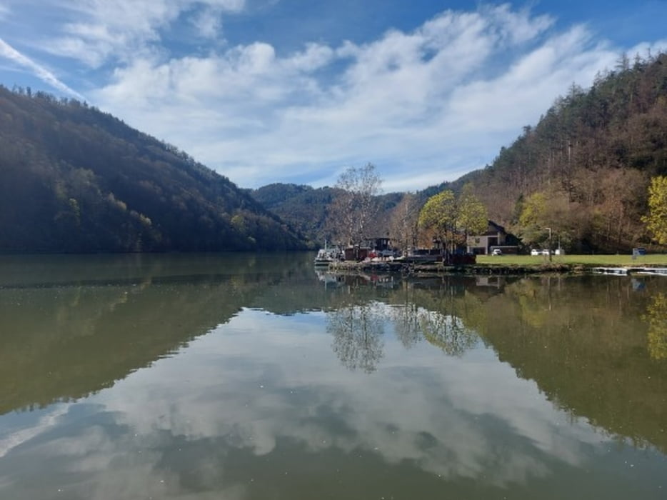
Start in Aigen-Schlägl im Böhmerwald - bergauf nach Rohrbach und dann auf der Tannberger Landesstraße entlang der Kleinen Mühl hinunter ins Donautal. Der Donau entlang bis Ottensheim.

Galeria trasy

Mapa trasy i profil wysokości

  • Open Street Map
  • Google
Minimum height 252 m Maximum height 677 m Widok szczegółowy

More about the tour author

rail-com

Komentarze

Mit der Bahn von Linz nach Aigen-Schlägl.

GPS tracks

Trackpoints
  • GPX / Garmin Map Source (gpx) download
  • TCX / Garmin Training Center® (tcx) download
  • CRS / Garmin Training Center® (crs) download
  • Google Earth (kml) download
  • G7ToWin (g7t) download
  • TTQV (trk) download
  • Overlay (ovl) download
  • Fugawi (txt) download
  • Kompass (DAV) Track (tk) download
  • Karta trasy (pdf) download
  • Original file of the author (gpx) download

More about the tour author

rail-com

Share track
Add to my favorites
Remove from my favorites
Edit tags
My score
Rate
Trasa: Flußradwege Oberösterreich Tour 8 Kleine Mühltour R26
Rodzaj: Trasy rowerowe
Długość: 64,4 km
Evaluated on:
Czas trwania:
Day(s)
Hour(s)
Minute(s)
Ocena: Krajobraz Czynnik zadowolenia Kondycja Technika