Login

Zapomniałeś swój login?

Cookies have to be accepted!
Your browser's cookie functionality is disabled. Please enable this functionality.

Not a member yet?

Register now
Login

Available for registred users only

Log in to use this feature.

Zapomniałeś swój login?

Cookies have to be accepted!
Your browser's cookie functionality is disabled. Please enable this functionality.

Not a member yet?

Register now
Filter
Kategorie
Advanced filters
  • Długość (km)
  • Wysokość
Zapisz filtr Reset filter

TrackRank

QRCode

Technical data

Długość12,5 km Wysokość1023 m Way down785 m Czas trwania04:20 h:m Data29.01.2024
Oceny Author Krajobraz Czynnik zadowolenia Kondycja Technika

Statystyka

147 Widoki Oceny 0 Downloads / Pliki do pobrania Przeciętnie
Rate
  • Karta trasy
  • Dojazd
  • Downloads / Pliki do pobrania
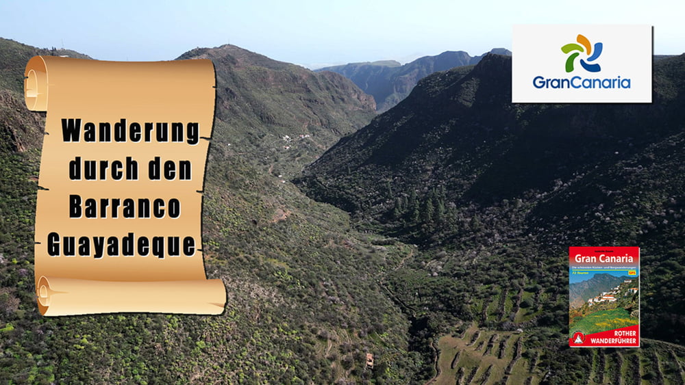
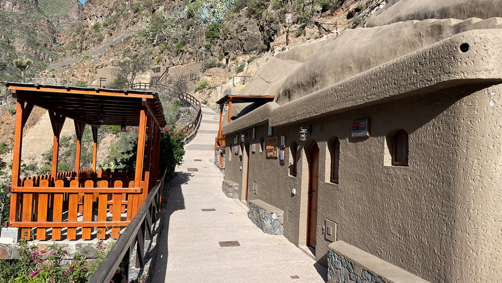
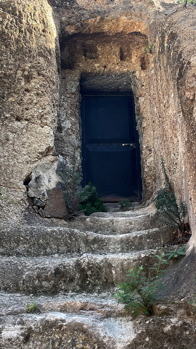
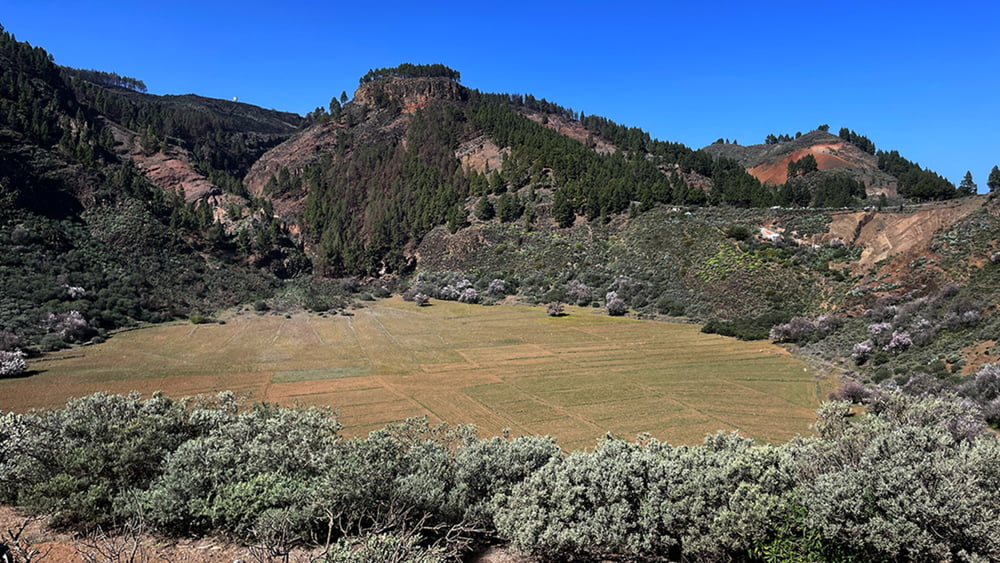
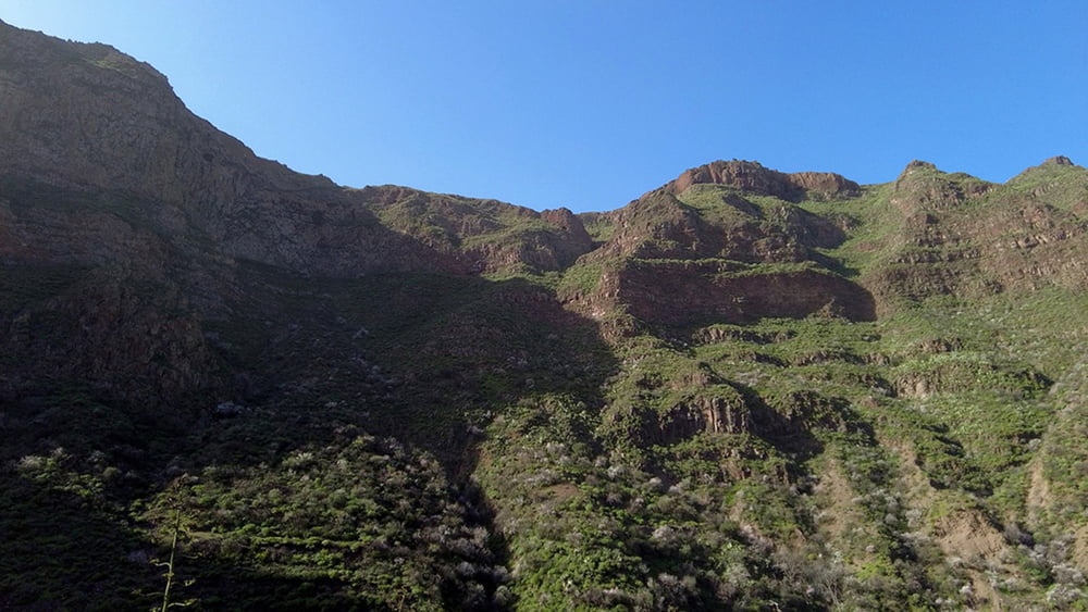
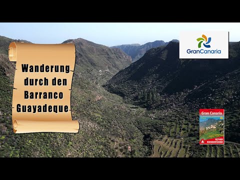
Wir starten unsere Wanderung mit einem Rundgang an den Höhlenwohnungen vorbei, unterhalb von der Montaña de las Tierras. Von dort geht es nun 7 km mal mehr mal weniger stetig bergan. Beim Aufstieg kommen wir an vielen blühenden Mandelbäume vorbei und erreichen schließlich die Caldera de los Marteles. Von dort liegen noch 180 hm vor uns bis wir den höchsten Punkt erreicht haben. Dann folgt eine leicht bergab Passage von 4,3 Km, bevor es richtig gefährlich wird. Auf 1,3 km müssen wir 330 hm überwinden wo wir an unsere Grenzen stoßen.

Galeria trasy

Mapa trasy i profil wysokości

  • Open Street Map
  • Google
Minimum height 954 m Maximum height 1682 m Widok szczegółowy

More about the tour author

schleidy
Member since 2013

Send private message

Komentarze

GPS tracks

Trackpoints
  • GPX / Garmin Map Source (gpx) download
  • TCX / Garmin Training Center® (tcx) download
  • CRS / Garmin Training Center® (crs) download
  • Google Earth (kml) download
  • G7ToWin (g7t) download
  • TTQV (trk) download
  • Overlay (ovl) download
  • Fugawi (txt) download
  • Kompass (DAV) Track (tk) download
  • Karta trasy (pdf) download
  • Original file of the author (gpx) download

More about the tour author

schleidy
Member since 2013

Send private message
Share track
Add to my favorites
Remove from my favorites
Edit tags
My score
Rate
Trasa: Gran Canaria: Wanderung durch den Bco. Guayadeque
Rodzaj: Wędrówki
Długość: 12,5 km
Evaluated on:
Czas trwania:
Day(s)
Hour(s)
Minute(s)
Ocena: Krajobraz Czynnik zadowolenia Kondycja Technika