Login

Zapomniałeś swój login?

Cookies have to be accepted!
Your browser's cookie functionality is disabled. Please enable this functionality.

Not a member yet?

Register now
Login

Available for registred users only

Log in to use this feature.

Zapomniałeś swój login?

Cookies have to be accepted!
Your browser's cookie functionality is disabled. Please enable this functionality.

Not a member yet?

Register now
Filter
Kategorie
Advanced filters
  • Długość (km)
  • Wysokość
Zapisz filtr Reset filter

TrackRank

QRCode

Technical data

Długość101,0 km Wysokość1081 m Way down1072 m Czas trwania03:45 h:m Data20.09.2008
Oceny Author Krajobraz Czynnik zadowolenia Kondycja Technika

Statystyka

683 Widoki Oceny 70 Downloads / Pliki do pobrania Przeciętnie
Rate
  • Karta trasy
  • Dojazd
  • Downloads / Pliki do pobrania

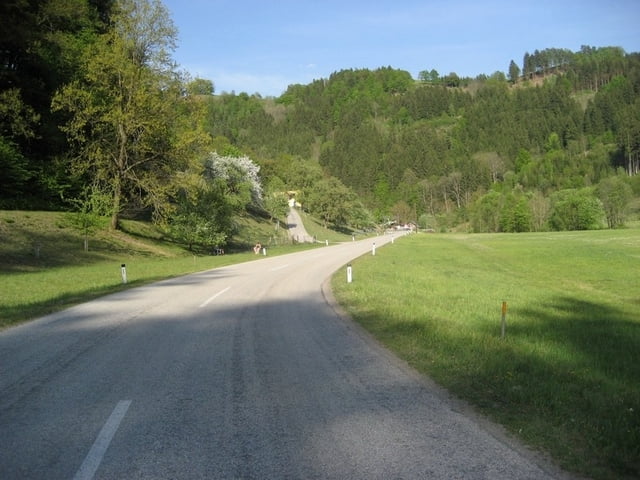
Ab Schwertberg geht es im Aisttal auf der nicht all zu viel Befahrenen Bundesstrasse immer leicht bergauf ca 1-3% bis Höhe Gutau.

Dann etwas steiler ca. 5-7% nach St.Leonhard.

Danach immer Bergauf-Bergab über Weitersfelden nach Bad Zell.

Dort kurz eingekehrt und Platten behoben.

Nun eigentlich nur mehr Bergab über Tragwein und Schwertberg zurück.

Galeria trasy

Mapa trasy i profil wysokości

  • Open Street Map
  • Google
Minimum height 247 m Maximum height 846 m Widok szczegółowy

More about the tour author

Chris
Member since 2006

Send private message

Komentarze

Ausgangspunkt ist die Industriezone in Ennsdorf.

Von der Autobahn über Ausfahrt St.Valentin oder Enns

Von der B3 über die Mauthausener Brücke.

Oder einfach direkt in Mauthausen starten, da geht sich aber die 100km nicht aus.

GPS tracks

Trackpoints
  • GPX / Garmin Map Source (gpx) download
  • TCX / Garmin Training Center® (tcx) download
  • CRS / Garmin Training Center® (crs) download
  • Google Earth (kml) download
  • G7ToWin (g7t) download
  • TTQV (trk) download
  • Overlay (ovl) download
  • Fugawi (txt) download
  • Kompass (DAV) Track (tk) download
  • Karta trasy (pdf) download
  • Original file of the author (gpx) download

More about the tour author

Chris
Member since 2006

Send private message
Share track
Add to my favorites
Remove from my favorites
Edit tags
My score
Rate
Trasa: Mauthausen-Aisttal-Weitersfelden-BadZell-Mauth.
Rodzaj: Rower szosowy
Długość: 101,0 km
Evaluated on:
Czas trwania:
Day(s)
Hour(s)
Minute(s)
Ocena: Krajobraz Czynnik zadowolenia Kondycja Technika