


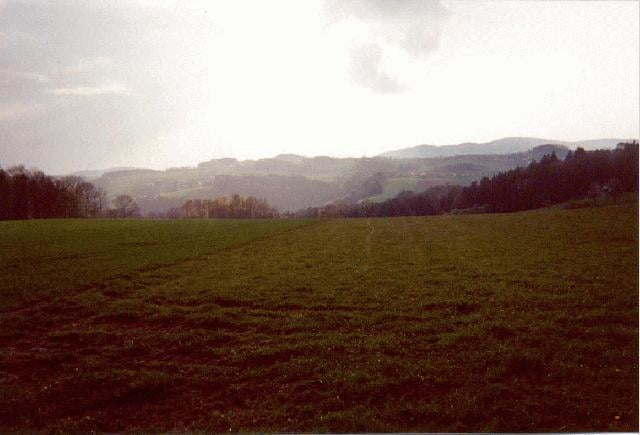
Die klassische Hausrunde der Linzer Mountainbiker. Anfangs zum Teil sehr steile Asphaltauffahrt. Kurz vor dem "Gasthaus zur Gis" wartet ein fahrtechnischer Uphill- Leckerbissen, von manchen auch ehrfurchtsvoll Wurzelkriterium genannt.
Nach einer Stärkung auf der Terrasse des Gasthauses muss man nur noch wenige Meter hinauftreten zur Giselawarte* und dann weiter auf Forstwegen nach Kirchschlag. Von dort geht es zum Teil auf Nebenstraßen und Wanderwegen über Hellmondsödt nach Oberbairing. Der Downhill nach St. Magdalena belohnt noch ein letzes Mal mit schönen Singletrails.
* Die Giselawarte hat ihren Namen zu Ehren der Prinzessin Gisela, einer Tochter von Kaiser Franz Josef.
Further information at
http://www.gisaustria.comGaleria trasy
Mapa trasy i profil wysokości
Minimum height
Maximum height
More about the tour author
|
|
Dietmar |
Komentarze

More about the tour author
|
|
Dietmar |
Add to my favorites
Remove from my favorites
Edit tags
Open track
My score
Rate